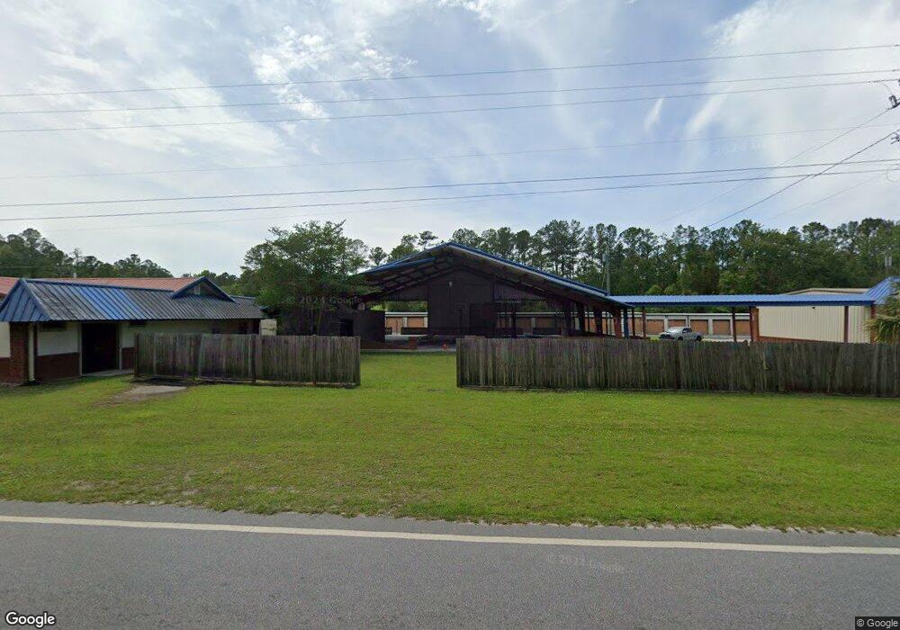
5685 Us Highway 17 N Kingsland, GA 31548
Estimated Value: $340,000 - $1,428,000
2
Beds
1
Bath
1,881
Sq Ft
$491/Sq Ft
Est. Value
About This Home
This home is located at 5685 Us Highway 17 N, Kingsland, GA 31548 and is currently estimated at $924,010, approximately $491 per square foot. 5685 Us Highway 17 N is a home with nearby schools including Mamie Lou Gross Elementary School, Camden Middle School, and Camden County High School.
Ownership History
Date
Name
Owned For
Owner Type
Purchase Details
Closed on
Jan 5, 2024
Sold by
Peeples Living Trust
Bought by
All Steel Storage Kingsland Llc
Current Estimated Value
Home Financials for this Owner
Home Financials are based on the most recent Mortgage that was taken out on this home.
Original Mortgage
$1,000,000
Outstanding Balance
$804,354
Interest Rate
7.03%
Mortgage Type
New Conventional
Estimated Equity
$119,656
Create a Home Valuation Report for This Property
The Home Valuation Report is an in-depth analysis detailing your home's value as well as a comparison with similar homes in the area
Home Values in the Area
Average Home Value in this Area
Purchase History
| Date | Buyer | Sale Price | Title Company |
|---|---|---|---|
| All Steel Storage Kingsland Llc | $1,325,000 | -- |
Source: Public Records
Mortgage History
| Date | Status | Borrower | Loan Amount |
|---|---|---|---|
| Open | All Steel Storage Kingsland Llc | $1,000,000 |
Source: Public Records
Tax History Compared to Growth
Tax History
| Year | Tax Paid | Tax Assessment Tax Assessment Total Assessment is a certain percentage of the fair market value that is determined by local assessors to be the total taxable value of land and additions on the property. | Land | Improvement |
|---|---|---|---|---|
| 2024 | $14,606 | $486,161 | $32,400 | $453,761 |
| 2023 | $11,125 | $358,708 | $32,400 | $326,308 |
| 2022 | $13,363 | $437,788 | $32,400 | $405,388 |
| 2021 | $7,438 | $230,485 | $32,400 | $198,085 |
| 2020 | $7,602 | $229,034 | $32,400 | $196,634 |
| 2019 | $7,660 | $229,034 | $32,400 | $196,634 |
| 2016 | $8,865 | $289,608 | $32,400 | $257,208 |
| 2015 | $8,713 | $293,771 | $32,400 | $261,372 |
| 2014 | $9,773 | $389,364 | $32,400 | $356,964 |
Source: Public Records
Map
Nearby Homes
- 164 Huntington Dr
- 213 Grassmere St
- 208 Foxwood Dr
- 572 Henrietta St
- 213 Merriwood Cir
- 232 Woodbridge Rd
- 20 Acres Kingsland West of Hwy 17
- 102 Briar Cir
- 103 Briar Cir
- 135 W Woodhaven Dr
- 0.9 AC Harriets Bluff Rd
- 1.85 AC Harriets Bluff Rd
- 1.9 AC Harriets Bluff Rd
- 1.89 AC Harriets Bluff Rd
- 22.52 AC Harriets Bluff Rd
- 0 E Edmund Ave Unit 23619327
- 103 Taylor Cove
- 105 Taylor Cove
- 105 Taylor Cove
- 103 Taylor Cove
- 859 Us Highway 17 N
- 3401 Colerain Rd
- 3266 Colerain Rd
- 5571 Highway 17 Unit B
- 5571 Highway 17 Unit D
- 5571 Highway 17 Unit C
- 5556 Us Highway 17 N
- 727 Highway 17
- 727 Hwy 17
- 53 Helen Taylor Ln
- 76 Helen Taylor Ln
- 3502 Colerain Rd
- 23 Helen Taylor Ln
- 66 Helen Taylor Ln
- 3553 Colerain Rd
- 88 Helen Taylor Ln
- 3116 Colerain Rd
- 3116 Colerain Rd
- 3571 Colerain Rd
- 885 Martin Luther King jr Blvd