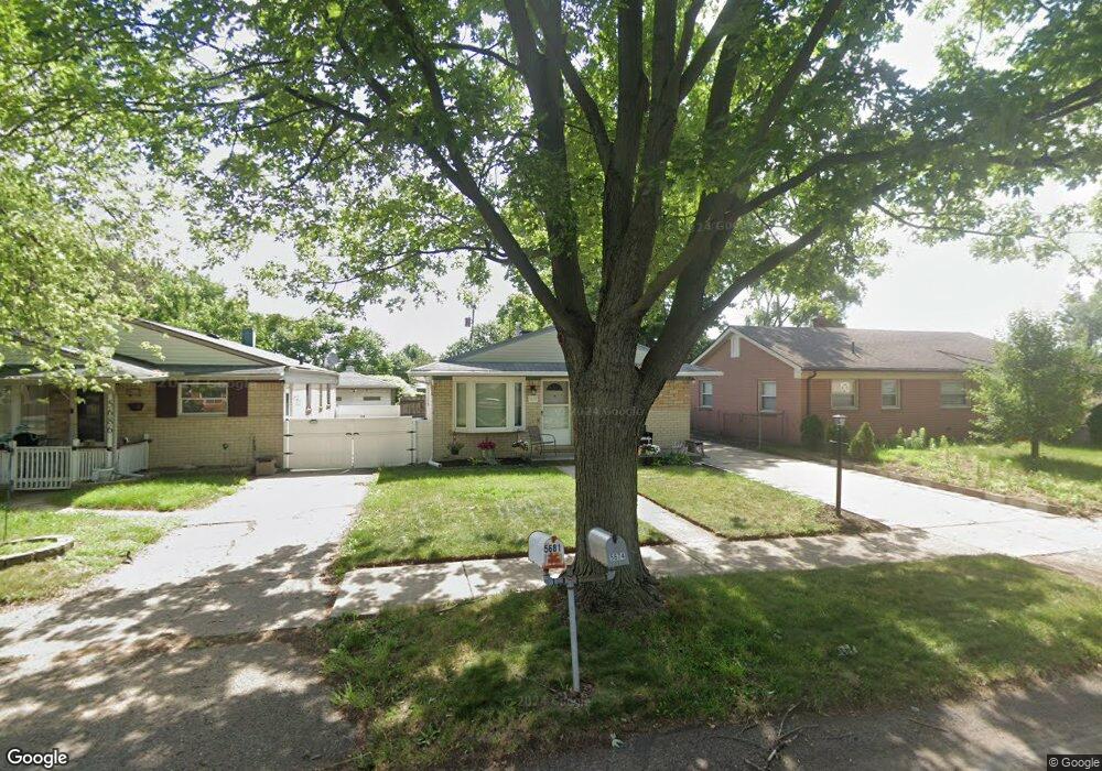
5686 Herbert St Westland, MI 48185
Estimated Value: $145,522 - $215,000
--
Bed
1
Bath
945
Sq Ft
$197/Sq Ft
Est. Value
About This Home
This home is located at 5686 Herbert St, Westland, MI 48185 and is currently estimated at $186,631, approximately $197 per square foot. 5686 Herbert St is a home located in Wayne County with nearby schools including P.D. Graham Elementary School, Marshall Upper Elementary School, and Adlai Stevenson Middle School.
Ownership History
Date
Name
Owned For
Owner Type
Purchase Details
Closed on
Aug 1, 2009
Sold by
Hancock Dwight T and Hancock Margaret I
Bought by
Thompson Michael J
Current Estimated Value
Home Financials for this Owner
Home Financials are based on the most recent Mortgage that was taken out on this home.
Original Mortgage
$58,624
Interest Rate
5.25%
Mortgage Type
Seller Take Back
Create a Home Valuation Report for This Property
The Home Valuation Report is an in-depth analysis detailing your home's value as well as a comparison with similar homes in the area
Home Values in the Area
Average Home Value in this Area
Purchase History
| Date | Buyer | Sale Price | Title Company |
|---|---|---|---|
| Thompson Michael J | $58,624 | None Available |
Source: Public Records
Mortgage History
| Date | Status | Borrower | Loan Amount |
|---|---|---|---|
| Closed | Thompson Michael J | $58,624 |
Source: Public Records
Tax History Compared to Growth
Tax History
| Year | Tax Paid | Tax Assessment Tax Assessment Total Assessment is a certain percentage of the fair market value that is determined by local assessors to be the total taxable value of land and additions on the property. | Land | Improvement |
|---|---|---|---|---|
| 2025 | $1,984 | $75,300 | $0 | $0 |
| 2024 | $1,984 | $73,200 | $0 | $0 |
| 2023 | $1,633 | $66,600 | $0 | $0 |
| 2022 | $1,903 | $59,800 | $0 | $0 |
| 2021 | $1,855 | $55,100 | $0 | $0 |
| 2020 | $1,834 | $48,200 | $0 | $0 |
| 2019 | $2,023 | $44,600 | $0 | $0 |
| 2018 | $1,585 | $40,100 | $0 | $0 |
| 2017 | $1,347 | $37,200 | $0 | $0 |
| 2016 | $2,320 | $36,300 | $0 | $0 |
| 2015 | $3,325 | $34,340 | $0 | $0 |
| 2013 | $3,493 | $35,710 | $0 | $0 |
| 2012 | $1,751 | $40,610 | $0 | $0 |
Source: Public Records
Map
Nearby Homes
- 5692 N Globe St
- 0 Dowling Ave
- 5889 N Globe St
- 6026 Wilmer St
- 5834 Morley St
- 6013 N Newburgh Rd
- 37186 Amhurst Dr Unit 5
- 6541 Pembrook Dr
- 38066 Sherwood St
- 38030 Greenwood St
- 35833 Ford Rd
- 38201 Carolon Blvd Unit 17B
- 38247 Carolon Blvd Unit 12C
- 35863 Hunter Ave Unit 34
- 38074 Hixford Place
- 977 N Newburgh Rd
- 35754 Castlewood Ct
- 38122 Hixford Place
- 38343 Carolon Blvd
- 2260 N Hix Rd Unit 1C
- 5698 Herbert St
- 5674 Herbert St
- 5708 Herbert St
- 5656 Herbert St
- 5722 Herbert St
- 5734 Herbert St
- 5679 N Dowling St
- 5691 N Dowling St
- 36980 Ford Rd
- 5655 N Dowling St
- 5681 Herbert St
- 5657 Herbert St
- 5691 Herbert St
- 5746 Herbert St
- 5703 Herbert St
- 5703 N Dowling St
- 5715 Herbert St
- 5758 Herbert St
- 36900 Ford Rd
- 5729 Herbert St