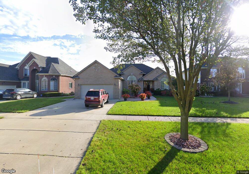
56860 Saint Andrews Dr Macomb, MI 48042
Estimated Value: $424,888 - $538,000
--
Bed
2
Baths
2,018
Sq Ft
$235/Sq Ft
Est. Value
About This Home
This home is located at 56860 Saint Andrews Dr, Macomb, MI 48042 and is currently estimated at $473,222, approximately $234 per square foot. 56860 Saint Andrews Dr is a home located in Macomb County with nearby schools including Beacon Tree Elementary School, Shelby Junior High School, and Eisenhower High School.
Ownership History
Date
Name
Owned For
Owner Type
Purchase Details
Closed on
Oct 10, 2001
Sold by
26 Romeo Plank Llc
Bought by
Matoski Pavle
Current Estimated Value
Home Financials for this Owner
Home Financials are based on the most recent Mortgage that was taken out on this home.
Original Mortgage
$50,000
Interest Rate
7.24%
Mortgage Type
Purchase Money Mortgage
Purchase Details
Closed on
Mar 9, 2000
Sold by
Twenty Six Romeo Plank L
Bought by
Mark Christian Inc
Create a Home Valuation Report for This Property
The Home Valuation Report is an in-depth analysis detailing your home's value as well as a comparison with similar homes in the area
Home Values in the Area
Average Home Value in this Area
Purchase History
| Date | Buyer | Sale Price | Title Company |
|---|---|---|---|
| Matoski Pavle | $235,250 | -- | |
| Mark Christian Inc | $53,000 | -- |
Source: Public Records
Mortgage History
| Date | Status | Borrower | Loan Amount |
|---|---|---|---|
| Previous Owner | Matoski Pavle | $50,000 |
Source: Public Records
Tax History Compared to Growth
Tax History
| Year | Tax Paid | Tax Assessment Tax Assessment Total Assessment is a certain percentage of the fair market value that is determined by local assessors to be the total taxable value of land and additions on the property. | Land | Improvement |
|---|---|---|---|---|
| 2025 | $3,862 | $211,200 | $0 | $0 |
| 2024 | $2,487 | $198,400 | $0 | $0 |
| 2023 | $2,356 | $181,800 | $0 | $0 |
| 2022 | $3,499 | $166,900 | $0 | $0 |
| 2021 | $3,405 | $158,800 | $0 | $0 |
| 2020 | $2,169 | $157,000 | $0 | $0 |
| 2019 | $3,130 | $147,900 | $0 | $0 |
| 2018 | $3,097 | $140,800 | $0 | $0 |
| 2017 | $3,046 | $135,630 | $34,500 | $101,130 |
| 2016 | $2,871 | $135,630 | $0 | $0 |
| 2015 | $2,837 | $127,330 | $0 | $0 |
| 2014 | $2,837 | $112,240 | $23,500 | $88,740 |
| 2011 | $942 | $106,050 | $20,500 | $85,550 |
Source: Public Records
Map
Nearby Homes
- 56772 Cardinal Dr
- 56782 Inland Ct
- 17952 Marsal Dr
- 56700 Honey Ct
- 56501 Winding Creek Dr
- 17102 Chianti Ct
- 16895 Orchard Gardens Dr
- 56703 Cortona Dr
- 56098 Walker Ct
- 16754 Shinnecock Dr
- 56895 Topaz Dr
- 17541 Stallman Dr Unit 89
- 17829 Stallman Dr
- 17413 Stallman Dr Unit 85
- 17381 Stallman Dr
- 17349 Stallman Dr
- 17221 Stallman Dr
- 55841 Jones Dr Unit 114
- 17524 Stallman Dr
- 17189 Stallman Dr
- 56888 Saint Andrews Dr
- 56832 Saint Andrews Dr
- 56804 Saint Andrews Dr
- 56916 Saint Andrews Dr
- 56841 Cardinal Dr
- 56813 Cardinal Dr
- 56776 Saint Andrews Dr
- 56785 Cardinal Dr
- 56897 Cardinal Dr
- 17600 26 Mile Rd Unit Bldg-Unit
- 17600 26 Mile Rd
- 56748 Saint Andrews Dr
- 56729 Cardinal Dr
- 17670 26 Mile Rd
- 56720 Saint Andrews Dr
- 56800 Cardinal Dr
- 56828 Cardinal Dr
- 17620 26 Mile Rd
- 56701 Cardinal Dr
- 17761 Marsal Dr