Estimated Value: $429,000 - $449,000
--
Bed
--
Bath
2,624
Sq Ft
$168/Sq Ft
Est. Value
About This Home
This home is located at 56864 Deno Rd, Colon, MI 49040 and is currently estimated at $439,594, approximately $167 per square foot. 56864 Deno Rd is a home located in St. Joseph County.
Ownership History
Date
Name
Owned For
Owner Type
Purchase Details
Closed on
Apr 9, 2025
Sold by
Yoder Lamar and Yoder Mary Fern
Bought by
Yoder Laverne Jay and Yoder Clara Fern
Current Estimated Value
Purchase Details
Closed on
Aug 16, 2023
Sold by
Yoder Lamar and Yoder Mary Fern
Bought by
Yoder Lamar and Yoder Mary Fern
Purchase Details
Closed on
Feb 2, 2018
Sold by
Hershberger Jonas W and Hershberger Susan K
Bought by
Yoder Lamar and Yoder Mary Fern
Home Financials for this Owner
Home Financials are based on the most recent Mortgage that was taken out on this home.
Original Mortgage
$173,600
Interest Rate
4.09%
Mortgage Type
Adjustable Rate Mortgage/ARM
Purchase Details
Closed on
Mar 16, 2006
Sold by
Revocable Trust Agreement Of Mary E Schw
Bought by
Hershberger Jonas W and Hershberger Susan K
Home Financials for this Owner
Home Financials are based on the most recent Mortgage that was taken out on this home.
Original Mortgage
$49,000
Interest Rate
7%
Mortgage Type
Fannie Mae Freddie Mac
Create a Home Valuation Report for This Property
The Home Valuation Report is an in-depth analysis detailing your home's value as well as a comparison with similar homes in the area
Home Values in the Area
Average Home Value in this Area
Purchase History
| Date | Buyer | Sale Price | Title Company |
|---|---|---|---|
| Yoder Laverne Jay | -- | Patrick Abstract & Title | |
| Yoder Lamar | -- | Patrick Abstract & Title | |
| Yoder Lamar | $217,000 | Patrick Abstract & Title Off | |
| Hershberger Jonas W | $92,166 | None Available |
Source: Public Records
Mortgage History
| Date | Status | Borrower | Loan Amount |
|---|---|---|---|
| Previous Owner | Yoder Lamar | $173,600 | |
| Previous Owner | Hershberger Jonas W | $49,000 |
Source: Public Records
Tax History Compared to Growth
Tax History
| Year | Tax Paid | Tax Assessment Tax Assessment Total Assessment is a certain percentage of the fair market value that is determined by local assessors to be the total taxable value of land and additions on the property. | Land | Improvement |
|---|---|---|---|---|
| 2025 | $3,898 | $216,800 | $61,400 | $155,400 |
| 2024 | $1,398 | $203,000 | $58,400 | $144,600 |
| 2023 | $5,073 | $194,800 | $54,500 | $140,300 |
| 2022 | $0 | $160,600 | $52,200 | $108,400 |
| 2021 | $0 | $159,200 | $55,300 | $103,900 |
| 2020 | $0 | $159,000 | $51,500 | $107,500 |
| 2019 | $1,184 | $140,200 | $50,300 | $89,900 |
| 2018 | $3,191 | $134,000 | $51,500 | $82,500 |
| 2017 | $2,941 | $131,000 | $131,000 | $0 |
| 2016 | -- | $125,200 | $125,200 | $0 |
| 2015 | -- | $120,500 | $0 | $0 |
| 2014 | -- | $122,600 | $122,600 | $0 |
| 2012 | -- | $100,800 | $100,800 | $0 |
Source: Public Records
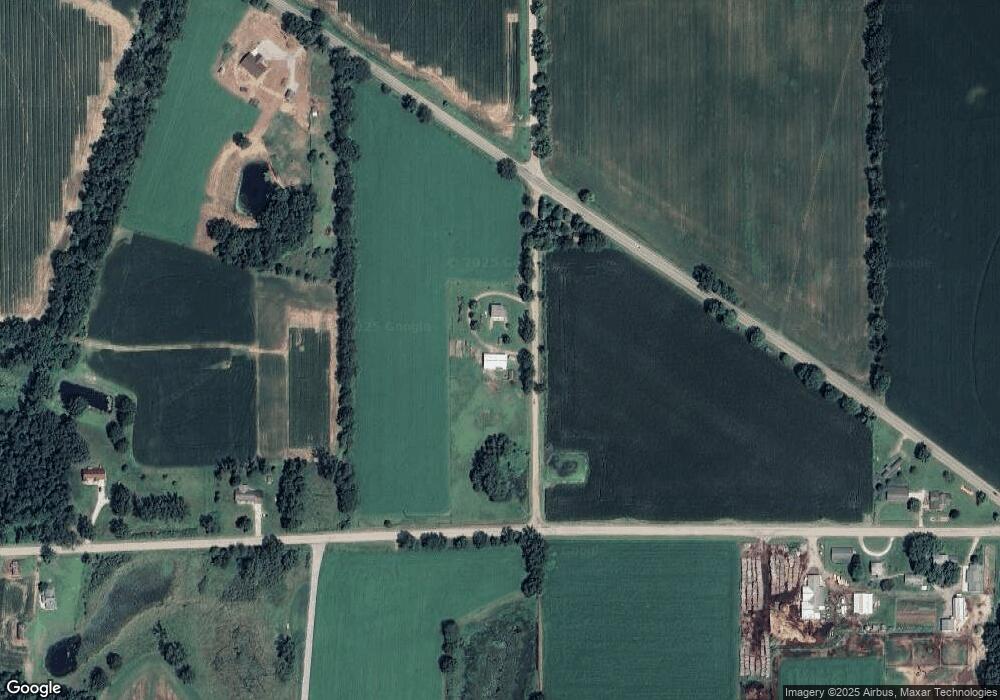
Map
Nearby Homes
- 30725 Orla Engle Rd
- 31688 W Colon Rd
- 0 S Farrand Unit 25051538
- 210 E South St
- 906 Bowman St
- 448 Long Lake Rd
- 0 N Burr Oak Rd
- 457 S Burr Oak Rd
- 30591 Coohon Rd
- 58954 Lakeshore Dr
- 59010 Lakeshore Dr
- 32205 James St
- 30315 Jacksonburg Rd
- 31908 Decker Rd
- 59178 Nora Dr
- 30879 Michigan 60
- 774 Ralston Rd
- 60651 Bert Rd
- 316 Kane Rd
- 27869 Michigan 60
- 31197 Orla Engle Rd
- 31051 W Colon Rd
- 56831 Deno Rd
- 31228 Orla Engle Rd
- 30091 Orla Engle Rd
- 0 Orla Engle Rd
- 31263 W Colon Rd
- 30890 Orla Engle Rd
- 31341 W Colon Rd
- 30750 Orla Engle Rd
- 31465 W Colon Rd
- 57175 Farrand Rd
- 57175 Farrand Rd
- 57175 Farrand Rd
- 57135 Farrand Rd
- 57077 Farrand Rd
- 31611 Colon Rd
- 56781 Farrand Rd
- 56861 Farrand Rd
- 56740 Farrand Rd