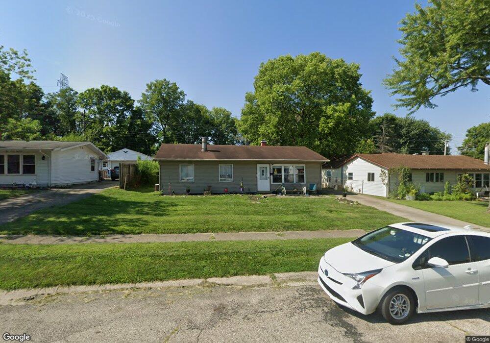
5688 Sharp Rd Dayton, OH 45432
Estimated Value: $194,900 - $217,000
3
Beds
2
Baths
1,190
Sq Ft
$171/Sq Ft
Est. Value
About This Home
This home is located at 5688 Sharp Rd, Dayton, OH 45432 and is currently estimated at $203,225, approximately $170 per square foot. 5688 Sharp Rd is a home located in Montgomery County with nearby schools including Parkwood Elementary School, Herman K Ankeney Middle School, and Beavercreek High School.
Ownership History
Date
Name
Owned For
Owner Type
Purchase Details
Closed on
Nov 5, 2004
Sold by
Carpenter Donita M
Bought by
Stevenson Charles M
Current Estimated Value
Purchase Details
Closed on
Sep 4, 2001
Sold by
Pack Beatrice M
Bought by
Stevenson Charles M and Carpenter Donita M
Home Financials for this Owner
Home Financials are based on the most recent Mortgage that was taken out on this home.
Original Mortgage
$67,467
Interest Rate
7.03%
Mortgage Type
FHA
Create a Home Valuation Report for This Property
The Home Valuation Report is an in-depth analysis detailing your home's value as well as a comparison with similar homes in the area
Home Values in the Area
Average Home Value in this Area
Purchase History
| Date | Buyer | Sale Price | Title Company |
|---|---|---|---|
| Stevenson Charles M | -- | None Available | |
| Stevenson Charles M | $68,000 | -- |
Source: Public Records
Mortgage History
| Date | Status | Borrower | Loan Amount |
|---|---|---|---|
| Previous Owner | Stevenson Charles M | $67,467 |
Source: Public Records
Tax History
| Year | Tax Paid | Tax Assessment Tax Assessment Total Assessment is a certain percentage of the fair market value that is determined by local assessors to be the total taxable value of land and additions on the property. | Land | Improvement |
|---|---|---|---|---|
| 2025 | $2,902 | $47,260 | $9,640 | $37,620 |
| 2024 | $2,814 | $47,260 | $9,640 | $37,620 |
| 2023 | $2,814 | $47,260 | $9,640 | $37,620 |
| 2022 | $2,153 | $30,890 | $6,300 | $24,590 |
| 2021 | $2,163 | $30,890 | $6,300 | $24,590 |
| 2020 | $2,170 | $30,890 | $6,300 | $24,590 |
| 2019 | $2,265 | $29,370 | $6,300 | $23,070 |
| 2018 | $2,103 | $29,370 | $6,300 | $23,070 |
| 2017 | $2,063 | $29,370 | $6,300 | $23,070 |
| 2016 | $2,048 | $27,960 | $6,300 | $21,660 |
| 2015 | $2,203 | $27,960 | $6,300 | $21,660 |
| 2014 | $2,203 | $27,960 | $6,300 | $21,660 |
| 2012 | -- | $32,130 | $7,000 | $25,130 |
Source: Public Records
Map
Nearby Homes
- 1209 Ringwalt Dr
- 1176 Irmal Dr
- 1163 Irmal Dr
- 5664 Mayville Dr
- 5713 Mayville Dr
- 1260 Jeanette Dr
- Lot 10 Linden Ave
- Lot 11 Linden Ave
- 1307 Cobblestone St
- 1301 Ames Ave
- 1841 Wilene Dr
- 1726 Rausch Ave
- 992 Spinning Rd
- 1929 Willowgreen Dr
- 4328 Richland Ave
- 1585 Larchwood Dr
- 852 Crestmont Dr
- 4301 Richland Ave
- 1568 Garwood Dr
- 844 Cascade Dr
Your Personal Tour Guide
Ask me questions while you tour the home.