5689 Union Pointe Dr Union City, GA 30291
Estimated Value: $237,479 - $252,000
3
Beds
2
Baths
1,540
Sq Ft
$159/Sq Ft
Est. Value
About This Home
This home is located at 5689 Union Pointe Dr, Union City, GA 30291 and is currently estimated at $245,370, approximately $159 per square foot. 5689 Union Pointe Dr is a home with nearby schools including Campbell Elementary School, Renaissance Middle School, and Creekside High School.
Ownership History
Date
Name
Owned For
Owner Type
Purchase Details
Closed on
Oct 22, 2020
Sold by
Dr Horton Inc
Bought by
Brown Brice Kevin
Current Estimated Value
Home Financials for this Owner
Home Financials are based on the most recent Mortgage that was taken out on this home.
Original Mortgage
$172,490
Outstanding Balance
$152,519
Interest Rate
2.9%
Mortgage Type
VA
Estimated Equity
$92,851
Purchase Details
Closed on
Jun 18, 2020
Sold by
Stone Monument Holdings Llc
Bought by
D R Horton Inc
Purchase Details
Closed on
Oct 1, 2019
Sold by
Cygnus Ga Llc
Bought by
Stone Monument Holdings Llc
Create a Home Valuation Report for This Property
The Home Valuation Report is an in-depth analysis detailing your home's value as well as a comparison with similar homes in the area
Home Values in the Area
Average Home Value in this Area
Purchase History
| Date | Buyer | Sale Price | Title Company |
|---|---|---|---|
| Brown Brice Kevin | $172,490 | -- | |
| D R Horton Inc | $203,670 | -- | |
| Stone Monument Holdings Llc | -- | -- |
Source: Public Records
Mortgage History
| Date | Status | Borrower | Loan Amount |
|---|---|---|---|
| Open | Brown Brice Kevin | $172,490 |
Source: Public Records
Tax History Compared to Growth
Tax History
| Year | Tax Paid | Tax Assessment Tax Assessment Total Assessment is a certain percentage of the fair market value that is determined by local assessors to be the total taxable value of land and additions on the property. | Land | Improvement |
|---|---|---|---|---|
| 2025 | -- | $99,640 | $15,040 | $84,600 |
| 2023 | $2,719 | $96,320 | $20,200 | $76,120 |
| 2022 | $2,046 | $72,480 | $11,360 | $61,120 |
| 2021 | $180 | $64,440 | $8,480 | $55,960 |
| 2020 | $177 | $6,360 | $6,360 | $0 |
| 2019 | $264 | $3,600 | $3,600 | $0 |
Source: Public Records
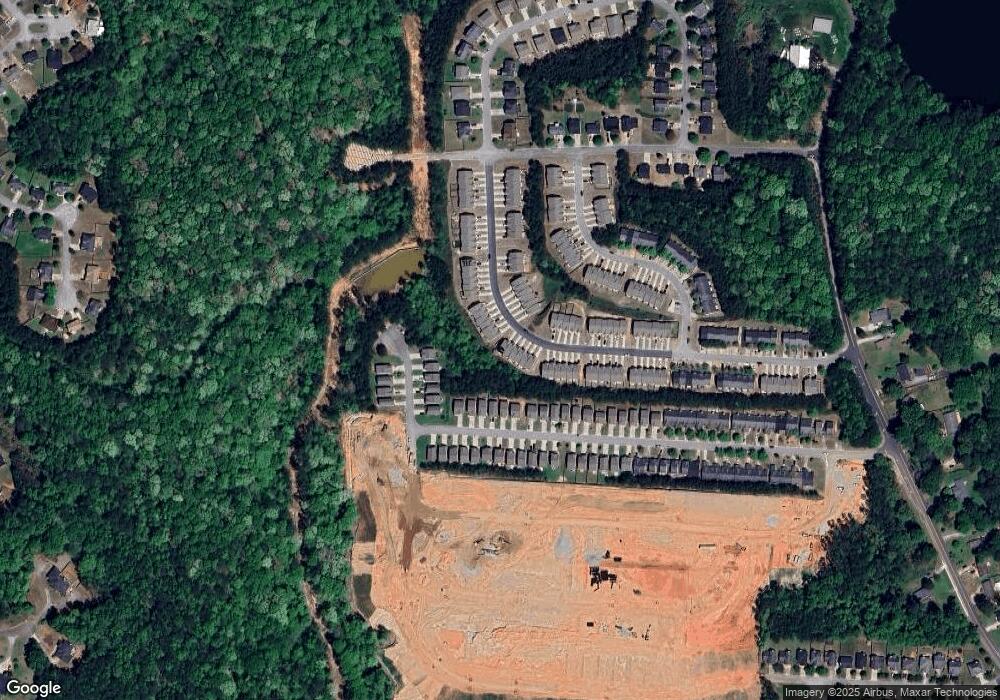
Map
Nearby Homes
- 5656 Union Pointe Dr
- 5642 Union Pointe Dr
- 4439 Manor Hill Dr Unit 11
- 4432 Manor Hill Dr
- 4436 Manor Hill Dr
- ROBIE Plan at Pointe Park
- ELSTON Plan at Pointe Park
- BELHAVEN Plan at Pointe Park
- Sudbury Plan at Pointe Park
- AISLE Plan at Pointe Park
- 4458 Manor Hill Dr
- 0 Lower Dixie Lake Rd Unit 22475153
- 0 Lower Dixie Lake Rd Unit 7515143
- 6211 Ward Rd
- 0 Ward Rd Unit 20102427
- 0 Ward Rd Unit 7174145
- 5910 Rock Rd
- 4497 Ravenwood Dr
- 5856 Rock Rd
- 5947 Rock Rd
- 5687 Union Pointe Dr
- 5691 Union Pointe Dr
- 5683 Union Pointe Dr
- 5693 Union Pointe Dr
- 5685 Union Pointe Dr
- 5695 Union Pointe Dr
- 5697 Union Pointe Dr
- 5679 Union Pointe Dr
- 5681 Union Pointe Dr
- 5699 Union Pointe Dr
- 5666 Union Pointe Dr
- 5677 Union Pointe Dr
- 5701 Union Pointe Dr
- 5675 Union Pointe Dr
- 5668 Union Pointe Dr
- 5670 Union Pointe Dr
- 5703 Union Pointe Dr
- 5662 Union Pointe Dr
- 5674 Union Pointe Dr
- 5673 Union Pointe Dr