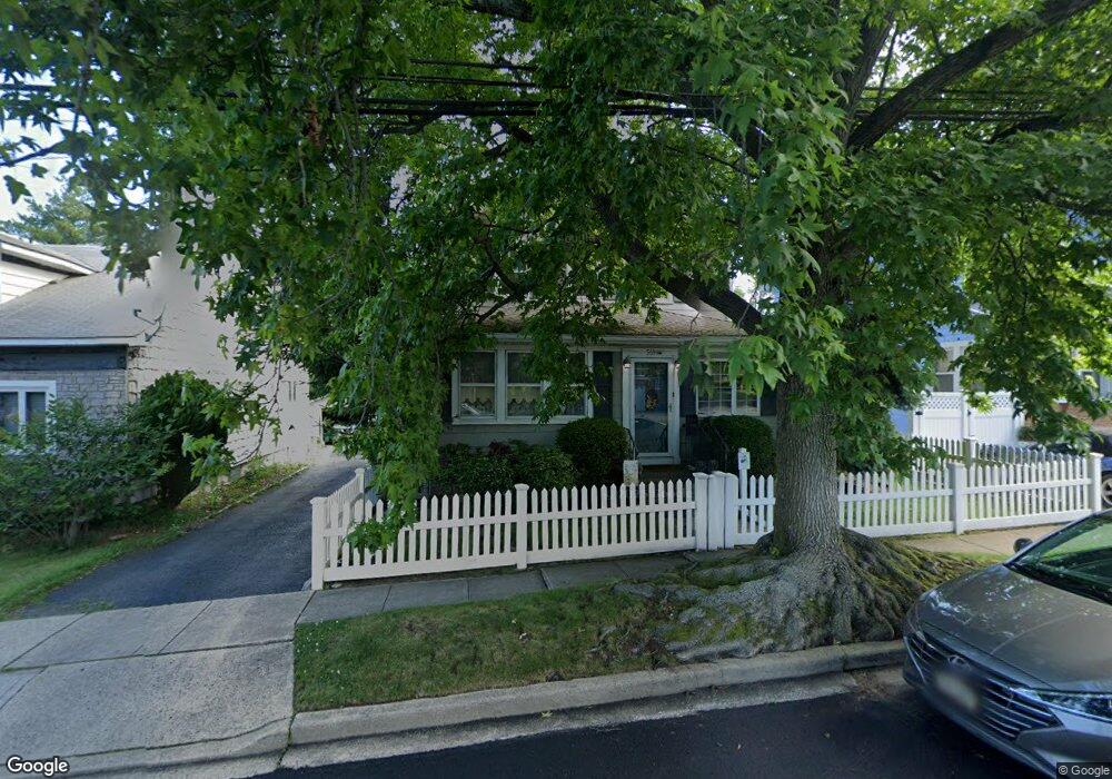
569 Ashland Ave North Baldwin, NY 11510
Estimated Value: $559,000 - $672,710
3
Beds
2
Baths
1,424
Sq Ft
$432/Sq Ft
Est. Value
About This Home
This home is located at 569 Ashland Ave, North Baldwin, NY 11510 and is currently estimated at $615,855, approximately $432 per square foot. 569 Ashland Ave is a home located in Nassau County with nearby schools including Baldwin Senior High School.
Ownership History
Date
Name
Owned For
Owner Type
Purchase Details
Closed on
Aug 6, 2022
Sold by
Robinson Kenneth
Bought by
Robinson Kenneth and Jao Archimedes Budlong
Current Estimated Value
Purchase Details
Closed on
Aug 28, 2013
Sold by
Miessmer William and Miessmer Patricia
Bought by
Robinson Kenneth
Home Financials for this Owner
Home Financials are based on the most recent Mortgage that was taken out on this home.
Original Mortgage
$314,204
Outstanding Balance
$234,191
Interest Rate
4.37%
Mortgage Type
FHA
Estimated Equity
$381,664
Create a Home Valuation Report for This Property
The Home Valuation Report is an in-depth analysis detailing your home's value as well as a comparison with similar homes in the area
Home Values in the Area
Average Home Value in this Area
Purchase History
| Date | Buyer | Sale Price | Title Company |
|---|---|---|---|
| Robinson Kenneth | -- | None Available | |
| Robinson Kenneth | $320,000 | -- |
Source: Public Records
Mortgage History
| Date | Status | Borrower | Loan Amount |
|---|---|---|---|
| Open | Robinson Kenneth | $314,204 |
Source: Public Records
Tax History Compared to Growth
Tax History
| Year | Tax Paid | Tax Assessment Tax Assessment Total Assessment is a certain percentage of the fair market value that is determined by local assessors to be the total taxable value of land and additions on the property. | Land | Improvement |
|---|---|---|---|---|
| 2025 | $13,447 | $436 | $132 | $304 |
| 2024 | $3,431 | $436 | $132 | $304 |
| 2023 | $12,805 | $436 | $132 | $304 |
| 2022 | $12,805 | $436 | $132 | $304 |
| 2021 | $17,615 | $423 | $128 | $295 |
| 2020 | $12,896 | $644 | $500 | $144 |
| 2019 | $12,541 | $644 | $500 | $144 |
| 2018 | $11,893 | $644 | $0 | $0 |
| 2017 | $7,752 | $644 | $500 | $144 |
| 2016 | $10,855 | $644 | $500 | $144 |
| 2015 | $2,946 | $644 | $500 | $144 |
| 2014 | $2,946 | $644 | $500 | $144 |
| 2013 | $2,758 | $644 | $500 | $144 |
Source: Public Records
Map
Nearby Homes
- 578 Seaman Ave
- 569 Seaman Ave
- 1905 Bryant Place
- 1900 Carleton Place
- 1887 Bryant Place
- 1874 Rockville Dr
- 669 Seaman Ave
- 2 Florence St
- 441 New York Ave
- 19 Meadow Ln
- 1869 Harte St
- 610 Emerson Ave
- 549 Emerson Ave
- 495 Emerson Ave
- 2 Twain St
- 566 Stowe Ave
- 0 Edna Ct
- 134 Fonda Rd
- 639 Lakeview Ave
- 2 Maple Grove Ct
- 567 Ashland Ave
- 573 Ashland Ave
- 577 Ashland Ave
- 566 Portland Ave
- 564 Portland Ave
- 570 Portland Ave
- 562 Portland Ave
- 555 Ashland Ave
- 576 Portland Ave
- 583 Ashland Ave
- 564 Ashland Ave
- 556 Portland Ave
- 582 Portland Ave
- 574 Ashland Ave
- 560 Ashland Ave
- 543 Ashland Ave
- 591 Ashland Ave
- 554 Ashland Ave
- 576 Ashland Ave
- 550 Ashland Ave