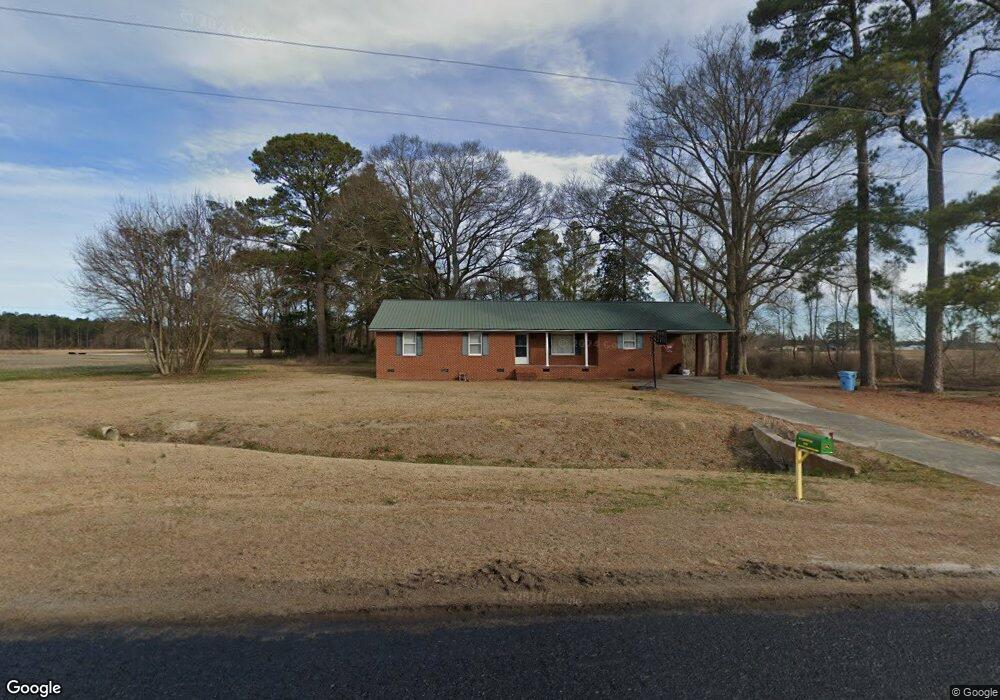
569 Barbee Rd Richlands, NC 28574
Estimated Value: $240,000 - $322,000
3
Beds
3
Baths
1,901
Sq Ft
$152/Sq Ft
Est. Value
About This Home
This home is located at 569 Barbee Rd, Richlands, NC 28574 and is currently estimated at $288,874, approximately $151 per square foot. 569 Barbee Rd is a home located in Onslow County with nearby schools including Richlands Elementary School, Trexler Middle School, and Richlands High School.
Ownership History
Date
Name
Owned For
Owner Type
Purchase Details
Closed on
Apr 14, 2020
Sold by
Howard Shelby B
Bought by
Cannon Robert Wayne and Cannon Rebecca Jo
Current Estimated Value
Home Financials for this Owner
Home Financials are based on the most recent Mortgage that was taken out on this home.
Original Mortgage
$1,413,257
Outstanding Balance
$1,251,974
Interest Rate
3.4%
Mortgage Type
Unknown
Estimated Equity
-$963,100
Purchase Details
Closed on
Jul 8, 2015
Sold by
Howard Shelby B
Bought by
Howard Shelby B and Shelby B Howard Living Trust
Create a Home Valuation Report for This Property
The Home Valuation Report is an in-depth analysis detailing your home's value as well as a comparison with similar homes in the area
Home Values in the Area
Average Home Value in this Area
Purchase History
| Date | Buyer | Sale Price | Title Company |
|---|---|---|---|
| Cannon Robert Wayne | $150,000 | None Available | |
| Howard Shelby B | -- | Attorney |
Source: Public Records
Mortgage History
| Date | Status | Borrower | Loan Amount |
|---|---|---|---|
| Open | Cannon Robert Wayne | $1,413,257 |
Source: Public Records
Tax History
| Year | Tax Paid | Tax Assessment Tax Assessment Total Assessment is a certain percentage of the fair market value that is determined by local assessors to be the total taxable value of land and additions on the property. | Land | Improvement |
|---|---|---|---|---|
| 2025 | $1,181 | $180,294 | $34,350 | $145,944 |
| 2024 | $1,181 | $180,294 | $34,350 | $145,944 |
| 2023 | $1,181 | $180,294 | $34,350 | $145,944 |
| 2022 | $1,181 | $180,294 | $34,350 | $145,944 |
| 2021 | $1,017 | $144,270 | $26,350 | $117,920 |
| 2020 | $1,017 | $144,270 | $26,350 | $117,920 |
| 2019 | $1,017 | $144,270 | $26,350 | $117,920 |
| 2018 | $1,017 | $144,270 | $26,350 | $117,920 |
| 2017 | $972 | $143,980 | $26,350 | $117,630 |
| 2016 | $972 | $143,980 | $0 | $0 |
| 2015 | $972 | $143,980 | $0 | $0 |
| 2014 | $972 | $143,980 | $0 | $0 |
Source: Public Records
Map
Nearby Homes
- Tract 1 Barbee Rd
- 426 Driftwood Dr Unit 11
- 420 Driftwood Dr Unit 8
- 444 Driftwood Dr Unit 19
- 440 Driftwood Dr
- 440 Driftwood Dr Unit 17
- 436 Driftwood Dr
- 438 Driftwood Dr Unit 16
- 438 Driftwood Dr
- 430 Driftwood Dr Unit Lot 13
- 428 Driftwood Dr Unit 12
- 428 Driftwood Dr
- 446 Driftwood Dr Unit 20
- 424 Driftwood Dr Unit 10
- 422 Driftwood Dr Unit 9
- 422 Driftwood Dr
- 414 Driftwood Dr
- 414 Driftwood Dr Unit 6
- 412 Driftwood Dr Unit Lot 5
- 410 Driftwood Dr Unit Lot 4
- 588 Barbee Rd
- 521 Barbee Rd
- 647 Barbee Rd
- 987 Huffmantown Rd
- 1021 Huffmantown Rd
- 632 Barbee Rd
- 1000 Huffmantown Rd
- 941 Huffmantown Rd
- 1039 Huffmantown Rd
- 1020 Huffmantown Rd
- 1032 Huffmantown Rd
- 1044 Huffmantown Rd
- 475 Barbee Rd
- 460 Barbee Rd
- 1068 Huffmantown Rd
- 515 Barbee Rd
- 901 Huffmantown Rd
- 517 Barbee Rd
- 895 Huffmantown Rd
- 1076 Huffmantown Rd
Your Personal Tour Guide
Ask me questions while you tour the home.