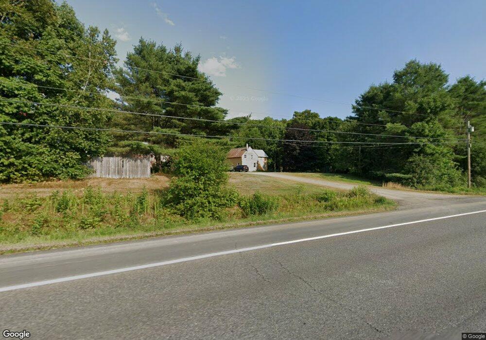
569 Bingham Rd Bingham, ME 04920
Estimated Value: $289,000 - $362,000
Studio
--
Bath
--
Sq Ft
2,409,304
Sq Ft Lot
About This Home
This home is located at 569 Bingham Rd, Bingham, ME 04920 and is currently estimated at $321,866. 569 Bingham Rd is a home with nearby schools including Moscow Elementary School, Quimby Middle School, and Upper Kennebec Valley Middle / Senior High School.
Ownership History
Date
Name
Owned For
Owner Type
Purchase Details
Closed on
Oct 23, 2012
Sold by
Miller Eric G and Miller Eric
Bought by
Miller Eric G and Miller Cynthia A
Current Estimated Value
Home Financials for this Owner
Home Financials are based on the most recent Mortgage that was taken out on this home.
Original Mortgage
$82,000
Interest Rate
3.57%
Mortgage Type
Commercial
Purchase Details
Closed on
Jan 3, 2005
Sold by
Miller Merl G and Miller Anne G
Bought by
Miller Eric
Create a Home Valuation Report for This Property
The Home Valuation Report is an in-depth analysis detailing your home's value as well as a comparison with similar homes in the area
Purchase History
| Date | Buyer | Sale Price | Title Company |
|---|---|---|---|
| Miller Eric G | -- | -- | |
| Miller Eric | -- | -- |
Source: Public Records
Mortgage History
| Date | Status | Borrower | Loan Amount |
|---|---|---|---|
| Closed | Miller Eric G | $82,000 |
Source: Public Records
Tax History
| Year | Tax Paid | Tax Assessment Tax Assessment Total Assessment is a certain percentage of the fair market value that is determined by local assessors to be the total taxable value of land and additions on the property. | Land | Improvement |
|---|---|---|---|---|
| 2025 | $3,247 | $295,210 | $74,590 | $220,620 |
| 2024 | $3,129 | $295,210 | $74,590 | $220,620 |
| 2021 | $2,756 | $158,400 | $65,860 | $92,540 |
| 2020 | $2,757 | $159,340 | $66,800 | $92,540 |
| 2019 | $2,597 | $159,340 | $66,800 | $92,540 |
| 2018 | $2,597 | $159,340 | $66,800 | $92,540 |
| 2017 | $2,549 | $159,340 | $66,800 | $92,540 |
| 2016 | $2,788 | $159,340 | $66,800 | $92,540 |
| 2015 | $3,282 | $159,340 | $66,800 | $92,540 |
| 2014 | $3,346 | $159,340 | $66,800 | $92,540 |
| 2013 | -- | $159,340 | $66,800 | $92,540 |
Source: Public Records
Map
Nearby Homes
- 256 Jackson Pond Rd
- 2416 Kennebec River Rd
- 00 Owens Rd
- 203 Main St
- 1469 Kennebec River Rd
- 25 Old Bingham Rd
- 7 James St
- 262 Main St
- 317 Main St
- 44 Murray St
- 000 Pleasant Ridge Rd Unit Parcel C
- 18 Preble St
- 345 Main St
- 9 Collins St
- 21 Bluff Rd
- M2L56,57 Bert Berry Rd
- 59 Drury Rd
- Lot 46.2 Ridge Rd
- 2 Durgin St
- 012-013-01 Bert Berry Rd
- 581 Bingham Rd
- 605 Bingham Rd
- 617 Bingham Rd
- 617 Bingham Rd
- 616 Bingham Rd
- 552 Bingham Rd
- 632 Bingham Rd
- 15 Robinson Ln
- 9 Robinson Ln
- 000 Kennebec River Rd
- 685 Bingham Rd
- 715 Bingham Rd
- 722 Bingham Rd
- 736 Bingham Rd
- 3 James St
- 748 Bingham Rd
- 000 Frank Savage Rd
- 0 Frank Savage Rd
- 0 Route 201 & Frank Savage Rd Unit 995095
- 763 Bingham Rd
Your Personal Tour Guide
Ask me questions while you tour the home.