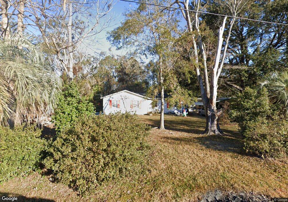
569 Exley Loop Rincon, GA 31326
Estimated Value: $214,158 - $330,000
Studio
1
Bath
1,524
Sq Ft
$179/Sq Ft
Est. Value
About This Home
This home is located at 569 Exley Loop, Rincon, GA 31326 and is currently estimated at $273,540, approximately $179 per square foot. 569 Exley Loop is a home located in Effingham County with nearby schools including South Effingham Elementary School, South Effingham Middle School, and South Effingham High School.
Ownership History
Date
Name
Owned For
Owner Type
Purchase Details
Closed on
Aug 7, 2015
Sold by
Winnai Frieda Spikes
Bought by
Winnai Frieda Spikes and Winnai Marc F
Current Estimated Value
Purchase Details
Closed on
Jul 10, 2014
Sold by
Spikes Robin Denise
Bought by
Irrevocab Spikes William Roger and Irrevocab Spikes Geneva Bragg
Purchase Details
Closed on
Aug 9, 2013
Sold by
Spikes William Roger
Bought by
Spikes Robin Denise
Purchase Details
Closed on
Mar 16, 2007
Sold by
Spikes Wade Ross
Bought by
Sikes Geneva B
Purchase Details
Closed on
Jan 24, 2007
Sold by
Sikes Geneva B
Bought by
Spikes Wade Ross
Purchase Details
Closed on
Dec 8, 2006
Sold by
Spikes Geneva B
Bought by
Spikes Geneva B
Create a Home Valuation Report for This Property
The Home Valuation Report is an in-depth analysis detailing your home's value as well as a comparison with similar homes in the area
Home Values in the Area
Average Home Value in this Area
Purchase History
| Date | Buyer | Sale Price | Title Company |
|---|---|---|---|
| Winnai Frieda Spikes | -- | -- | |
| Winnai Frieda Spikes | -- | -- | |
| Williams Brandi | -- | -- | |
| Irrevocab Spikes William Roger | -- | -- | |
| Spikes Robin Denise | -- | -- | |
| Sikes Geneva B | -- | -- | |
| Spikes Wade Ross | -- | -- | |
| Spikes Geneva B | -- | -- |
Source: Public Records
Tax History
| Year | Tax Paid | Tax Assessment Tax Assessment Total Assessment is a certain percentage of the fair market value that is determined by local assessors to be the total taxable value of land and additions on the property. | Land | Improvement |
|---|---|---|---|---|
| 2025 | $2,702 | $74,190 | $32,974 | $41,216 |
| 2024 | $2,702 | $62,500 | $26,574 | $35,926 |
| 2023 | $1,948 | $58,948 | $26,574 | $32,374 |
| 2022 | $1,780 | $49,474 | $17,100 | $32,374 |
| 2021 | $1,622 | $44,246 | $17,100 | $27,146 |
| 2020 | $1,619 | $45,024 | $17,100 | $27,924 |
| 2019 | $1,625 | $45,024 | $17,100 | $27,924 |
| 2018 | $1,583 | $43,192 | $17,100 | $26,092 |
| 2017 | $1,591 | $43,192 | $17,100 | $26,092 |
| 2016 | $1,614 | $46,249 | $17,100 | $29,149 |
| 2015 | -- | $45,499 | $20,349 | $25,150 |
| 2014 | -- | $45,499 | $20,349 | $25,150 |
| 2013 | -- | $45,498 | $20,348 | $25,150 |
Source: Public Records
Map
Nearby Homes
- 223 Melrose Place
- 127 Crystal Dr
- 124 Oak St
- 5033 Mccall Rd
- 121 Crystal Dr
- 127 John Glenn Dr
- 100 Usher Place
- 125 Westwood Dr
- 204 Whitehall Ave
- 107 Charlton Rd
- 121 Westwood Dr
- 5475 Mccall Rd
- 107 Melrose Place
- 105 Melrose Place
- 110 Katie Dr
- 0 Huger St Unit SA338762
- 1 Hampton Ct
- 144 Lewis Dr
- 104 Frontage Rd
- 100 Cypress Dr
Your Personal Tour Guide
Ask me questions while you tour the home.