569 Fools Gold Loop Sandpoint, ID 83864
Estimated Value: $473,000 - $639,000
2
Beds
2
Baths
1,240
Sq Ft
$450/Sq Ft
Est. Value
About This Home
This home is located at 569 Fools Gold Loop, Sandpoint, ID 83864 and is currently estimated at $557,488, approximately $449 per square foot. 569 Fools Gold Loop is a home located in Bonner County with nearby schools including Northside Elementary School, Sandpoint Middle School, and Sandpoint High School.
Ownership History
Date
Name
Owned For
Owner Type
Purchase Details
Closed on
Jul 13, 2007
Sold by
Brownhill Daniel J and Brownhill Laure J
Bought by
Aslett Dennis and Aslett Judy
Current Estimated Value
Home Financials for this Owner
Home Financials are based on the most recent Mortgage that was taken out on this home.
Original Mortgage
$72,000
Interest Rate
6.51%
Mortgage Type
New Conventional
Create a Home Valuation Report for This Property
The Home Valuation Report is an in-depth analysis detailing your home's value as well as a comparison with similar homes in the area
Purchase History
| Date | Buyer | Sale Price | Title Company |
|---|---|---|---|
| Aslett Dennis | -- | -- |
Source: Public Records
Mortgage History
| Date | Status | Borrower | Loan Amount |
|---|---|---|---|
| Closed | Aslett Dennis | $72,000 |
Source: Public Records
Tax History
| Year | Tax Paid | Tax Assessment Tax Assessment Total Assessment is a certain percentage of the fair market value that is determined by local assessors to be the total taxable value of land and additions on the property. | Land | Improvement |
|---|---|---|---|---|
| 2025 | $1,244 | $413,494 | $230,549 | $182,945 |
| 2024 | $1,225 | $397,077 | $230,549 | $166,528 |
| 2023 | $1,109 | $373,167 | $198,627 | $174,540 |
| 2022 | $1,499 | $419,172 | $200,797 | $218,375 |
| 2021 | $1,157 | $234,860 | $102,428 | $132,432 |
| 2020 | $937 | $174,854 | $60,389 | $114,465 |
| 2019 | $918 | $171,082 | $60,389 | $110,693 |
| 2018 | $801 | $170,242 | $65,650 | $104,592 |
| 2017 | $801 | $140,660 | $0 | $0 |
| 2016 | $853 | $146,370 | $0 | $0 |
| 2015 | $891 | $152,984 | $0 | $0 |
| 2014 | $814 | $131,659 | $0 | $0 |
Source: Public Records
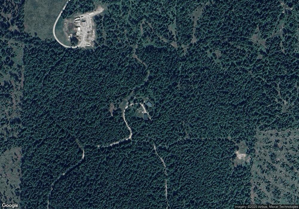
Map
Nearby Homes
- NNA Upper Gold Creek Rd
- 422 Lightning Peak Rd
- 758 Meadowood Rd
- 849 W Gold Creek Ridge Rd
- 0 Upper Gold Cr
- 186 Coyote Trail
- 249 Indigo Sky Rd
- 696 Raven Ridge
- 762 High Rd
- 672 Hopkins Rd
- NKA Flume Creek Rd
- NNA Flume Creek Rd
- NNA Selle Rd ( Tiny Home Only )
- Lot 14 Ridge Way
- 240 Rising Hawk Ridge Rd
- Lot 11 Lower Pack River Rd
- NNA Selkirk Rd
- NNA Marie Victoria Ct
- NNA Marie Victoria Ct Blk 2 Lot 12
- 1521 Selkirk Rd
- 848 Fools Gold Loop
- 1580 Fools Gold Loop
- 173 Sylvester Rd
- 0 Fools Gold Loop
- NKA Fools Gold
- 0 Nna Fools Gold Loop Unit 21-7077
- NKA Upper Gold Creek
- 174 Sylvester Rd
- NNA Fools Gold Loop
- 1577 Rolling Thunder Ridge Rd
- NNA Sylvester Rd
- Lot 2 3 Rising Hawk Ridge
- 1562 Rolling Thunder Ridge Rd
- 1243 Upper Gold Creek Rd
- 1395 Rolling Thunder Ridge Rd
- 2134 Gold Creek Ridge Rd
- 2263 Gold Creek Ridge Rd
- 1413 Upper Gold Creek Rd
- NNA Rolling Thunder Ridge
- 1617 Gold Creek Ridge Rd
Your Personal Tour Guide
Ask me questions while you tour the home.