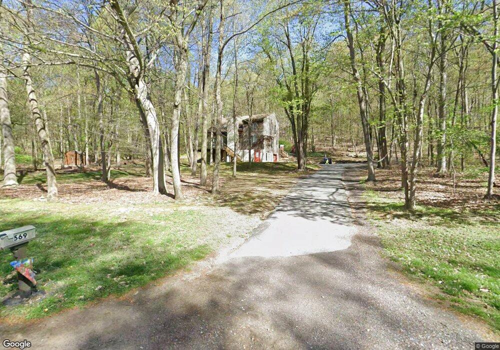
569 Friendship Dr Honey Brook, PA 19344
Estimated Value: $434,645 - $687,000
3
Beds
2
Baths
1,944
Sq Ft
$267/Sq Ft
Est. Value
About This Home
This home is located at 569 Friendship Dr, Honey Brook, PA 19344 and is currently estimated at $519,661, approximately $267 per square foot. 569 Friendship Dr is a home located in Lancaster County with nearby schools including Garden Spot Middle School, Garden Spot Senior High School, and Conestoga Christian School.
Ownership History
Date
Name
Owned For
Owner Type
Purchase Details
Closed on
Jan 19, 2012
Sold by
Richey Judith A
Bought by
Chester County Solid Waste Authority
Current Estimated Value
Purchase Details
Closed on
Mar 31, 2008
Sold by
Richey Philip and Richey Judith A
Bought by
Richey Judith A
Purchase Details
Closed on
Oct 31, 2001
Sold by
Swartz Donald L and Homeside Lending Inc
Bought by
Federal Home Loan Mortgage Corporation
Create a Home Valuation Report for This Property
The Home Valuation Report is an in-depth analysis detailing your home's value as well as a comparison with similar homes in the area
Home Values in the Area
Average Home Value in this Area
Purchase History
| Date | Buyer | Sale Price | Title Company |
|---|---|---|---|
| Chester County Solid Waste Authority | $288,000 | None Available | |
| Richey Judith A | -- | None Available | |
| Federal Home Loan Mortgage Corporation | $4,400 | -- |
Source: Public Records
Tax History Compared to Growth
Tax History
| Year | Tax Paid | Tax Assessment Tax Assessment Total Assessment is a certain percentage of the fair market value that is determined by local assessors to be the total taxable value of land and additions on the property. | Land | Improvement |
|---|---|---|---|---|
| 2025 | $4,021 | $247,900 | $73,200 | $174,700 |
| 2024 | $4,021 | $247,900 | $73,200 | $174,700 |
| 2023 | $3,957 | $247,900 | $73,200 | $174,700 |
| 2022 | $3,910 | $247,900 | $73,200 | $174,700 |
| 2021 | $3,841 | $247,900 | $73,200 | $174,700 |
| 2020 | $3,841 | $247,900 | $73,200 | $174,700 |
| 2019 | $3,795 | $247,900 | $73,200 | $174,700 |
| 2018 | $6,141 | $247,900 | $73,200 | $174,700 |
| 2017 | $3,301 | $175,700 | $54,500 | $121,200 |
| 2016 | $3,301 | $175,700 | $54,500 | $121,200 |
| 2015 | $659 | $175,700 | $54,500 | $121,200 |
| 2014 | $2,533 | $175,700 | $54,500 | $121,200 |
Source: Public Records
Map
Nearby Homes
- 0 Westbrook Dr
- 0 Westbrook Dr
- 0 Westbrook Dr
- 0 Westbrook Dr
- 112 Maxwell Hill Rd
- 110 Petrelia Dr
- 407 Cahill Cir Unit 4
- 2085 Main St
- 1022 Elwood St
- 650 Broad St
- 607 Buchland Rd
- 1 Senn Ln
- 1520 Lexington Way
- 24 Wexford Ct
- 44 Wexford Ct
- 3511 Main St
- 102 Country Ln
- 5892 Meadville Rd
- 5490 Division Hwy
- 1250 Chestnut Tree Rd
- 565 Friendship Dr
- 577 Friendship Dr
- 572 Friendship Dr
- 578 Friendship Dr
- 564 Friendship Dr
- 561 Friendship Dr
- 581 Friendship Dr
- 560 Friendship Dr
- 557 Friendship Dr
- 590 Friendship Dr
- 585 Friendship Dr
- 1553 Reservoir Rd
- 1571 Reservoir Rd
- 1445 Reservoir Rd
- 558 Friendship Dr
- 555 Friendship Dr
- 589 Friendship Dr
- 594 Friendship Dr
- 1647 Reservoir Rd
- 591 Friendship Dr