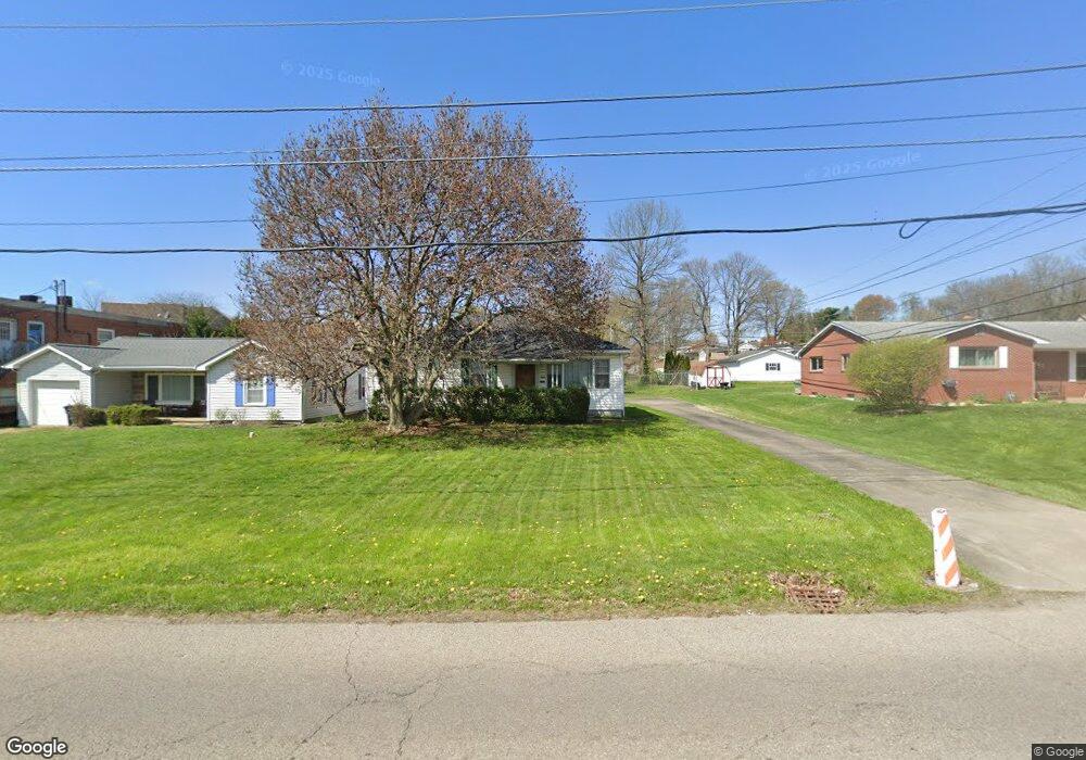
569 Harding Rd Zanesville, OH 43701
Estimated Value: $176,000 - $221,638
3
Beds
2
Baths
988
Sq Ft
$197/Sq Ft
Est. Value
About This Home
This home is located at 569 Harding Rd, Zanesville, OH 43701 and is currently estimated at $194,410, approximately $196 per square foot. 569 Harding Rd is a home located in Muskingum County with nearby schools including John McIntire Elementary School, Zanesville Middle School, and Zanesville High School.
Ownership History
Date
Name
Owned For
Owner Type
Purchase Details
Closed on
Dec 12, 2016
Sold by
Pryor Dana L & Katharine A Trustees
Bought by
Jana L Pryor
Current Estimated Value
Purchase Details
Closed on
Oct 20, 2004
Sold by
Hemmer Leah J
Bought by
Pryor Dana L and Pryor Katharine A
Create a Home Valuation Report for This Property
The Home Valuation Report is an in-depth analysis detailing your home's value as well as a comparison with similar homes in the area
Home Values in the Area
Average Home Value in this Area
Purchase History
| Date | Buyer | Sale Price | Title Company |
|---|---|---|---|
| Jana L Pryor | -- | -- | |
| Pryor Dana L | $90,000 | -- |
Source: Public Records
Tax History Compared to Growth
Tax History
| Year | Tax Paid | Tax Assessment Tax Assessment Total Assessment is a certain percentage of the fair market value that is determined by local assessors to be the total taxable value of land and additions on the property. | Land | Improvement |
|---|---|---|---|---|
| 2024 | $1,803 | $49,700 | $7,105 | $42,595 |
| 2023 | $1,305 | $33,705 | $5,880 | $27,825 |
| 2022 | $1,277 | $33,705 | $5,880 | $27,825 |
| 2021 | $1,266 | $33,705 | $5,880 | $27,825 |
| 2020 | $1,180 | $30,625 | $5,320 | $25,305 |
| 2019 | $1,180 | $30,625 | $5,320 | $25,305 |
| 2018 | $599 | $30,625 | $5,320 | $25,305 |
| 2017 | $1,169 | $28,735 | $5,355 | $23,380 |
| 2016 | $1,198 | $29,020 | $5,360 | $23,660 |
| 2015 | $1,201 | $29,020 | $5,360 | $23,660 |
| 2013 | $1,362 | $29,020 | $5,360 | $23,660 |
Source: Public Records
Map
Nearby Homes
- 36C W Ray Dr
- 36B Harding Rd
- 0 Harding- 36b Rd
- 0 W Ray- 36c Dr
- 0 E Ray- 36a Dr
- 753 Leonard Ave
- 36A E Ray Dr
- Lot 36D E Ray Dr
- 0 E Ray-36d Dr
- 765 Wabash Ave
- 801 Leonard Ave
- 835 Princeton Ave
- 427 Harding Rd
- 830 Bethesda Dr Unit 4
- 2700 Woodside Dr
- 0 Leonard Ave Unit 4200634
- 464 Coventry Cir
- 533 Winton Ave
- 2411 Bell St
- 2775 W Ridgewood Cir
- 563 Harding Rd
- 571 Harding Rd
- 575 Harding Rd Unit 2
- 575 Harding Rd Unit C
- 559 Harding Rd
- 578 Harding Rd
- 588 Harding Rd
- 2745 W Ray Dr
- 580 Harding Rd
- 568 Harding Rd
- 572 Harding Rd
- 564 Harding Rd
- 560 Harding Rd
- 2755 W Ray Dr
- 579 Harding Rd Unit D
- 579 Harding Rd Unit 2
- 579 Harding Rd Unit C
- 2706 1/2 Maple Ave
- 558 Harding Rd
- 541 Harding Rd