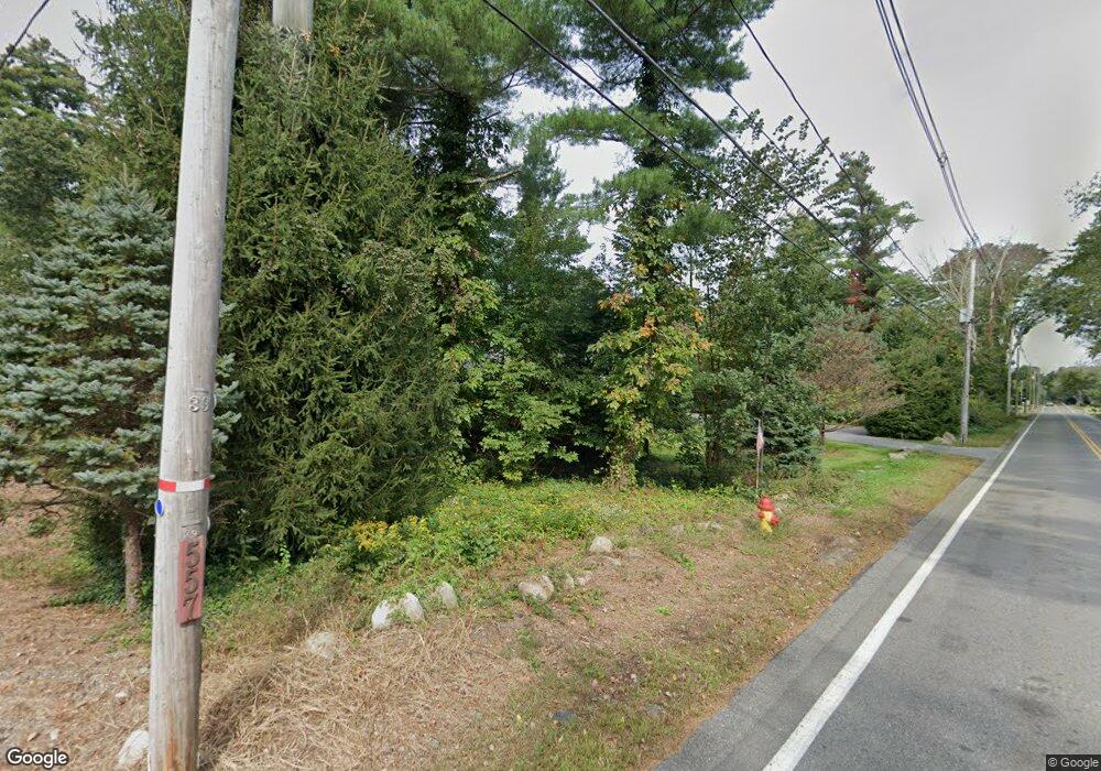
569 High St Hanson, MA 02341
Estimated Value: $852,000 - $989,000
3
Beds
4
Baths
3,286
Sq Ft
$279/Sq Ft
Est. Value
About This Home
This home is located at 569 High St, Hanson, MA 02341 and is currently estimated at $916,261, approximately $278 per square foot. 569 High St is a home located in Plymouth County.
Create a Home Valuation Report for This Property
The Home Valuation Report is an in-depth analysis detailing your home's value as well as a comparison with similar homes in the area
Home Values in the Area
Average Home Value in this Area
Tax History Compared to Growth
Tax History
| Year | Tax Paid | Tax Assessment Tax Assessment Total Assessment is a certain percentage of the fair market value that is determined by local assessors to be the total taxable value of land and additions on the property. | Land | Improvement |
|---|---|---|---|---|
| 2025 | $9,965 | $744,800 | $193,500 | $551,300 |
| 2024 | $9,678 | $723,300 | $187,900 | $535,400 |
| 2023 | $9,454 | $666,700 | $187,900 | $478,800 |
| 2022 | $9,252 | $613,100 | $170,800 | $442,300 |
| 2021 | $8,444 | $559,200 | $164,300 | $394,900 |
| 2020 | $8,354 | $547,100 | $158,700 | $388,400 |
| 2019 | $8,271 | $532,600 | $155,700 | $376,900 |
| 2018 | $8,129 | $513,500 | $149,700 | $363,800 |
| 2017 | $7,924 | $495,900 | $142,600 | $353,300 |
| 2016 | $8,035 | $485,500 | $142,600 | $342,900 |
| 2015 | $7,549 | $474,200 | $142,600 | $331,600 |
Source: Public Records
Map
Nearby Homes
- Lot 6 Way
- 80 Phillips St
- 72 Phillips St
- 1139 Main St Unit 4
- 84 Liberty St
- 1054 Main St
- 26 Stonebridge Dr
- Lot 5 Princeton Way
- 134 Crescent St
- 168 Spring St
- 26 Franklin St
- 353 Cross St
- 126-130 Franklin St
- 456 Gorwin Dr
- 1754 Central St
- 418 E Washington St
- 269 Lakeside Rd
- 842 Whitman St
- 23 Live Oak Way
- 430 Brook Bend Rd
