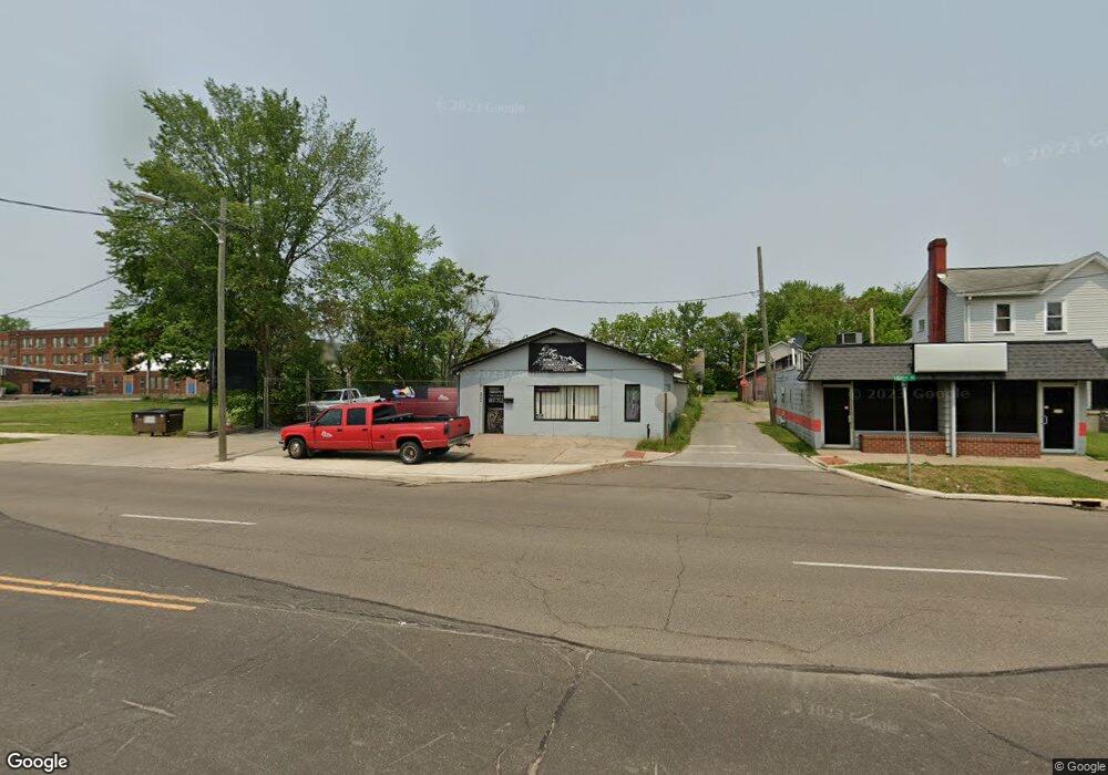
569 High St NE Warren, OH 44483
Central City Neighborhood
--
Bed
--
Bath
3,785
Sq Ft
0.25
Acres
About This Home
This home is located at 569 High St NE, Warren, OH 44483. 569 High St NE is a home located in Trumbull County with nearby schools including Warren G. Harding High School, Willard PK-8 School, and Steam Academy of Warren.
Ownership History
Date
Name
Owned For
Owner Type
Purchase Details
Closed on
Feb 21, 2025
Sold by
Bell Michael J and Bell Kelly L
Bought by
Proudfoot Russell L
Purchase Details
Closed on
Nov 2, 2022
Sold by
Bell Michael J
Bought by
J Bell J Michael and Bell S Kelly L
Home Financials for this Owner
Home Financials are based on the most recent Mortgage that was taken out on this home.
Interest Rate
7.08%
Purchase Details
Closed on
Aug 24, 2013
Sold by
Bell Michael J
Bought by
Proudfoot Russell
Purchase Details
Closed on
Feb 15, 2005
Sold by
Bell Michael J
Bought by
Bell Ii Michael J
Purchase Details
Closed on
Feb 11, 2005
Sold by
Bell Michael J
Bought by
Bell Ii Michael J
Purchase Details
Closed on
Jan 1, 1990
Bought by
Michael J Bell
Create a Home Valuation Report for This Property
The Home Valuation Report is an in-depth analysis detailing your home's value as well as a comparison with similar homes in the area
Home Values in the Area
Average Home Value in this Area
Purchase History
| Date | Buyer | Sale Price | Title Company |
|---|---|---|---|
| Proudfoot Russell L | $37,500 | None Listed On Document | |
| J Bell J Michael | -- | -- | |
| Proudfoot Russell | $37,500 | None Available | |
| Bell Ii Michael J | -- | -- | |
| Bell Ii Michael J | -- | -- | |
| Michael J Bell | -- | -- |
Source: Public Records
Mortgage History
| Date | Status | Borrower | Loan Amount |
|---|---|---|---|
| Previous Owner | Bell Ii Michael J | -- | |
| Closed | Proudfoot Russell | $0 |
Source: Public Records
Tax History Compared to Growth
Tax History
| Year | Tax Paid | Tax Assessment Tax Assessment Total Assessment is a certain percentage of the fair market value that is determined by local assessors to be the total taxable value of land and additions on the property. | Land | Improvement |
|---|---|---|---|---|
| 2024 | $983 | $14,530 | $7,980 | $6,550 |
| 2023 | $936 | $14,530 | $7,980 | $6,550 |
| 2022 | $671 | $8,960 | $6,370 | $2,590 |
| 2021 | $669 | $8,960 | $6,370 | $2,590 |
| 2020 | $670 | $8,960 | $6,370 | $2,590 |
| 2019 | $684 | $8,960 | $6,370 | $2,590 |
| 2018 | $680 | $8,960 | $6,370 | $2,590 |
| 2017 | $662 | $8,960 | $6,370 | $2,590 |
| 2016 | $693 | $9,280 | $7,980 | $1,300 |
| 2015 | $688 | $9,280 | $7,980 | $1,300 |
| 2014 | $682 | $9,280 | $7,980 | $1,300 |
| 2013 | $658 | $9,280 | $7,980 | $1,300 |
Source: Public Records
Map
Nearby Homes
- 433 Olive Ave NE Unit 435
- 179 Logan Ave NE
- 428 Waverly Ave NE
- 442 Belmont Ave NE
- 563 Atlantic St NE
- 257 Iddings Ave SE
- 1250 Grant St SE
- 351 Laird Ave NE
- 1033 Olive Ave NE
- 151 Bonnie Brae Ave NE
- 356 Laird Ave SE
- 561 South St SW
- 318 Fairmount Ave NE
- 855 Adams Ave NW
- 978 Hollywood St NE
- 424 Kenilworth Ave NE
- 159 Kenilworth Ave SE
- 451 Homewood Ave SE
- 737 East Ave SE
- 767 East Ave SE
- 585 High St NE
- 591 High St NE
- 597 High St NE
- 603 High St NE
- 565 Thorn Ct NE
- 573 Thorn Ct NE
- 626 Porter St NE
- 260 Elm Rd NE
- 638 Porter St NE
- 616 Porter St NE
- 274 276 Elm Rd Unit 276
- 590 High St NE
- 648 Porter St NE
- 656 Porter St NE
- 532 High St NE
- 540 High St NE
- 520 High St NE
- 604 High St NE
- 674 Porter St NE
- 541 Elm Ct NE