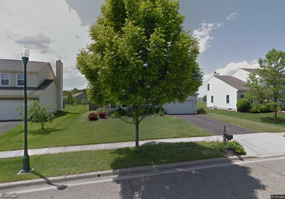
569 Hunnicut Dr Reynoldsburg, OH 43068
Estimated Value: $380,000 - $416,000
3
Beds
3
Baths
2,243
Sq Ft
$174/Sq Ft
Est. Value
About This Home
This home is located at 569 Hunnicut Dr, Reynoldsburg, OH 43068 and is currently estimated at $389,389, approximately $173 per square foot. 569 Hunnicut Dr is a home located in Licking County with nearby schools including North Elementary School, Summit Elementary School, and Licking Heights Central.
Ownership History
Date
Name
Owned For
Owner Type
Purchase Details
Closed on
Sep 30, 2002
Sold by
Rockford Homes Inc
Bought by
Steele Christopher E and Steele Jennifer A
Current Estimated Value
Home Financials for this Owner
Home Financials are based on the most recent Mortgage that was taken out on this home.
Original Mortgage
$188,401
Outstanding Balance
$79,909
Interest Rate
6.32%
Mortgage Type
FHA
Estimated Equity
$309,480
Create a Home Valuation Report for This Property
The Home Valuation Report is an in-depth analysis detailing your home's value as well as a comparison with similar homes in the area
Home Values in the Area
Average Home Value in this Area
Purchase History
| Date | Buyer | Sale Price | Title Company |
|---|---|---|---|
| Steele Christopher E | $189,890 | -- |
Source: Public Records
Mortgage History
| Date | Status | Borrower | Loan Amount |
|---|---|---|---|
| Open | Steele Christopher E | $188,401 |
Source: Public Records
Tax History Compared to Growth
Tax History
| Year | Tax Paid | Tax Assessment Tax Assessment Total Assessment is a certain percentage of the fair market value that is determined by local assessors to be the total taxable value of land and additions on the property. | Land | Improvement |
|---|---|---|---|---|
| 2024 | $4,296 | $111,790 | $25,760 | $86,030 |
| 2023 | $4,284 | $111,790 | $25,760 | $86,030 |
| 2022 | $4,207 | $85,160 | $19,320 | $65,840 |
| 2021 | $4,291 | $85,160 | $19,320 | $65,840 |
| 2020 | $4,309 | $85,160 | $19,320 | $65,840 |
| 2019 | $4,078 | $70,140 | $12,880 | $57,260 |
| 2018 | $4,103 | $0 | $0 | $0 |
| 2017 | $4,057 | $0 | $0 | $0 |
| 2016 | $3,369 | $0 | $0 | $0 |
| 2015 | $3,256 | $0 | $0 | $0 |
| 2014 | $5,082 | $0 | $0 | $0 |
| 2013 | $3,310 | $0 | $0 | $0 |
Source: Public Records
Map
Nearby Homes
- 8774 Ormiston Cir
- 7483 Summit Rd SW
- 9019 Kingsley Dr
- 745 Turos Ct
- 917 Mahle Dr
- 325 Straw Ct
- 805 Saddle Ave
- 494 Wagon Ave
- 1065 Mastell Dr
- 1143 Mueller Dr
- 8889 Betony Ct SW
- 937 Quaint Ct
- 8536 Robbins Loop Dr
- Stamford Plan at Maplewood North
- Sienna Plan at Maplewood North
- Bridgestone Plan at Maplewood North
- Fairton Plan at Maplewood North
- Bellamy Plan at Maplewood North
- Newcastle Plan at Maplewood North
- Henley Plan at Maplewood North
- 579 Hunnicut Dr
- 561 Hunnicut Dr
- 589 Hunnicut Dr
- 553 Hunnicut Dr
- 8881 Patterson Loop
- 8891 Patterson Loop
- 572 Hunnicut Dr
- 562 Hunnicut Dr
- 8871 Patterson Loop
- 8901 Patterson Loop
- 543 Hunnicut Dr
- 582 Hunnicut Dr
- 552 Hunnicut Dr
- 9090 Ridgeline Dr
- 9080 Ridgeline Dr
- 8861 Patterson Loop
- 9060 Ridgeline Dr
- 542 Hunnicut Dr
- 594 Hunnicut Dr
- 9050 Ridgeline Dr