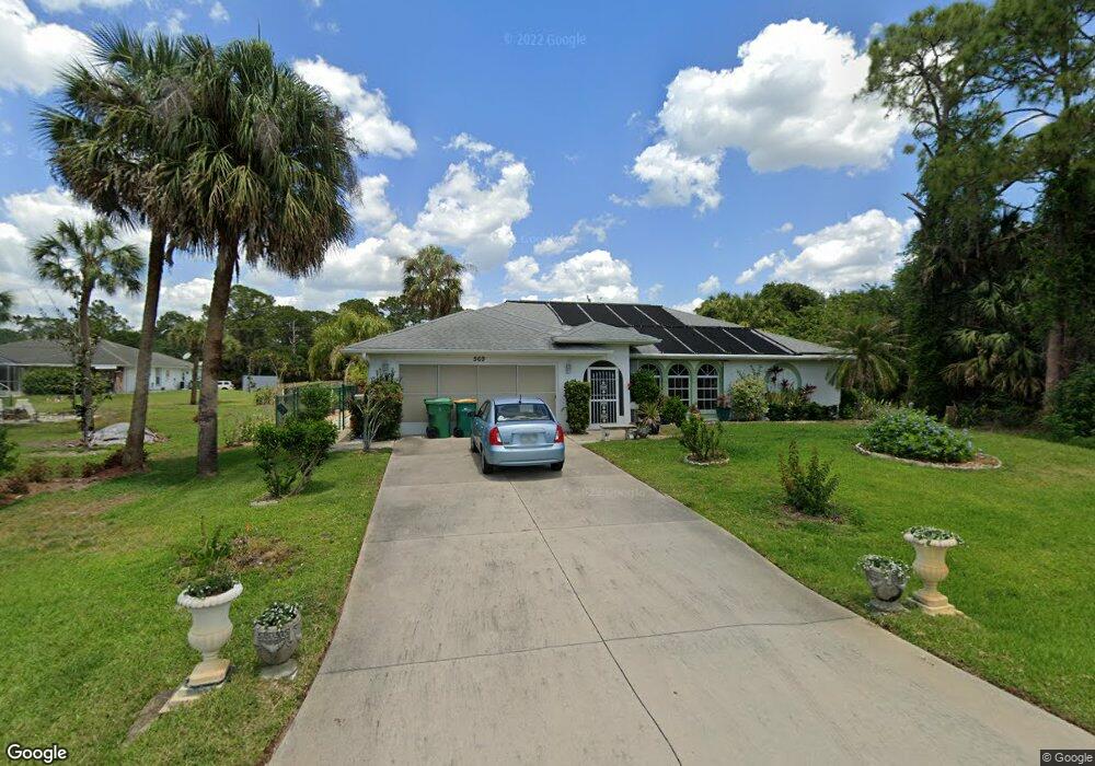
569 Lomond Dr Port Charlotte, FL 33953
Northwest Port Charlotte NeighborhoodEstimated Value: $331,137 - $375,000
3
Beds
3
Baths
1,726
Sq Ft
$210/Sq Ft
Est. Value
About This Home
This home is located at 569 Lomond Dr, Port Charlotte, FL 33953 and is currently estimated at $362,534, approximately $210 per square foot. 569 Lomond Dr is a home located in Charlotte County with nearby schools including Liberty Elementary School, Murdock Middle School, and Port Charlotte High School.
Ownership History
Date
Name
Owned For
Owner Type
Purchase Details
Closed on
Oct 4, 2006
Sold by
Root David P and Root Renate M
Bought by
Neaz Vincent Richard and Gessner Neaz Angelika Marie
Current Estimated Value
Purchase Details
Closed on
Jun 22, 2005
Sold by
Nagy Katalin B
Bought by
Root David P and Root Renate M
Home Financials for this Owner
Home Financials are based on the most recent Mortgage that was taken out on this home.
Original Mortgage
$200,000
Interest Rate
5.37%
Mortgage Type
Fannie Mae Freddie Mac
Create a Home Valuation Report for This Property
The Home Valuation Report is an in-depth analysis detailing your home's value as well as a comparison with similar homes in the area
Home Values in the Area
Average Home Value in this Area
Purchase History
| Date | Buyer | Sale Price | Title Company |
|---|---|---|---|
| Neaz Vincent Richard | $275,000 | None Available | |
| Root David P | $250,000 | Safetitle Company |
Source: Public Records
Mortgage History
| Date | Status | Borrower | Loan Amount |
|---|---|---|---|
| Previous Owner | Root David P | $200,000 |
Source: Public Records
Tax History Compared to Growth
Tax History
| Year | Tax Paid | Tax Assessment Tax Assessment Total Assessment is a certain percentage of the fair market value that is determined by local assessors to be the total taxable value of land and additions on the property. | Land | Improvement |
|---|---|---|---|---|
| 2023 | $1,521 | $91,688 | $0 | $0 |
| 2022 | $1,443 | $89,017 | $0 | $0 |
| 2021 | $1,419 | $86,424 | $0 | $0 |
| 2020 | $678 | $85,231 | $0 | $0 |
| 2019 | $1,289 | $83,315 | $0 | $0 |
| 2018 | $1,172 | $81,762 | $0 | $0 |
| 2017 | $1,151 | $80,080 | $0 | $0 |
| 2016 | $1,134 | $78,433 | $0 | $0 |
| 2015 | $570 | $77,888 | $0 | $0 |
| 2014 | $565 | $77,270 | $0 | $0 |
Source: Public Records
Map
Nearby Homes
- 15193 Wymore Ave
- 618 Lomond Dr
- 311 Yule St
- 15082 Community Ave
- 474 Lomond Dr
- 15160 Buswell Ave
- 320 Yule St
- 327 Tenk St
- 313 Mowl St
- 15035 Buswell Ave
- 434 Lomond Dr
- 147 Adalia Terrace
- 1008 Adalia Terrace
- 1457 Adalia Terrace
- 1569 Adalia Terrace
- 305 Mowl St
- 469 Border St
- 327 Arbor St
- 332 La Playa Ln
- 15106 Gulistan Ave
- 15177 Wymore Ave
- 15185 Wymore Ave
- 15169 Wymore Ave
- 578 Lomond Dr
- 554 Lomond Dr
- 562 Lomond Dr
- 15178 Wymore Ave
- 15194 Wymore Ave
- 586 Lomond Dr
- 593 Lomond Dr
- 545 Lomond Dr
- 15201 Wymore Ave
- 546 Lomond Dr
- 537 Lomond Dr
- 15209 Wymore Ave
- 352 Mowl Ave
- 602 Lomond Dr
- 15145 Wymore Ave
- 538 Lomond Dr
- 613 Clearview Dr