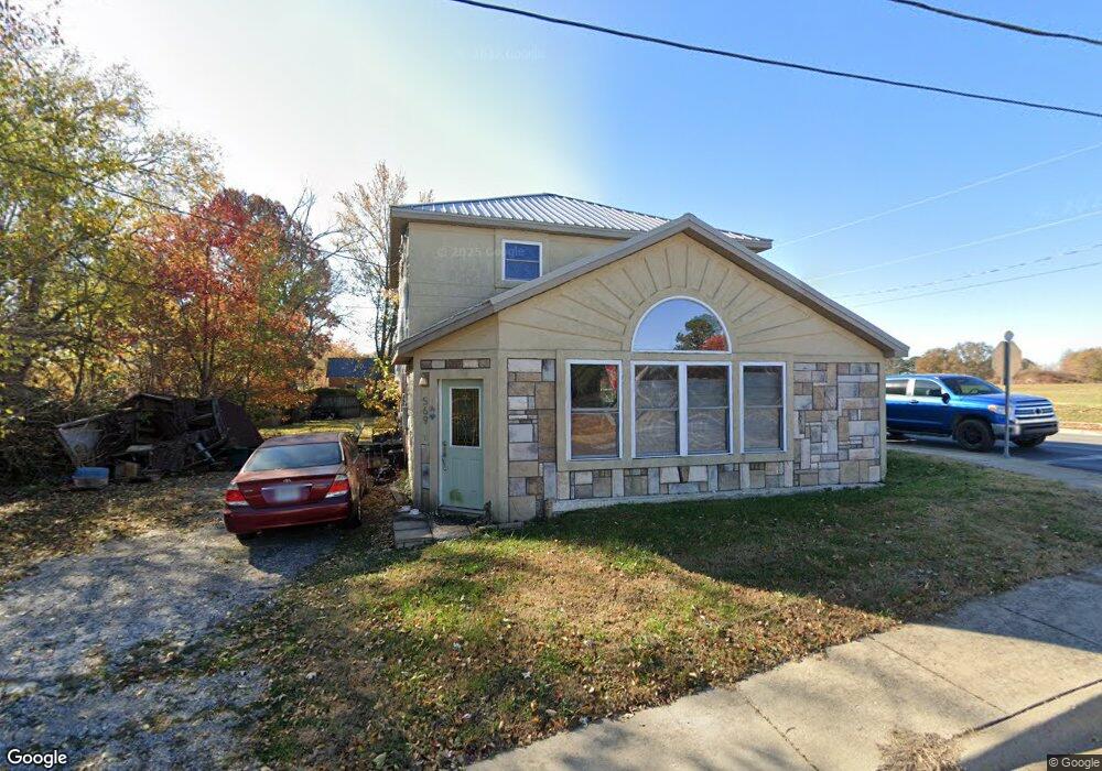
569 Mcculloch St Pea Ridge, AR 72751
Estimated Value: $251,000 - $316,000
--
Bed
1
Bath
1,784
Sq Ft
$160/Sq Ft
Est. Value
About This Home
This home is located at 569 Mcculloch St, Pea Ridge, AR 72751 and is currently estimated at $284,638, approximately $159 per square foot. 569 Mcculloch St is a home located in Benton County with nearby schools including Pea Ridge Primary School, Pea Ridge Intermediate School, and Pea Ridge Middle School.
Ownership History
Date
Name
Owned For
Owner Type
Purchase Details
Closed on
Jan 13, 2003
Bought by
Seigneur
Current Estimated Value
Purchase Details
Closed on
Oct 23, 2000
Bought by
Seigneur
Purchase Details
Closed on
Jan 27, 1997
Bought by
Coleman
Purchase Details
Closed on
Feb 20, 1996
Bought by
Seigneur
Purchase Details
Closed on
Apr 21, 1995
Bought by
Jones Trusts
Purchase Details
Closed on
Apr 19, 1995
Bought by
Jones Trust
Create a Home Valuation Report for This Property
The Home Valuation Report is an in-depth analysis detailing your home's value as well as a comparison with similar homes in the area
Home Values in the Area
Average Home Value in this Area
Purchase History
| Date | Buyer | Sale Price | Title Company |
|---|---|---|---|
| Seigneur | -- | -- | |
| Seigneur | -- | -- | |
| Coleman | -- | -- | |
| Seigneur | $25,000 | -- | |
| Jones Trusts | -- | -- | |
| Jones Trust | -- | -- |
Source: Public Records
Tax History Compared to Growth
Tax History
| Year | Tax Paid | Tax Assessment Tax Assessment Total Assessment is a certain percentage of the fair market value that is determined by local assessors to be the total taxable value of land and additions on the property. | Land | Improvement |
|---|---|---|---|---|
| 2025 | $1,625 | $38,355 | $10,000 | $28,355 |
| 2024 | $1,528 | $38,355 | $10,000 | $28,355 |
| 2023 | $1,390 | $25,970 | $3,800 | $22,170 |
| 2022 | $1,339 | $25,970 | $3,800 | $22,170 |
| 2021 | $1,216 | $25,970 | $3,800 | $22,170 |
| 2020 | $1,142 | $18,780 | $1,500 | $17,280 |
| 2019 | $1,142 | $18,780 | $1,500 | $17,280 |
| 2018 | $1,142 | $18,780 | $1,500 | $17,280 |
| 2017 | $974 | $18,780 | $1,500 | $17,280 |
| 2016 | $974 | $18,780 | $1,500 | $17,280 |
| 2015 | $884 | $15,530 | $3,200 | $12,330 |
| 2014 | $884 | $15,530 | $3,200 | $12,330 |
Source: Public Records
Map
Nearby Homes
- 435 Mcculloch St
- 1285 Weston St
- 296 Van Dorn St
- 117 Van Dorn St
- 446 W Pickens Rd
- 2000 Decker Rd
- 1809 Abbott Ln
- 2310 Carper Ln
- 1703 Cuppett Cir
- 1701 Cuppett Cir
- 1717 Cuppett Cir
- 1715 Cuppett Cir
- 1307 Joyce St
- 1305 Joyce St
- 264 Mcintosh St
- 1821 Woodhause Cir
- 901 Carlock Dr
- 1808 Abbott Ln
- 1901 Bergman Rd
- 1805 Abbott Ln
- 535 Mcculloch St
- 1076 Weston St
- 1196 Weston St
- 538 Mcculloch St
- 511 Mcculloch St
- 1040 Weston St
- 1226 Weston St
- 516 Mcculloch St
- 491 Mcculloch St
- 498 Mcculloch St
- 1256 Weston St
- 1008 Weston St
- 450 Mcculloch St
- 1286 Weston St
- 1225 Dodge St
- 1101 Carney Cir
- 0 Off Hoffman St Unit 1199596
- 0 Off Hoffman St Unit 1218649
- 0 Off Hoffman St Unit 1160593
- 10555 Hazelton Rd