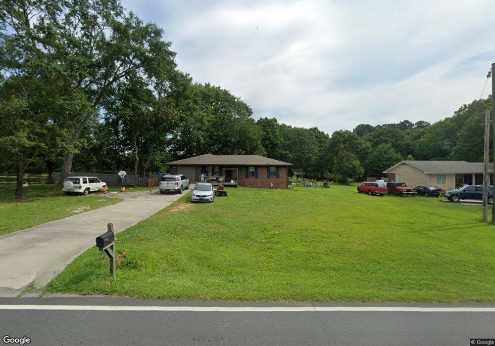
569 Miles Patrick Rd Winder, GA 30680
Estimated Value: $225,203 - $302,000
3
Beds
1
Bath
988
Sq Ft
$266/Sq Ft
Est. Value
About This Home
This home is located at 569 Miles Patrick Rd, Winder, GA 30680 and is currently estimated at $263,301, approximately $266 per square foot. 569 Miles Patrick Rd is a home located in Barrow County with nearby schools including County Line Elementary School, Russell Middle School, and Winder-Barrow High School.
Ownership History
Date
Name
Owned For
Owner Type
Purchase Details
Closed on
Sep 10, 1990
Bought by
Cross Donna K
Current Estimated Value
Create a Home Valuation Report for This Property
The Home Valuation Report is an in-depth analysis detailing your home's value as well as a comparison with similar homes in the area
Home Values in the Area
Average Home Value in this Area
Purchase History
| Date | Buyer | Sale Price | Title Company |
|---|---|---|---|
| Cross Donna K | $54,000 | -- |
Source: Public Records
Tax History
| Year | Tax Paid | Tax Assessment Tax Assessment Total Assessment is a certain percentage of the fair market value that is determined by local assessors to be the total taxable value of land and additions on the property. | Land | Improvement |
|---|---|---|---|---|
| 2025 | $381 | $48,902 | $12,000 | $36,902 |
| 2024 | $374 | $47,776 | $12,000 | $35,776 |
| 2023 | $242 | $47,776 | $12,000 | $35,776 |
| 2022 | $1,071 | $33,907 | $12,000 | $21,907 |
| 2021 | $1,060 | $33,907 | $12,000 | $21,907 |
| 2020 | $1,064 | $33,907 | $12,000 | $21,907 |
| 2019 | $1,068 | $33,627 | $11,600 | $22,027 |
| 2018 | $1,040 | $33,627 | $11,600 | $22,027 |
| 2017 | $900 | $30,168 | $11,600 | $18,568 |
| 2016 | $827 | $28,740 | $11,600 | $17,140 |
| 2015 | $833 | $28,963 | $11,600 | $17,363 |
| 2014 | $687 | $24,670 | $6,860 | $17,810 |
| 2013 | -- | $24,223 | $6,860 | $17,363 |
Source: Public Records
Map
Nearby Homes
- 128 Northridge Dr
- 932 Century Oak Dr
- 538 Valleyview Dr
- 311 Rockwell Church Rd NW
- 2050 Whispering Way
- 615 Wellington Dr
- 845 Idlewood Rd
- 716 Michael Dr
- 27 Creekside Dr
- 0 E Northcrest Dr Unit 10648147
- 421 N 5th Ave
- 469 Plantation Dr
- 403 Ryan Cir
- 436 Northcrest Dr
- 318 Ryan Rd
- 719 Mallard Dr
- 617 Teal Dr
- 713 Mallard Dr
- 236 Hidden Ct
- 222 Ryan Rd
- 565 Miles Patrick Rd
- 559 Miles Patrick Rd
- 564 Miles Patrick Rd
- 560 Miles Patrick Rd Unit 1
- 560 Miles Patrick Rd
- 555 Miles Patrick Rd
- 609 Miles Patrick Rd
- 103 Ashwood Dr
- 406 Winfield Terrace Unit 2
- 551 Miles Patrick Rd
- 107 Ashwood Dr
- 547 Miles Patrick Rd
- 102 Ashwood Dr Unit 1
- 405 Winfield Terrace
- 109 Ashwood Dr
- 109 Ashwood Dr
- 543 Miles Patrick Rd
- 104 Ashwood Dr
- 104 Ashwood Dr Unit 1
- 106 Ashwood Dr
Your Personal Tour Guide
Ask me questions while you tour the home.