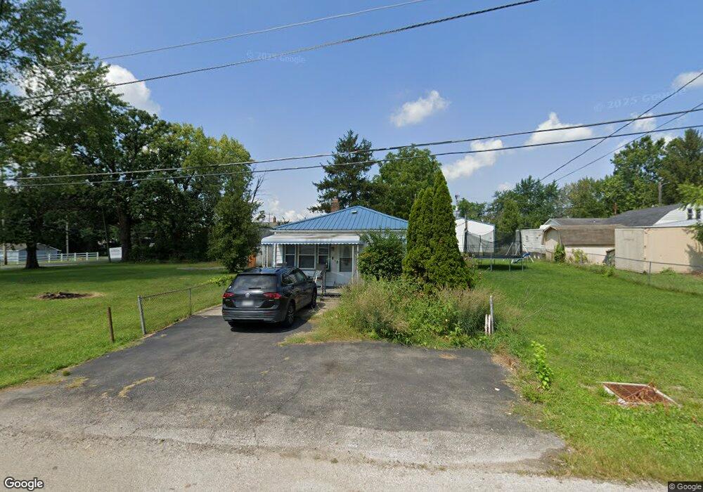
569 Mix Ave Columbus, OH 43228
Estimated Value: $105,000 - $150,000
2
Beds
1
Bath
900
Sq Ft
$140/Sq Ft
Est. Value
About This Home
This home is located at 569 Mix Ave, Columbus, OH 43228 and is currently estimated at $126,199, approximately $140 per square foot. 569 Mix Ave is a home located in Franklin County with nearby schools including Stiles Elementary School, Galloway Ridge Intermediate School, and Norton Middle School.
Ownership History
Date
Name
Owned For
Owner Type
Purchase Details
Closed on
Aug 31, 2023
Sold by
Peters Sarah L
Bought by
Cordle Brenda and Suttle Shawn
Current Estimated Value
Purchase Details
Closed on
Oct 18, 2016
Sold by
Kidd Paul and Kidd Diane
Bought by
Peters Bobby and Peters Sharah L
Purchase Details
Closed on
Jun 5, 2000
Sold by
Peters Bobby and Peters Sarah L
Bought by
Peters Bobby L and Peters Sarah L
Purchase Details
Closed on
Mar 15, 1978
Bought by
Peters Bobby
Create a Home Valuation Report for This Property
The Home Valuation Report is an in-depth analysis detailing your home's value as well as a comparison with similar homes in the area
Home Values in the Area
Average Home Value in this Area
Purchase History
| Date | Buyer | Sale Price | Title Company |
|---|---|---|---|
| Cordle Brenda | $80,000 | None Listed On Document | |
| Peters Bobby | $3,000 | Northwest Title Box | |
| Peters Bobby L | -- | Warranty Title | |
| Peters Bobby | -- | -- |
Source: Public Records
Tax History
| Year | Tax Paid | Tax Assessment Tax Assessment Total Assessment is a certain percentage of the fair market value that is determined by local assessors to be the total taxable value of land and additions on the property. | Land | Improvement |
|---|---|---|---|---|
| 2025 | $1,351 | $30,030 | $9,730 | $20,300 |
| 2024 | $1,351 | $30,030 | $9,730 | $20,300 |
| 2023 | $896 | $30,030 | $9,730 | $20,300 |
| 2022 | $717 | $20,480 | $1,820 | $18,660 |
| 2021 | $728 | $20,480 | $1,820 | $18,660 |
| 2020 | $725 | $20,480 | $1,820 | $18,660 |
| 2019 | $650 | $17,930 | $1,510 | $16,420 |
| 2018 | $324 | $17,930 | $1,510 | $16,420 |
| 2017 | $612 | $17,930 | $1,510 | $16,420 |
| 2016 | $245 | $12,110 | $1,960 | $10,150 |
| 2015 | $123 | $12,110 | $1,960 | $10,150 |
| 2014 | $246 | $12,110 | $1,960 | $10,150 |
| 2013 | $199 | $14,245 | $2,310 | $11,935 |
Source: Public Records
Map
Nearby Homes
- 546 Emmit Ave
- 495 Daytona Rd
- 377 S Murray Hill Rd
- 470 Woodlawn Ave
- 4848 Deephollow Dr
- 257 S Murray Hill Rd
- 4682 Arnold Ave
- 429 Postle Blvd
- 4637 Hilton Ave
- 415 Georgesville Rd
- 104 Oxley Rd
- 4518 Hall Rd
- 89 Postle Blvd
- 110 Inah Ave
- 4723 Tarryton Ct S Unit 14-E
- 87 Tarryton Ct W Unit 18D
- 97 Tarryton Ct W Unit 19-H
- 496 Clairbrook Ave Unit Jc-13
- 4459 Amwood St
- 557 Simbury St
- 4694 Sullivant Ave
- 4714 Sullivant Ave
- 547 Mix Ave
- 542 S Grener Ave
- 542 S Grener Ave Unit 2
- 4680 Sullivant Ave
- 4674 Sullivant Ave
- 552 Mix Ave
- 552 Mix Ave
- 581 Emmit Ave
- 546 Mix Ave
- 546 Mix Ave
- 529 Mix Ave
- 577 Emmit Ave
- 530 Mix Rd
- 530 Mix Ave
- 568 S Murray Hill Rd
- 516 S Grener Ave
- 526 Mix Ave
- 600 S Murray Hill Rd
Your Personal Tour Guide
Ask me questions while you tour the home.