569 N 400 W Shoshone, ID 83352
Estimated Value: $246,548 - $476,000
--
Bed
--
Bath
1,680
Sq Ft
$194/Sq Ft
Est. Value
About This Home
This home is located at 569 N 400 W, Shoshone, ID 83352 and is currently estimated at $326,137, approximately $194 per square foot. 569 N 400 W is a home with nearby schools including Shoshone Elementary School and Shoshone High School.
Create a Home Valuation Report for This Property
The Home Valuation Report is an in-depth analysis detailing your home's value as well as a comparison with similar homes in the area
Home Values in the Area
Average Home Value in this Area
Tax History Compared to Growth
Tax History
| Year | Tax Paid | Tax Assessment Tax Assessment Total Assessment is a certain percentage of the fair market value that is determined by local assessors to be the total taxable value of land and additions on the property. | Land | Improvement |
|---|---|---|---|---|
| 2025 | $937 | $158,180 | $54,180 | $104,000 |
| 2024 | $937 | $159,520 | $54,180 | $105,340 |
| 2023 | $937 | $159,520 | $54,180 | $105,340 |
| 2022 | $1,078 | $153,310 | $51,480 | $101,830 |
| 2021 | $866 | $112,250 | $42,980 | $69,270 |
| 2020 | $709 | $87,570 | $38,480 | $49,090 |
| 2019 | $770 | $84,440 | $40,710 | $43,730 |
| 2015 | $739 | $0 | $0 | $0 |
| 2014 | $777 | $0 | $0 | $0 |
| 2013 | $779 | $0 | $0 | $0 |
| 2011 | $775 | $0 | $0 | $0 |
Source: Public Records
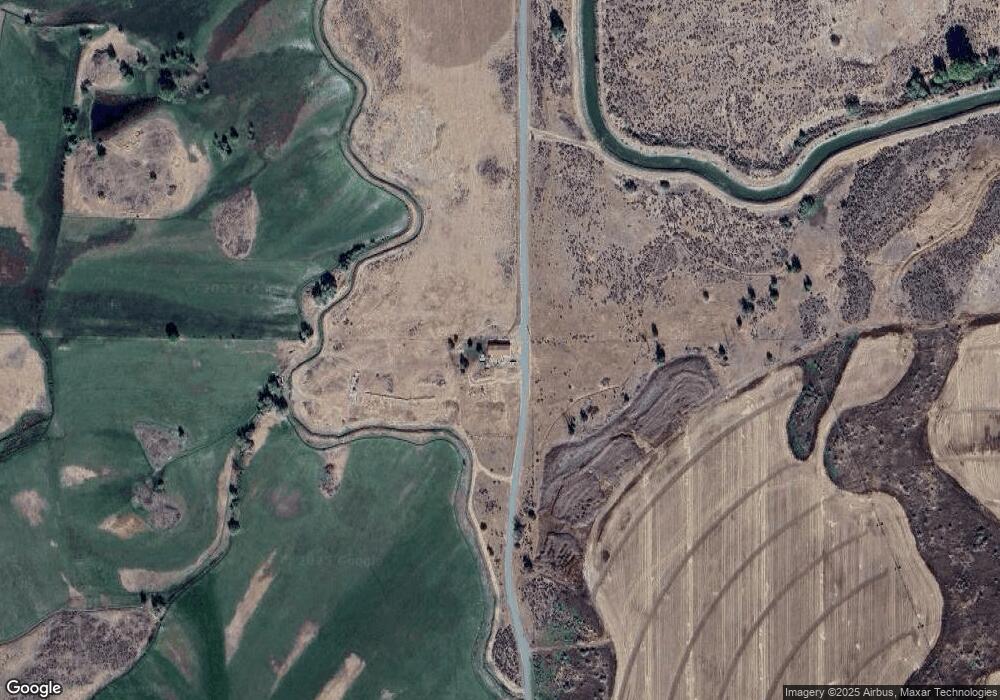
Map
Nearby Homes
- 103 W 420 N
- 0 E Hwy 26 (Parcel2)
- 0 E Hwy 26 (Parcel1)
- 40 W 420 N
- 228 W Shore Loop
- TBD Fairfield
- 125 Parker Gulch Rd
- 113 E 450 N
- 568 N 150 E
- 530 N 170 E
- 26 W Huyser Dr
- 101 Quail Ridge Dr
- 106 Riverview Dr
- 224 E 520 N
- 403 N Cherry St
- 415 N Birch St
- 522 N Apple St
- 414 N Birch St
- 249 Mariposa Cir
- 166 Eric Rd