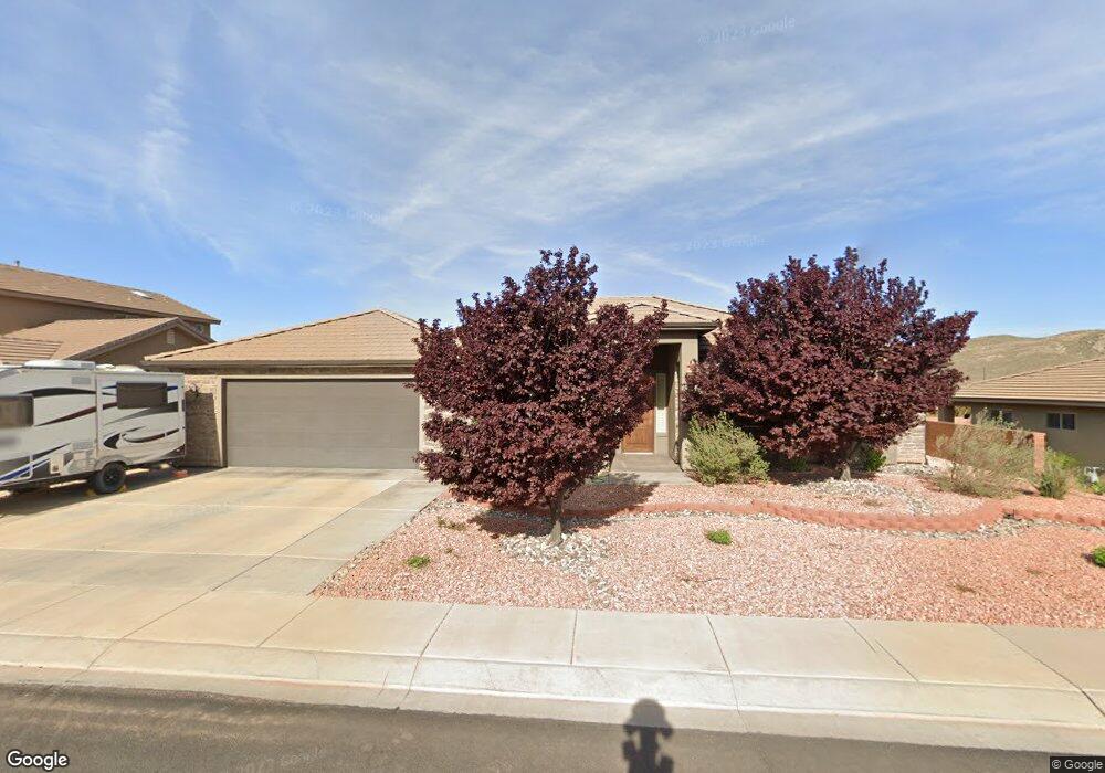
569 N Belair Hurricane, UT 84737
Estimated Value: $541,000 - $658,000
4
Beds
3
Baths
2,236
Sq Ft
$270/Sq Ft
Est. Value
About This Home
This home is located at 569 N Belair, Hurricane, UT 84737 and is currently estimated at $604,042, approximately $270 per square foot. 569 N Belair is a home located in Washington County with nearby schools including Hurricane Middle School, Hurricane High School, and Hurricane Intermediate School.
Ownership History
Date
Name
Owned For
Owner Type
Purchase Details
Closed on
Jun 29, 2015
Sold by
Wring Ted and Wring Linda
Bought by
The T&L Wring Family Trust and Wring Ted
Current Estimated Value
Purchase Details
Closed on
Dec 26, 2008
Sold by
Heywood Michael R
Bought by
Wring Ted and Wring Linda
Purchase Details
Closed on
Aug 2, 2007
Sold by
Cheney Financial Services Inc
Bought by
Heywood Michael R
Home Financials for this Owner
Home Financials are based on the most recent Mortgage that was taken out on this home.
Original Mortgage
$231,800
Interest Rate
6.66%
Mortgage Type
Seller Take Back
Purchase Details
Closed on
Jun 5, 2007
Sold by
Southern Star Homes Llc
Bought by
Cheney Financial Services Inc
Home Financials for this Owner
Home Financials are based on the most recent Mortgage that was taken out on this home.
Original Mortgage
$231,800
Interest Rate
6.66%
Mortgage Type
Seller Take Back
Create a Home Valuation Report for This Property
The Home Valuation Report is an in-depth analysis detailing your home's value as well as a comparison with similar homes in the area
Home Values in the Area
Average Home Value in this Area
Purchase History
| Date | Buyer | Sale Price | Title Company |
|---|---|---|---|
| The T&L Wring Family Trust | -- | None Available | |
| Wring Ted | -- | Southern Utah Title | |
| Heywood Michael R | -- | Southern Utah Title Co | |
| Cheney Financial Services Inc | -- | Southern Utah Title Co |
Source: Public Records
Mortgage History
| Date | Status | Borrower | Loan Amount |
|---|---|---|---|
| Previous Owner | Heywood Michael R | $231,800 |
Source: Public Records
Tax History Compared to Growth
Tax History
| Year | Tax Paid | Tax Assessment Tax Assessment Total Assessment is a certain percentage of the fair market value that is determined by local assessors to be the total taxable value of land and additions on the property. | Land | Improvement |
|---|---|---|---|---|
| 2025 | $2,211 | $303,710 | $87,725 | $215,985 |
| 2023 | $167 | $296,010 | $63,525 | $232,485 |
| 2022 | $260 | $281,765 | $54,450 | $227,315 |
| 2021 | $276 | $398,900 | $82,500 | $316,400 |
| 2020 | $2,032 | $353,100 | $66,000 | $287,100 |
| 2019 | $1,943 | $327,400 | $55,000 | $272,400 |
| 2018 | $1,863 | $161,480 | $0 | $0 |
| 2017 | $1,848 | $154,055 | $0 | $0 |
| 2016 | $1,726 | $253,400 | $0 | $0 |
| 2015 | $3,169 | $246,500 | $0 | $0 |
| 2014 | $2,804 | $226,900 | $0 | $0 |
Source: Public Records
Map
Nearby Homes
- 577 N Belair
- 557 N Belair
- 564 N Torey Ln
- 572 N Torey Ln
- 566 N Belair
- Lot 81 Coronado Ridge
- 556 N Torey Ln
- 570 N Belair
- 574 N Belair
- 558 N Belair
- 3265 W Palomar
- 3263 W Palomar
- 3267 W Palomar
- 586 N Torey Ln
- 580 N Belair
- 563 N Staci Dr
- 3987 Coronado Dr
- 559 N Staci Dr
- 567 N Staci Dr
- Lot 110 ''Ileigh Plan'' Staci Dr