569 N County Line Rd Unit 1 Hobart, IN 46342
Estimated Value: $307,000 - $332,000
2
Beds
2
Baths
1,460
Sq Ft
$220/Sq Ft
Est. Value
About This Home
This home is located at 569 N County Line Rd Unit 1, Hobart, IN 46342 and is currently estimated at $321,531, approximately $220 per square foot. 569 N County Line Rd Unit 1 is a home located in Porter County with nearby schools including Union Township Middle School, Wheeler High School, and Trinity Lutheran School.
Ownership History
Date
Name
Owned For
Owner Type
Purchase Details
Closed on
Jul 8, 2015
Sold by
Ward Daniel R and Ward Nicole E
Bought by
Mccarty Michael E and Mccarty Beth A
Current Estimated Value
Purchase Details
Closed on
Jul 5, 2015
Sold by
Ward Daniel R and Poston Sheri K
Bought by
Ward Daniel R and Ward Nicole E
Purchase Details
Closed on
Apr 7, 2015
Sold by
Ward Donna C
Bought by
Ward Daniel R and Poston Sheri K
Purchase Details
Closed on
Apr 27, 2006
Sold by
Ward Daniel R and Poston Sheri K
Bought by
Ward Donna C
Home Financials for this Owner
Home Financials are based on the most recent Mortgage that was taken out on this home.
Original Mortgage
$60,000
Interest Rate
6.27%
Mortgage Type
Purchase Money Mortgage
Create a Home Valuation Report for This Property
The Home Valuation Report is an in-depth analysis detailing your home's value as well as a comparison with similar homes in the area
Home Values in the Area
Average Home Value in this Area
Purchase History
| Date | Buyer | Sale Price | Title Company |
|---|---|---|---|
| Mccarty Michael E | -- | None Available | |
| Ward Daniel R | -- | None Available | |
| Ward Daniel R | -- | None Available | |
| Ward Donna C | -- | Ticor Title Insurance Co | |
| Ward Daniel R | -- | Ticor Title Insurance Co |
Source: Public Records
Mortgage History
| Date | Status | Borrower | Loan Amount |
|---|---|---|---|
| Previous Owner | Ward Donna C | $60,000 |
Source: Public Records
Tax History Compared to Growth
Tax History
| Year | Tax Paid | Tax Assessment Tax Assessment Total Assessment is a certain percentage of the fair market value that is determined by local assessors to be the total taxable value of land and additions on the property. | Land | Improvement |
|---|---|---|---|---|
| 2024 | $1,921 | $257,000 | $53,800 | $203,200 |
| 2023 | $1,781 | $229,900 | $46,900 | $183,000 |
| 2022 | $1,701 | $215,500 | $46,900 | $168,600 |
| 2021 | $1,827 | $203,000 | $46,900 | $156,100 |
| 2020 | $1,788 | $206,900 | $41,100 | $165,800 |
| 2019 | $1,698 | $188,100 | $41,100 | $147,000 |
| 2018 | $1,780 | $182,000 | $41,100 | $140,900 |
| 2017 | $1,225 | $154,700 | $41,100 | $113,600 |
| 2016 | -- | $151,500 | $41,900 | $109,600 |
Source: Public Records
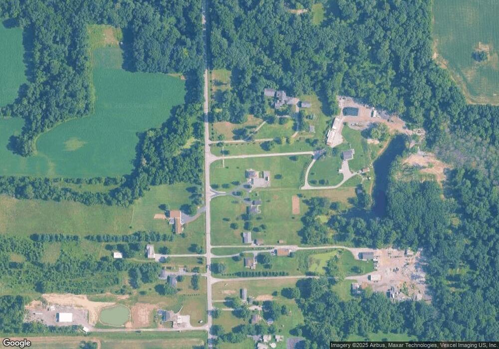
Map
Nearby Homes
- N/a County Line Sr 130
- 2411 E 10th St
- 736 Cinnamon Teal Ct
- 606 Merganser Dr
- 4539 Us Hwy 30
- 745 Pintail Ln
- 6490 County Line Rd
- 6235 Randolph St
- 7922 Bracken Pkwy
- 2925 Mcafee Dr
- 7723 Eider Ave
- 679 N 700 W
- 427 S Lawrence St
- 6289 Grosbeak Ct
- 2636 Drexel Dr
- 5193 Foxmoor Ave
- 400 S Liberty St
- 633 W 600 N
- 1320 Garfield St
- 416 S Liberty Place
- 569 N County Line Rd
- 569 N County Line Rd
- 561 N County Line Rd
- 571 N County Line Rd
- 1260 S County Line Rd
- 553 N County Line Rd
- 1340 S County Line Rd
- 1150 S County Line Rd
- 1360 S County Line Rd
- 555 N County Line Rd
- 557 N County Line Rd
- 551 N County Line Rd
- 551 N County Line Rd
- 549 N County Line Rd
- 545 N County Line Rd
- 1370 S County Line Rd
- 593 N County Line Rd
- 1070 S County Line Rd
- 543 N County Line Rd
- 0 County Line Rd