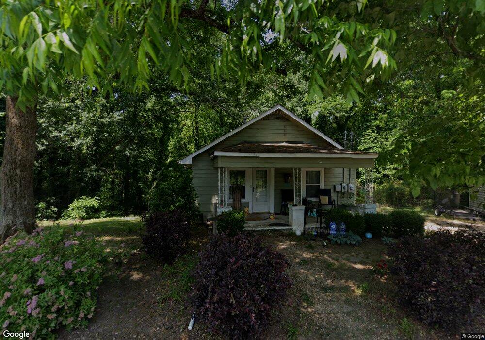
569 N Pond St Toccoa, GA 30577
Estimated Value: $128,000 - $219,000
3
Beds
2
Baths
1,488
Sq Ft
$114/Sq Ft
Est. Value
About This Home
This home is located at 569 N Pond St, Toccoa, GA 30577 and is currently estimated at $170,116, approximately $114 per square foot. 569 N Pond St is a home located in Stephens County with nearby schools including Stephens County High School.
Ownership History
Date
Name
Owned For
Owner Type
Purchase Details
Closed on
Oct 10, 2006
Sold by
Sound Properties Llc
Bought by
Anderson Raymond L
Current Estimated Value
Home Financials for this Owner
Home Financials are based on the most recent Mortgage that was taken out on this home.
Original Mortgage
$44,000
Interest Rate
6.39%
Mortgage Type
New Conventional
Purchase Details
Closed on
Dec 17, 2003
Bought by
<Buyer Info Not Present>
Purchase Details
Closed on
Dec 1, 1998
Bought by
<Buyer Info Not Present>
Purchase Details
Closed on
Apr 1, 1992
Bought by
<Buyer Info Not Present>
Create a Home Valuation Report for This Property
The Home Valuation Report is an in-depth analysis detailing your home's value as well as a comparison with similar homes in the area
Home Values in the Area
Average Home Value in this Area
Purchase History
| Date | Buyer | Sale Price | Title Company |
|---|---|---|---|
| Anderson Raymond L | $42,000 | -- | |
| Anderson Raymond L | $42,000 | -- | |
| <Buyer Info Not Present> | $32,500 | -- | |
| <Buyer Info Not Present> | $25,000 | -- | |
| <Buyer Info Not Present> | $14,000 | -- |
Source: Public Records
Mortgage History
| Date | Status | Borrower | Loan Amount |
|---|---|---|---|
| Closed | Anderson Raymond L | $44,000 |
Source: Public Records
Tax History Compared to Growth
Tax History
| Year | Tax Paid | Tax Assessment Tax Assessment Total Assessment is a certain percentage of the fair market value that is determined by local assessors to be the total taxable value of land and additions on the property. | Land | Improvement |
|---|---|---|---|---|
| 2024 | $137 | $26,441 | $1,913 | $24,528 |
| 2023 | $874 | $24,702 | $1,913 | $22,789 |
| 2022 | $605 | $20,323 | $1,913 | $18,410 |
| 2021 | $592 | $18,934 | $1,913 | $17,021 |
| 2020 | $593 | $18,771 | $1,913 | $16,858 |
| 2019 | $594 | $18,718 | $1,860 | $16,858 |
| 2018 | $569 | $17,937 | $1,860 | $16,077 |
| 2017 | $578 | $17,937 | $1,860 | $16,077 |
| 2016 | $569 | $17,937 | $1,860 | $16,076 |
| 2015 | $535 | $18,124 | $1,860 | $16,263 |
| 2014 | $594 | $19,580 | $1,860 | $17,720 |
| 2013 | -- | $19,580 | $1,860 | $17,720 |
Source: Public Records
Map
Nearby Homes
- 31 Craig St
- 202 Henderson Falls Rd
- 228 E Doyle St
- 50 Green Hill Place
- 84 Oak Creek Cir
- 17 Summerhill Dr
- 18 W Currahee St
- 57 Stewart St
- 259 E Currahee St
- 149 N Oak St
- 124 Mitchell St
- 43 Pauline St
- 596 Watson St
- 178 Mitchell St
- 74 S Hill St
- 1168 Rosedale St
- 619 Watson St
- 73 Ridgeview Heights
- 23 Taylor St
- 17 Taylor St
- 747 Henderson Falls Rd
- 747 Henderson Falls Rd Unit 2
- 747 Henderson Falls Rd Unit 227
- 00 N Pond St
- N N Pond St
- 514 N Pond St
- 624 N Pond St
- 504 N Pond St
- 556 N Pond St
- 287 Henderson Falls Rd
- 287 Remsdale Rd
- 234 Alban Ct
- 218 Alban Ct
- 236 Alban Ct
- 326 Remsdale St
- 180 Alban Ct
- 308 Remsdale St
- 306 Remsdale Rd
- 326 Remsdale Rd
- 239 Alban Ct