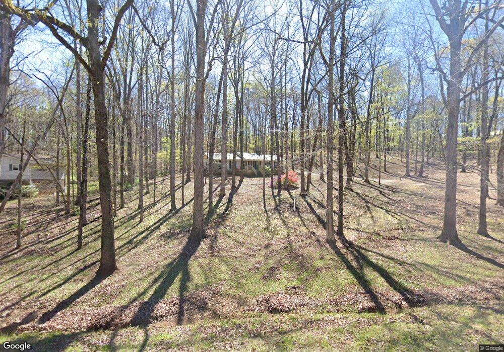
569 Newton Rd Lagrange, GA 30240
Estimated Value: $215,000 - $239,000
3
Beds
2
Baths
1,367
Sq Ft
$166/Sq Ft
Est. Value
About This Home
This home is located at 569 Newton Rd, Lagrange, GA 30240 and is currently estimated at $226,957, approximately $166 per square foot. 569 Newton Rd is a home located in Troup County with nearby schools including Long Cane Elementary School, Berta Weathersbee Elementary School, and Whitesville Road Elementary School.
Ownership History
Date
Name
Owned For
Owner Type
Purchase Details
Closed on
Dec 11, 1980
Sold by
Smith Jeffery G and Smith Donna N
Bought by
Longshore Joyce F
Current Estimated Value
Purchase Details
Closed on
Aug 18, 1977
Sold by
Randale S Johnson
Bought by
Smith Jeffery G and Smith Donna N
Purchase Details
Closed on
May 19, 1977
Sold by
Mcdowell & Assoc
Bought by
Randale S Johnson
Purchase Details
Closed on
Feb 11, 1977
Sold by
Rivercrest Est Ltd
Bought by
Mcdowell & Assoc
Purchase Details
Closed on
Feb 10, 1977
Sold by
Darden Darden and Darden Ketzky
Bought by
Rivercrest Est Ltd
Purchase Details
Closed on
Jan 1, 1973
Bought by
Darden Darden and Darden Ketzky
Purchase Details
Closed on
Jan 1, 1968
Create a Home Valuation Report for This Property
The Home Valuation Report is an in-depth analysis detailing your home's value as well as a comparison with similar homes in the area
Purchase History
| Date | Buyer | Sale Price | Title Company |
|---|---|---|---|
| Longshore Joyce F | $50,000 | -- | |
| Smith Jeffery G | $36,800 | -- | |
| Randale S Johnson | -- | -- | |
| Mcdowell & Assoc | -- | -- | |
| Rivercrest Est Ltd | -- | -- | |
| Darden Darden | -- | -- | |
| -- | -- | -- |
Source: Public Records
Tax History
| Year | Tax Paid | Tax Assessment Tax Assessment Total Assessment is a certain percentage of the fair market value that is determined by local assessors to be the total taxable value of land and additions on the property. | Land | Improvement |
|---|---|---|---|---|
| 2025 | $1,017 | $66,856 | $10,000 | $56,856 |
| 2024 | $885 | $59,336 | $10,000 | $49,336 |
| 2023 | $323 | $54,256 | $10,000 | $44,256 |
| 2022 | $723 | $52,296 | $10,000 | $42,296 |
| 2021 | $665 | $48,536 | $8,000 | $40,536 |
| 2020 | $1,163 | $48,536 | $8,000 | $40,536 |
| 2019 | $981 | $42,480 | $8,000 | $34,480 |
| 2018 | $970 | $42,120 | $5,800 | $36,320 |
| 2017 | $970 | $42,120 | $5,800 | $36,320 |
| 2016 | $971 | $42,140 | $5,800 | $36,340 |
| 2015 | $971 | $42,110 | $5,800 | $36,310 |
| 2014 | $913 | $40,198 | $5,800 | $34,398 |
| 2013 | -- | $42,218 | $5,800 | $36,418 |
Source: Public Records
Map
Nearby Homes
- 474 Newton Rd
- 101 Ivy Springs Dr
- 311 Cumberland Dr
- 113 Colonial Ct Unit 100
- 119 Plymouth Dr
- 104 Hidden Springs Dr
- 114 Riverbluff Dr
- 106 Landings Way
- 104 Landings Way
- 102 Landings Way
- 201 Lakeview Ct
- 109 Riverbluff Dr
- 101 Riverbluff Dr
- 135 Planters Ridge Dr
- 640 Hudson Rd
- 266 Glass Bridge Rd
- 104 Bridlewood Dr
- 213 Linda Ln
- 124 Foxdale Dr
- 440 & 448 Kimbrough Rd
- 555 Newton Rd
- 609 Newton Rd
- 539 Newton Rd
- 552 Newton Rd
- 635 Newton Rd
- 519 Newton Rd
- 528 Newton Rd
- 67 Old Newton Rd N
- 651 Newton Rd
- 594 Newton Rd
- 485 Newton Rd
- 208 Cumberland Dr
- 206 Cumberland Dr
- 204 Cumberland Dr
- 210 Cumberland Dr
- 671 Newton Rd
- 97 Old Newton Rd N
- 634 Newton Rd
- 11 River Point Dr
- 202 Cumberland Dr
Your Personal Tour Guide
Ask me questions while you tour the home.