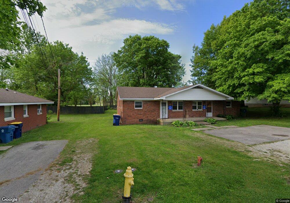
569 Pearl St Whiteland, IN 46184
Estimated Value: $139,089 - $202,000
1
Bed
1
Bath
696
Sq Ft
$232/Sq Ft
Est. Value
About This Home
This home is located at 569 Pearl St, Whiteland, IN 46184 and is currently estimated at $161,696, approximately $232 per square foot. 569 Pearl St is a home located in Johnson County with nearby schools including Whiteland Elementary School, Clark-Pleasant Middle School, and Whiteland Community High School.
Ownership History
Date
Name
Owned For
Owner Type
Purchase Details
Closed on
Aug 31, 2009
Sold by
Mitchell David Graves
Bought by
Vaught Devin
Current Estimated Value
Home Financials for this Owner
Home Financials are based on the most recent Mortgage that was taken out on this home.
Original Mortgage
$38,293
Outstanding Balance
$25,145
Interest Rate
5.27%
Mortgage Type
FHA
Estimated Equity
$136,551
Create a Home Valuation Report for This Property
The Home Valuation Report is an in-depth analysis detailing your home's value as well as a comparison with similar homes in the area
Home Values in the Area
Average Home Value in this Area
Purchase History
| Date | Buyer | Sale Price | Title Company |
|---|---|---|---|
| Vaught Devin | -- | First American Title Insuran |
Source: Public Records
Mortgage History
| Date | Status | Borrower | Loan Amount |
|---|---|---|---|
| Open | Vaught Devin | $38,293 |
Source: Public Records
Tax History Compared to Growth
Tax History
| Year | Tax Paid | Tax Assessment Tax Assessment Total Assessment is a certain percentage of the fair market value that is determined by local assessors to be the total taxable value of land and additions on the property. | Land | Improvement |
|---|---|---|---|---|
| 2025 | $1,935 | $111,000 | $34,300 | $76,700 |
| 2024 | $1,935 | $92,600 | $34,300 | $58,300 |
| 2023 | $1,895 | $90,800 | $34,300 | $56,500 |
| 2022 | $1,490 | $72,300 | $22,900 | $49,400 |
| 2021 | $1,377 | $66,600 | $22,900 | $43,700 |
| 2020 | $1,255 | $60,400 | $22,900 | $37,500 |
| 2019 | $1,255 | $60,400 | $22,900 | $37,500 |
| 2018 | $1,194 | $58,200 | $17,500 | $40,700 |
| 2017 | $1,175 | $58,100 | $17,500 | $40,600 |
| 2016 | $1,166 | $58,100 | $17,500 | $40,600 |
| 2014 | $353 | $58,300 | $19,600 | $38,700 |
| 2013 | $353 | $58,000 | $19,600 | $38,400 |
Source: Public Records
Map
Nearby Homes
- 650 E Pearl St
- 510 Greensprings Dr
- 180 Briar Hill Dr
- 111 Ames Dr
- 630 Walnut St
- 121 Ames Dr
- 131 Ames Dr
- 141 Ames Dr
- 320 Briar Hill Dr
- 101 Ames Dr
- Henley Plan at Saddlebrook Farms
- Fairfax Plan at Saddlebrook Farms - North
- 841 E Pearl St
- Henley Plan at Saddlebrook Farms - North
- Freeport Plan at Saddlebrook Farms - North
- Johnstown Plan at Saddlebrook Farms - North
- Dayton Plan at Saddlebrook Farms - North
- Chatham Plan at Saddlebrook Farms - North
- Dayton Plan at Saddlebrook Farms
- Harmony Plan at Saddlebrook Farms - North