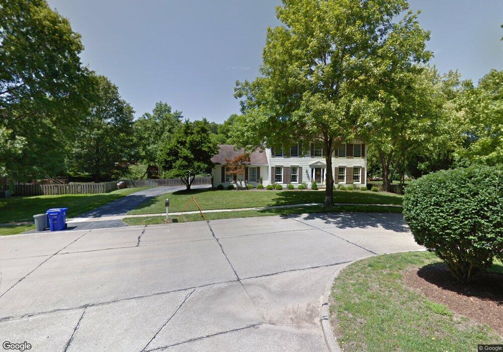
569 Red Rock Dr Ballwin, MO 63011
Estimated Value: $540,383 - $613,000
4
Beds
4
Baths
2,550
Sq Ft
$226/Sq Ft
Est. Value
About This Home
This home is located at 569 Red Rock Dr, Ballwin, MO 63011 and is currently estimated at $577,096, approximately $226 per square foot. 569 Red Rock Dr is a home located in St. Louis County with nearby schools including Babler Elementary School, Rockwood Valley Middle School, and Lafayette High School.
Ownership History
Date
Name
Owned For
Owner Type
Purchase Details
Closed on
May 12, 2009
Sold by
Parajon Robert and Parajon Andrea
Bought by
Mohan Michael and Mohan Margaret
Current Estimated Value
Home Financials for this Owner
Home Financials are based on the most recent Mortgage that was taken out on this home.
Original Mortgage
$237,600
Outstanding Balance
$150,040
Interest Rate
4.84%
Mortgage Type
Purchase Money Mortgage
Estimated Equity
$427,056
Purchase Details
Closed on
Jun 17, 1999
Sold by
Steve Leatherwood
Bought by
Parajon Robert and Parajon Andrea E
Home Financials for this Owner
Home Financials are based on the most recent Mortgage that was taken out on this home.
Original Mortgage
$213,600
Interest Rate
7.11%
Create a Home Valuation Report for This Property
The Home Valuation Report is an in-depth analysis detailing your home's value as well as a comparison with similar homes in the area
Home Values in the Area
Average Home Value in this Area
Purchase History
| Date | Buyer | Sale Price | Title Company |
|---|---|---|---|
| Mohan Michael | $297,000 | None Available | |
| Parajon Robert | $267,000 | -- |
Source: Public Records
Mortgage History
| Date | Status | Borrower | Loan Amount |
|---|---|---|---|
| Open | Mohan Michael | $237,600 | |
| Previous Owner | Parajon Robert | $213,600 | |
| Closed | Parajon Robert | $26,700 |
Source: Public Records
Tax History
| Year | Tax Paid | Tax Assessment Tax Assessment Total Assessment is a certain percentage of the fair market value that is determined by local assessors to be the total taxable value of land and additions on the property. | Land | Improvement |
|---|---|---|---|---|
| 2025 | $6,195 | $88,030 | $32,380 | $55,650 |
| 2024 | $6,195 | $89,090 | $22,270 | $66,820 |
| 2023 | $6,190 | $89,090 | $22,270 | $66,820 |
| 2022 | $5,599 | $74,840 | $14,170 | $60,670 |
| 2021 | $5,557 | $74,840 | $14,170 | $60,670 |
| 2020 | $5,718 | $73,420 | $11,820 | $61,600 |
| 2019 | $5,741 | $73,420 | $11,820 | $61,600 |
| 2018 | $5,198 | $62,680 | $14,170 | $48,510 |
| 2016 | $5,202 | $61,810 | $16,190 | $45,620 |
Source: Public Records
Map
Nearby Homes
- 16403 Prestwick Place Ln
- 1504 Englebrook Dr
- 16404 Clayton Rd
- 215 Cobblefield Ct
- 583 McBride Pointe Dr
- 1635 Clayton Spur Ct
- 1839 Sullivan Pointe Dr
- 101 Strecker Rd
- 2140 Dartmouth Gate Ct
- 1525 Virginia Dr
- 16421 Hollister Crossing Dr
- 18024 Cider Mill Dr
- 16532 Branchwood Dr
- 67 Strecker Rd
- 2529 Westglen Farms Dr
- 16555 Birch Forest Dr
- 2549 Westglen Farms Dr
- 1517 Froesel Dr
- 1909 Shepard Rd
- 1800 Wade Ct
- 560 Prospector Ridge Dr
- 563 Red Rock Dr
- 566 Prospector Ridge Dr
- 570 Red Rock Dr
- 554 Prospector Ridge Dr
- 564 Red Rock Dr
- 557 Red Rock Dr
- 572 Prospector Ridge Dr
- 560 Red Rock Dr
- 548 Prospector Ridge Dr
- 561 Prospector Ridge Dr
- 555 Prospector Ridge Dr
- 545 Red Rock Dr
- 567 Prospector Ridge Dr
- 542 Prospector Ridge Dr
- 549 Prospector Ridge Dr
- 556 Red Rock Dr
- 541 Red Rock Dr
- 521 Big Horn Basin Ct
- 543 Prospector Ridge Dr
Your Personal Tour Guide
Ask me questions while you tour the home.