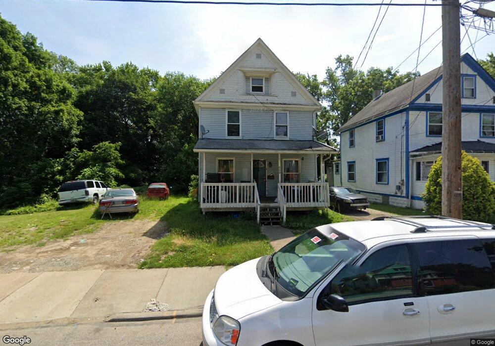
569 Rhodes Ave Akron, OH 44307
Sherbondy Hill NeighborhoodEstimated Value: $93,592 - $147,000
4
Beds
2
Baths
1,573
Sq Ft
$78/Sq Ft
Est. Value
About This Home
This home is located at 569 Rhodes Ave, Akron, OH 44307 and is currently estimated at $123,148, approximately $78 per square foot. 569 Rhodes Ave is a home located in Summit County with nearby schools including Towpath Trail High School, St. Vincent Elementary School, and St Vincent-St Mary High School.
Ownership History
Date
Name
Owned For
Owner Type
Purchase Details
Closed on
Nov 24, 1999
Sold by
Williams Julia A
Bought by
Williams William E
Current Estimated Value
Purchase Details
Closed on
Oct 14, 1998
Sold by
Inc Habitat For Humanity Of Greater Akr
Bought by
Williams William E and Williams Julia A
Home Financials for this Owner
Home Financials are based on the most recent Mortgage that was taken out on this home.
Original Mortgage
$18,383
Interest Rate
7.59%
Mortgage Type
Seller Take Back
Create a Home Valuation Report for This Property
The Home Valuation Report is an in-depth analysis detailing your home's value as well as a comparison with similar homes in the area
Home Values in the Area
Average Home Value in this Area
Purchase History
| Date | Buyer | Sale Price | Title Company |
|---|---|---|---|
| Williams William E | -- | -- | |
| Williams William E | $18,383 | Midland Commerce Group |
Source: Public Records
Mortgage History
| Date | Status | Borrower | Loan Amount |
|---|---|---|---|
| Previous Owner | Williams William E | $18,383 |
Source: Public Records
Tax History Compared to Growth
Tax History
| Year | Tax Paid | Tax Assessment Tax Assessment Total Assessment is a certain percentage of the fair market value that is determined by local assessors to be the total taxable value of land and additions on the property. | Land | Improvement |
|---|---|---|---|---|
| 2025 | $26,082 | $14,175 | $4,207 | $9,968 |
| 2024 | $832 | $14,175 | $4,207 | $9,968 |
| 2023 | $26,082 | $14,175 | $4,207 | $9,968 |
| 2022 | $644 | $8,338 | $2,475 | $5,863 |
| 2021 | $644 | $8,338 | $2,475 | $5,863 |
| 2020 | $636 | $8,340 | $2,480 | $5,860 |
| 2019 | $2,120 | $14,730 | $3,770 | $10,960 |
| 2018 | $1,196 | $14,730 | $3,770 | $10,960 |
| 2017 | $1,233 | $14,730 | $3,770 | $10,960 |
| 2016 | $1,233 | $14,990 | $3,770 | $11,220 |
| 2015 | $1,233 | $14,990 | $3,770 | $11,220 |
| 2014 | $1,168 | $14,990 | $3,770 | $11,220 |
| 2013 | $1,202 | $15,790 | $3,770 | $12,020 |
Source: Public Records
Map
Nearby Homes
- 577 Rhodes Ave
- 483 Bishop St
- 817 Raymond St
- 644 Diagonal Rd
- 568 Auld Farm Cir
- 639 Bellevue Ave
- 670 Euclid Ave
- 478 Copley Rd
- 650 Easter Ave
- 524 Auld Farm Cir
- 385 Campbell St
- 593 Hoye Ave
- 453 Briarwood Dr
- 238 Gale St
- 243 S Balch St
- 605 East Ave
- 263 Millcreek Dr Unit 263
- 677 Vernon Odom Blvd
- 614 East Ave
- 949 Raymond St
- 571 Rhodes Ave
- 567 Rhodes Ave
- 565 Rhodes Ave
- 563 Rhodes Ave
- 501 S Rhodes Ave
- 509 S Rhodes Ave
- 545 S Rhodes Ave
- 583 Rhodes Ave
- 553 Rhodes Ave
- 566 Rhodes Ave
- 560 Douglas St
- 562 Rhodes Ave
- 551 Rhodes Ave
- 574 Rhodes Ave
- 582 Rhodes Ave
- 560 Rhodes Ave
- 545 Rhodes Ave
- 545 Rhodes Ave
- 558 Douglas St
- 552 Rhodes Ave