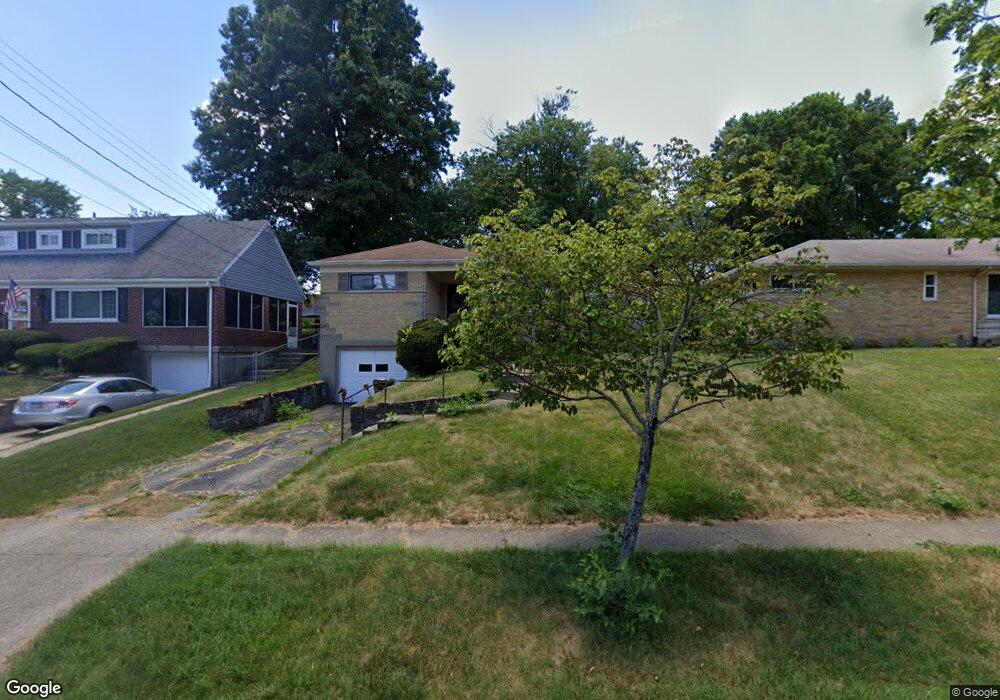
569 S Delridge Dr Cincinnati, OH 45238
West Price Hill NeighborhoodEstimated Value: $169,995 - $179,000
3
Beds
2
Baths
1,224
Sq Ft
$143/Sq Ft
Est. Value
About This Home
This home is located at 569 S Delridge Dr, Cincinnati, OH 45238 and is currently estimated at $175,249, approximately $143 per square foot. 569 S Delridge Dr is a home located in Hamilton County with nearby schools including Carson School, Gilbert A. Dater High School, and Western Hills High School.
Ownership History
Date
Name
Owned For
Owner Type
Purchase Details
Closed on
Dec 6, 2011
Sold by
Kunnen Elizabeth
Bought by
Monk Patrick M
Current Estimated Value
Home Financials for this Owner
Home Financials are based on the most recent Mortgage that was taken out on this home.
Original Mortgage
$61,402
Outstanding Balance
$41,720
Interest Rate
3.87%
Mortgage Type
FHA
Estimated Equity
$133,529
Create a Home Valuation Report for This Property
The Home Valuation Report is an in-depth analysis detailing your home's value as well as a comparison with similar homes in the area
Home Values in the Area
Average Home Value in this Area
Purchase History
| Date | Buyer | Sale Price | Title Company |
|---|---|---|---|
| Monk Patrick M | $63,000 | Attorney |
Source: Public Records
Mortgage History
| Date | Status | Borrower | Loan Amount |
|---|---|---|---|
| Open | Monk Patrick M | $61,402 |
Source: Public Records
Tax History Compared to Growth
Tax History
| Year | Tax Paid | Tax Assessment Tax Assessment Total Assessment is a certain percentage of the fair market value that is determined by local assessors to be the total taxable value of land and additions on the property. | Land | Improvement |
|---|---|---|---|---|
| 2024 | $2,255 | $37,566 | $6,038 | $31,528 |
| 2023 | $2,306 | $37,566 | $6,038 | $31,528 |
| 2022 | $1,751 | $25,529 | $5,999 | $19,530 |
| 2021 | $1,681 | $25,529 | $5,999 | $19,530 |
| 2020 | $1,730 | $25,529 | $5,999 | $19,530 |
| 2019 | $1,720 | $23,209 | $5,453 | $17,756 |
| 2018 | $1,723 | $23,209 | $5,453 | $17,756 |
| 2017 | $1,636 | $23,209 | $5,453 | $17,756 |
| 2016 | $1,577 | $22,051 | $5,828 | $16,223 |
| 2015 | $1,422 | $22,051 | $5,828 | $16,223 |
| 2014 | $1,432 | $22,051 | $5,828 | $16,223 |
| 2013 | $2,029 | $30,783 | $6,622 | $24,161 |
Source: Public Records
Map
Nearby Homes
- 4300 Foley Rd
- 4330 Schulte Dr
- 4260 Delridge Dr
- 4305 Sunburst Ln
- 4511 Carnation Ave
- 4667 Shadylawn Terrace
- 617 Trenton Ave
- 4247 Eighth St W
- 4240 Fehr Rd
- 4226 Skylark Dr
- 700 Trenton Ave
- 510 Angelnook Dr
- 451 Kitty Ln
- 4419 Ridgeview Ave
- 816 Pedretti Ave
- 815 Pedretti Ave
- 4747 Basil Ln
- 440 Pedretti Ave
- 4082 Mardon Place
- 575 Greenwell Ave
- 563 S Delridge Dr
- 561 S Delridge Dr
- 577 S Delridge Dr
- 577 S Delridge Dr
- 566 Rentz Place
- 562 Rentz Place
- 555 S Delridge Dr
- 574 Rentz Place
- 558 Rentz Place
- 578 Rentz Place
- 572 S Delridge Dr
- 585 S Delridge Dr
- 554 Rentz Place
- 578 S Delridge Dr
- 551 S Delridge Dr
- 576 S Delridge Dr
- 582 Rentz Place
- 558 S Delridge Dr
- 550 Rentz Place
- 552 S Delridge Dr