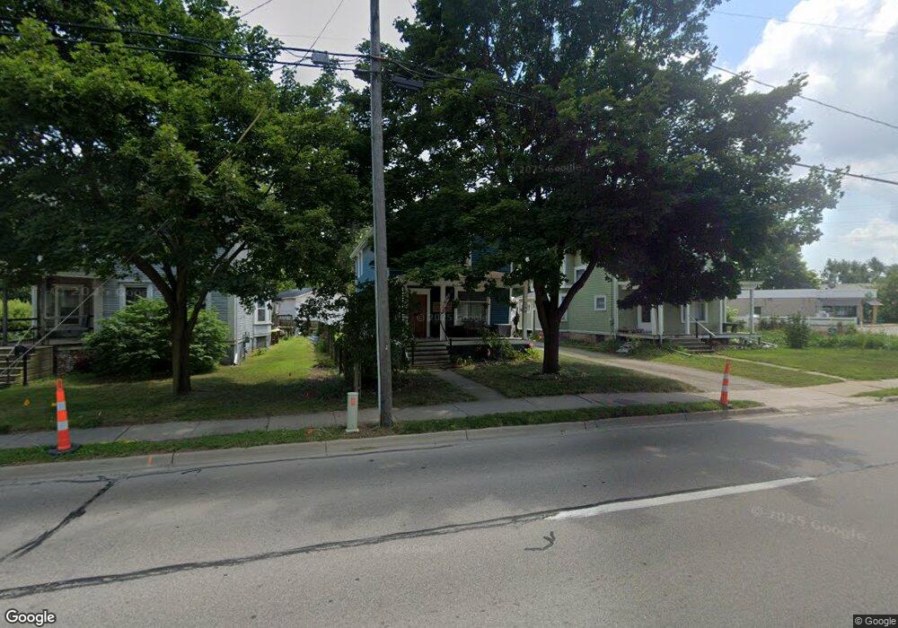
569 S Main St Adrian, MI 49221
Estimated Value: $102,000 - $142,000
3
Beds
2
Baths
1,698
Sq Ft
$71/Sq Ft
Est. Value
About This Home
This home is located at 569 S Main St, Adrian, MI 49221 and is currently estimated at $120,412, approximately $70 per square foot. 569 S Main St is a home located in Lenawee County with nearby schools including Adrian High School, Berean Baptist Academy, and St. Stephen Lutheran School.
Ownership History
Date
Name
Owned For
Owner Type
Purchase Details
Closed on
Jun 11, 2021
Sold by
Lilly Kyle
Bought by
Smith Dean and Smith Shannon
Current Estimated Value
Home Financials for this Owner
Home Financials are based on the most recent Mortgage that was taken out on this home.
Original Mortgage
$41,239
Outstanding Balance
$37,337
Interest Rate
2.9%
Mortgage Type
FHA
Estimated Equity
$83,075
Purchase Details
Closed on
Feb 5, 2008
Sold by
The Bank Of New York Trust Company A N
Bought by
Lilly Kyle
Home Financials for this Owner
Home Financials are based on the most recent Mortgage that was taken out on this home.
Original Mortgage
$25,415
Interest Rate
5.51%
Mortgage Type
New Conventional
Purchase Details
Closed on
Aug 31, 2006
Sold by
Sanchez Anthony and Sanchez Sherry
Bought by
Jpmorgan Chase Bank N A
Create a Home Valuation Report for This Property
The Home Valuation Report is an in-depth analysis detailing your home's value as well as a comparison with similar homes in the area
Home Values in the Area
Average Home Value in this Area
Purchase History
| Date | Buyer | Sale Price | Title Company |
|---|---|---|---|
| Smith Dean | $42,000 | None Available | |
| Lilly Kyle | $29,900 | E Title Agency Inc | |
| Jpmorgan Chase Bank N A | $90,423 | None Available |
Source: Public Records
Mortgage History
| Date | Status | Borrower | Loan Amount |
|---|---|---|---|
| Open | Smith Dean | $41,239 | |
| Previous Owner | Lilly Kyle | $25,415 |
Source: Public Records
Tax History Compared to Growth
Tax History
| Year | Tax Paid | Tax Assessment Tax Assessment Total Assessment is a certain percentage of the fair market value that is determined by local assessors to be the total taxable value of land and additions on the property. | Land | Improvement |
|---|---|---|---|---|
| 2025 | $1,873 | $46,400 | $0 | $0 |
| 2024 | $1,594 | $41,000 | $0 | $0 |
| 2023 | $1,802 | $37,600 | $0 | $0 |
| 2022 | $1,435 | $35,100 | $0 | $0 |
| 2021 | $1,586 | $32,400 | $0 | $0 |
| 2020 | $1,697 | $32,100 | $0 | $0 |
| 2019 | $71,329 | $27,100 | $0 | $0 |
| 2018 | $1,752 | $32,313 | $0 | $0 |
| 2017 | $1,598 | $25,575 | $0 | $0 |
| 2016 | $1,556 | $26,042 | $0 | $0 |
| 2014 | -- | $24,300 | $0 | $0 |
Source: Public Records
Map
Nearby Homes
- 2000 W Beecher St
- 415 W Beecher St
- 227 Jordan St
- 637 W Beecher St
- 416 Allis St
- 456 State St
- 511 State St
- 313 Rice St
- 839 Dennis St
- 110 E South St
- 705 College Ave
- 228 W Church St
- 143 Park St
- 962 Vine St
- 980 State St
- 301 Ohio River Dr Unit LOT 52
- 301 Hidden River Dr
- 1035 Scottdale Dr
- 1062 Oram Dr
- 308 Toledo St