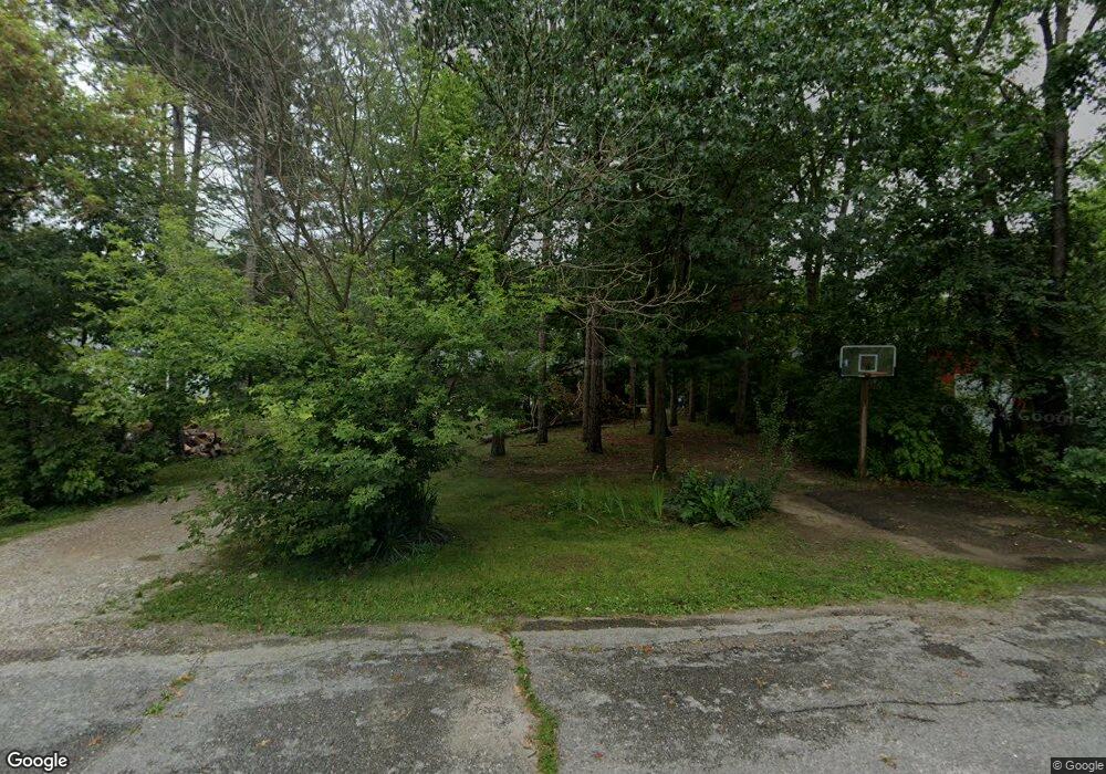
569 S Rosewood Jackson, MI 49201
Estimated Value: $234,000 - $267,000
3
Beds
2
Baths
1,248
Sq Ft
$205/Sq Ft
Est. Value
About This Home
This home is located at 569 S Rosewood, Jackson, MI 49201 and is currently estimated at $255,641, approximately $204 per square foot. 569 S Rosewood is a home located in Jackson County with nearby schools including Keicher Elementary School, Arnold Elementary School, and Michigan Center Junior/Senior High School.
Ownership History
Date
Name
Owned For
Owner Type
Purchase Details
Closed on
May 30, 2017
Sold by
Kukulka Angel and Huffman Angel
Bought by
Huffman Philip L
Current Estimated Value
Purchase Details
Closed on
Jul 15, 2005
Sold by
Spalding Albert W and Spalding Bessie A
Bought by
Huffman Philip Leslie and Huffman Angel Renae
Home Financials for this Owner
Home Financials are based on the most recent Mortgage that was taken out on this home.
Original Mortgage
$132,000
Outstanding Balance
$68,906
Interest Rate
5.66%
Mortgage Type
Fannie Mae Freddie Mac
Estimated Equity
$186,735
Create a Home Valuation Report for This Property
The Home Valuation Report is an in-depth analysis detailing your home's value as well as a comparison with similar homes in the area
Home Values in the Area
Average Home Value in this Area
Purchase History
| Date | Buyer | Sale Price | Title Company |
|---|---|---|---|
| Huffman Philip L | -- | Attorney | |
| Huffman Philip Leslie | $165,000 | Title Source Inc |
Source: Public Records
Mortgage History
| Date | Status | Borrower | Loan Amount |
|---|---|---|---|
| Open | Huffman Philip Leslie | $132,000 |
Source: Public Records
Tax History Compared to Growth
Tax History
| Year | Tax Paid | Tax Assessment Tax Assessment Total Assessment is a certain percentage of the fair market value that is determined by local assessors to be the total taxable value of land and additions on the property. | Land | Improvement |
|---|---|---|---|---|
| 2025 | $2,224 | $125,494 | $0 | $0 |
| 2024 | $1,350 | $124,196 | $0 | $0 |
| 2023 | $1,285 | $111,896 | $0 | $0 |
| 2022 | $2,032 | $99,608 | $0 | $0 |
| 2021 | $2,001 | $85,550 | $0 | $0 |
| 2020 | $1,984 | $82,543 | $0 | $0 |
| 2019 | $1,928 | $70,821 | $0 | $0 |
| 2018 | $1,883 | $62,484 | $6,655 | $55,829 |
| 2017 | $1,769 | $60,332 | $0 | $0 |
| 2016 | $1,110 | $60,739 | $60,739 | $0 |
| 2015 | -- | $64,945 | $64,945 | $0 |
| 2014 | -- | $64,904 | $64,904 | $0 |
| 2013 | -- | $64,904 | $64,904 | $0 |
Source: Public Records
Map
Nearby Homes
- 7400 E Michigan Ave
- 7801 E Michigan Ave
- 1750 Fox Rd
- 0 Ninth St Unit 50176647
- 0 Huggins Unit 25000799
- 413 7th St
- 423 Grand St
- 519 7th St
- 657 Lane Dr
- 5031 Pine Dr
- 221 Grand St
- 238 Holmes Ave
- 7430 Lee Rd
- VL Stillwell Ave
- 6803 Napoleon Rd
- 240 Stillwell Ave
- 123 N Lakeside Dr
- 423 S Lakeside Dr
- 241 Center St
- 430 Jefferson Dr