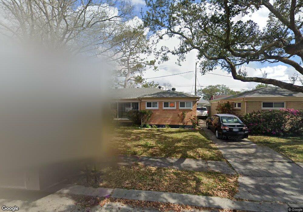
569 Smith Dr Metairie, LA 70005
Bonnabel Place NeighborhoodEstimated Value: $261,942 - $355,000
3
Beds
2
Baths
1,396
Sq Ft
$217/Sq Ft
Est. Value
About This Home
This home is located at 569 Smith Dr, Metairie, LA 70005 and is currently estimated at $303,486, approximately $217 per square foot. 569 Smith Dr is a home located in Jefferson Parish with nearby schools including Marie B. Riviere Elementary School, Metairie Academy For Advanced Studies, and J.D. Meisler Middle School.
Ownership History
Date
Name
Owned For
Owner Type
Purchase Details
Closed on
Jun 15, 2010
Sold by
Bernadas Succ Charles R
Bought by
Whitney Susan P
Current Estimated Value
Home Financials for this Owner
Home Financials are based on the most recent Mortgage that was taken out on this home.
Original Mortgage
$117,600
Outstanding Balance
$78,661
Interest Rate
4.93%
Mortgage Type
New Conventional
Estimated Equity
$224,825
Create a Home Valuation Report for This Property
The Home Valuation Report is an in-depth analysis detailing your home's value as well as a comparison with similar homes in the area
Home Values in the Area
Average Home Value in this Area
Purchase History
| Date | Buyer | Sale Price | Title Company |
|---|---|---|---|
| Whitney Susan P | $147,000 | -- |
Source: Public Records
Mortgage History
| Date | Status | Borrower | Loan Amount |
|---|---|---|---|
| Open | Whitney Susan P | $117,600 |
Source: Public Records
Tax History Compared to Growth
Tax History
| Year | Tax Paid | Tax Assessment Tax Assessment Total Assessment is a certain percentage of the fair market value that is determined by local assessors to be the total taxable value of land and additions on the property. | Land | Improvement |
|---|---|---|---|---|
| 2024 | $556 | $15,910 | $11,340 | $4,570 |
| 2023 | $2,010 | $15,280 | $11,340 | $3,940 |
| 2022 | $1,958 | $15,280 | $11,340 | $3,940 |
| 2021 | $1,818 | $15,280 | $11,340 | $3,940 |
| 2020 | $1,805 | $15,280 | $11,340 | $3,940 |
| 2019 | $1,856 | $15,280 | $10,800 | $4,480 |
| 2018 | $1,733 | $15,280 | $10,800 | $4,480 |
| 2017 | $1,733 | $15,280 | $10,800 | $4,480 |
| 2016 | $1,699 | $15,280 | $10,800 | $4,480 |
| 2015 | $1,653 | $14,700 | $9,800 | $4,900 |
| 2014 | $1,653 | $14,700 | $9,800 | $4,900 |
Source: Public Records
Map
Nearby Homes
- 601 Andrews Ave
- 500-506 Andrews Ave
- 421 Oaklawn Dr
- Lots 41-42 Focis St
- Lot 25 26 Focis St
- 429 Aris Ave
- 513 Oaklawn Dr
- 632 Rosa Ave
- 510 Nursery Ave
- 401 E William David Pkwy
- 524 Papworth Ave
- 800 Rue Rampart None Unit 230
- none Canal St
- 800 Rue Rampart Unit 230
- 800 Rue Rampart Unit 103
- 742 Carrollton Ave