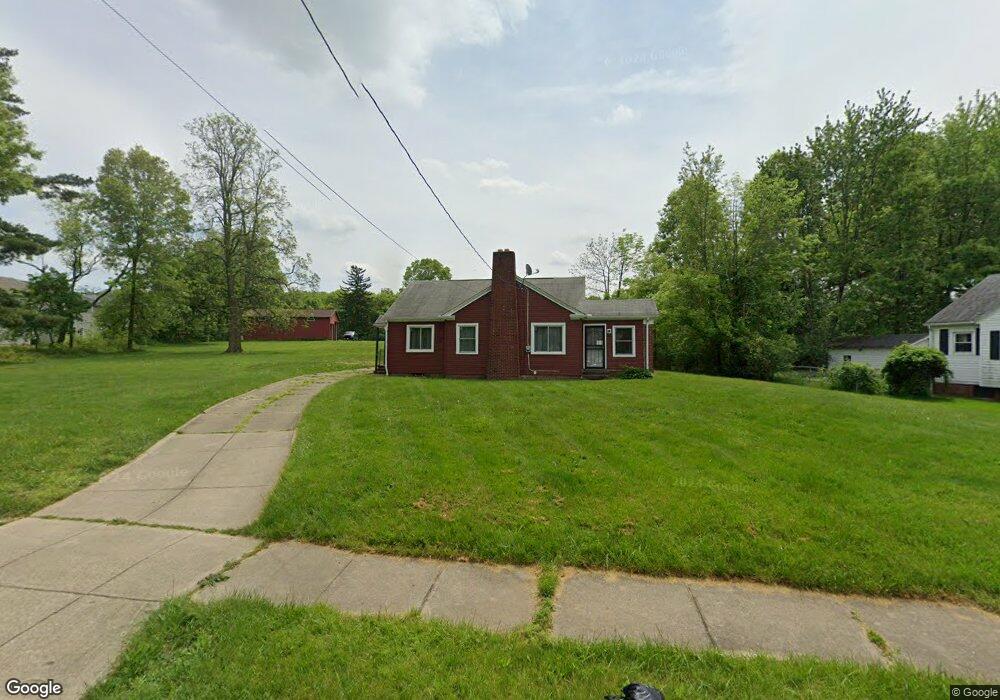
569 Wildwood Ave Akron, OH 44320
West Akron NeighborhoodEstimated Value: $83,000 - $121,000
3
Beds
2
Baths
1,005
Sq Ft
$98/Sq Ft
Est. Value
About This Home
This home is located at 569 Wildwood Ave, Akron, OH 44320 and is currently estimated at $98,964, approximately $98 per square foot. 569 Wildwood Ave is a home located in Summit County with nearby schools including Towpath Trail High School, St. Vincent Elementary School, and St Vincent-St Mary High School.
Ownership History
Date
Name
Owned For
Owner Type
Purchase Details
Closed on
Dec 20, 2013
Sold by
Ryant Deborah
Bought by
The Akron Alliance Fellowship
Current Estimated Value
Purchase Details
Closed on
Oct 19, 2004
Sold by
El Sonja and Weaver Robert C
Bought by
Ryant Deborah
Home Financials for this Owner
Home Financials are based on the most recent Mortgage that was taken out on this home.
Original Mortgage
$60,000
Interest Rate
7.65%
Mortgage Type
Purchase Money Mortgage
Purchase Details
Closed on
Feb 7, 2002
Sold by
Green Ionie L
Bought by
El Sonja
Create a Home Valuation Report for This Property
The Home Valuation Report is an in-depth analysis detailing your home's value as well as a comparison with similar homes in the area
Home Values in the Area
Average Home Value in this Area
Purchase History
| Date | Buyer | Sale Price | Title Company |
|---|---|---|---|
| The Akron Alliance Fellowship | $22,000 | Kingdom Title | |
| Ryant Deborah | $75,000 | Chicago Title Insurance Co | |
| El Sonja | $25,000 | Chicago Title Insurance Comp |
Source: Public Records
Mortgage History
| Date | Status | Borrower | Loan Amount |
|---|---|---|---|
| Previous Owner | Ryant Deborah | $60,000 |
Source: Public Records
Tax History Compared to Growth
Tax History
| Year | Tax Paid | Tax Assessment Tax Assessment Total Assessment is a certain percentage of the fair market value that is determined by local assessors to be the total taxable value of land and additions on the property. | Land | Improvement |
|---|---|---|---|---|
| 2025 | $1,365 | $13,297 | $5,331 | $7,966 |
| 2024 | $917 | $13,297 | $5,331 | $7,966 |
| 2023 | $1,365 | $13,297 | $5,331 | $7,966 |
| 2022 | $853 | $9,499 | $3,808 | $5,691 |
| 2021 | $854 | $9,499 | $3,808 | $5,691 |
| 2020 | $844 | $9,500 | $3,810 | $5,690 |
| 2019 | $939 | $9,940 | $4,860 | $5,080 |
| 2018 | $929 | $9,940 | $4,860 | $5,080 |
| 2017 | $951 | $9,940 | $4,860 | $5,080 |
| 2016 | $1,191 | $10,070 | $4,860 | $5,210 |
| 2015 | $951 | $10,070 | $4,860 | $5,210 |
| 2014 | $945 | $10,070 | $4,860 | $5,210 |
| 2013 | $1,807 | $17,810 | $8,840 | $8,970 |
Source: Public Records
Map
Nearby Homes
- 575 Fernwood Dr
- 524 Auld Farm Cir
- 568 Auld Farm Cir
- 644 Diagonal Rd
- 605 East Ave
- 614 East Ave
- 573 Madison Ave
- 482 Homer Ave
- 686 East Ave
- 867 Orrin St
- 875 Orrin St
- 453 Briarwood Dr
- 414 Beechwood Dr
- 888 Peckham St
- 636 Noble Ave
- 359 Beechwood Dr
- 923 Lawton St
- 621 Noah Ave
- 885 Bye St Unit 887
- 774 Storer Ave
- 579 Wildwood Ave
- 488 Auld Farm Cir
- 484 Auld Farm Cir
- 564 Wildwood Ave
- 557 Wildwood Ave
- 580 Wildwood Ave
- 480 Auld Farm Cir
- 591 Wildwood Ave
- 560 Wildwood Ave
- 553 Wildwood Ave
- 556 Wildwood Ave
- 476 Auld Farm Cir
- 549 Wildwood Ave
- 492 Auld Farm Cir
- 549 Wildwood Ave
- 571 Fernwood Dr
- 595 Wildwood Ave
- 472 Auld Farm Cir
- 550 Wildwood Ave
- 561 Hoye Ave