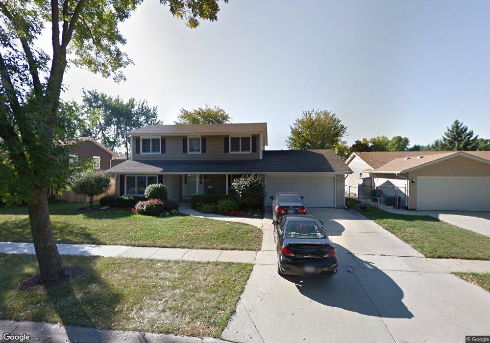
569 Yarmouth Rd Elk Grove Village, IL 60007
Elk Grove Village East NeighborhoodEstimated Value: $468,890 - $515,000
4
Beds
3
Baths
2,088
Sq Ft
$233/Sq Ft
Est. Value
About This Home
This home is located at 569 Yarmouth Rd, Elk Grove Village, IL 60007 and is currently estimated at $485,723, approximately $232 per square foot. 569 Yarmouth Rd is a home located in Cook County with nearby schools including Admiral Byrd Elementary School, Grove Jr High School, and Elk Grove High School.
Ownership History
Date
Name
Owned For
Owner Type
Purchase Details
Closed on
Jul 9, 2024
Sold by
Schadd Dwayne and Schadd Sandra
Bought by
Schadd Family Revocable Living Trust and Schadd
Current Estimated Value
Purchase Details
Closed on
Aug 25, 1995
Sold by
Carlson Maria
Bought by
Schadd Dwayne and Schadd Sandra
Home Financials for this Owner
Home Financials are based on the most recent Mortgage that was taken out on this home.
Original Mortgage
$144,000
Interest Rate
7.8%
Create a Home Valuation Report for This Property
The Home Valuation Report is an in-depth analysis detailing your home's value as well as a comparison with similar homes in the area
Home Values in the Area
Average Home Value in this Area
Purchase History
| Date | Buyer | Sale Price | Title Company |
|---|---|---|---|
| Schadd Family Revocable Living Trust | -- | None Listed On Document | |
| Schadd Dwayne | $180,000 | -- |
Source: Public Records
Mortgage History
| Date | Status | Borrower | Loan Amount |
|---|---|---|---|
| Previous Owner | Schadd Dwayne | $144,000 |
Source: Public Records
Tax History Compared to Growth
Tax History
| Year | Tax Paid | Tax Assessment Tax Assessment Total Assessment is a certain percentage of the fair market value that is determined by local assessors to be the total taxable value of land and additions on the property. | Land | Improvement |
|---|---|---|---|---|
| 2024 | $7,864 | $34,283 | $7,013 | $27,270 |
| 2023 | $7,540 | $34,283 | $7,013 | $27,270 |
| 2022 | $7,540 | $34,283 | $7,013 | $27,270 |
| 2021 | $5,477 | $23,060 | $4,331 | $18,729 |
| 2020 | $5,337 | $23,060 | $4,331 | $18,729 |
| 2019 | $5,403 | $25,623 | $4,331 | $21,292 |
| 2018 | $7,293 | $30,021 | $3,712 | $26,309 |
| 2017 | $7,257 | $30,021 | $3,712 | $26,309 |
| 2016 | $7,343 | $31,360 | $3,712 | $27,648 |
| 2015 | $5,957 | $24,869 | $3,300 | $21,569 |
| 2014 | $5,889 | $24,869 | $3,300 | $21,569 |
| 2013 | $5,740 | $24,869 | $3,300 | $21,569 |
Source: Public Records
Map
Nearby Homes
- 579 Bristol Ln
- 577 Lowestoft Ln
- 716 Clover Hill Ct
- 1057 Talbots Ln Unit A
- 520 Biesterfield Rd Unit D318
- 815 Leicester Rd Unit A211
- 898 Wellington Ave Unit 202
- 850 Wellington Ave Unit 304
- 840 Wellington Ave Unit 315
- 840 Wellington Ave Unit 318
- 805 Leicester Rd Unit B118
- 805 Leicester Rd Unit B320
- 805 Leicester Rd Unit B105
- 1057 Savoy Ct Unit 221713
- 1297 Old Mill Ln Unit 534
- 700 Wellington Ave Unit 406
- 700 Wellington Ave Unit 419
- 258 Bay Dr
- 735 Wellington Ave Unit U2
- 115 Boardwalk St Unit 2E
- 577 Yarmouth Rd
- 561 Yarmouth Rd
- 574 Gateshead N
- 566 Gateshead N
- 584 Gateshead N
- 585 Yarmouth Rd
- 553 Yarmouth Rd
- 570 Yarmouth Rd
- 554 Gateshead N
- 562 Yarmouth Rd
- 578 Yarmouth Rd
- 592 Gateshead N
- 554 Yarmouth Rd
- 586 Yarmouth Rd
- 542 Gateshead N
- 545 Yarmouth Rd
- 599 Yarmouth Rd
- 596 Gateshead N
- 546 Yarmouth Rd
- 575 Gateshead N