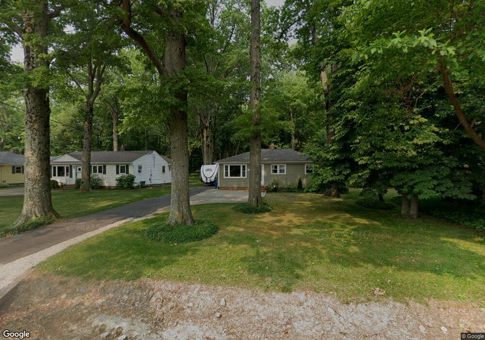
5690 Bradley Rd North Olmsted, OH 44070
Estimated Value: $238,233 - $270,000
3
Beds
1
Bath
988
Sq Ft
$258/Sq Ft
Est. Value
About This Home
This home is located at 5690 Bradley Rd, North Olmsted, OH 44070 and is currently estimated at $254,558, approximately $257 per square foot. 5690 Bradley Rd is a home located in Cuyahoga County with nearby schools including Chestnut Intermediate Elementary School, Pine Intermediate School, and North Olmsted Middle School.
Ownership History
Date
Name
Owned For
Owner Type
Purchase Details
Closed on
Sep 19, 2007
Sold by
Grant Robert L and Grant Jerilyn J
Bought by
Pace Kenneth J
Current Estimated Value
Home Financials for this Owner
Home Financials are based on the most recent Mortgage that was taken out on this home.
Original Mortgage
$14,700
Outstanding Balance
$2,469
Interest Rate
6.55%
Mortgage Type
Unknown
Estimated Equity
$252,089
Purchase Details
Closed on
Dec 8, 1993
Sold by
Tonn Mabel F
Bought by
Grant Robert L
Purchase Details
Closed on
Aug 16, 1985
Sold by
Tonn Mabel F and Tonn Hazel W
Bought by
Tonn Mabel F
Purchase Details
Closed on
Jan 1, 1975
Bought by
Tonn Mabel F and Tonn Hazel W
Create a Home Valuation Report for This Property
The Home Valuation Report is an in-depth analysis detailing your home's value as well as a comparison with similar homes in the area
Home Values in the Area
Average Home Value in this Area
Purchase History
| Date | Buyer | Sale Price | Title Company |
|---|---|---|---|
| Pace Kenneth J | $147,000 | Chicago Title Ins Co | |
| Grant Robert L | $75,000 | -- | |
| Tonn Mabel F | -- | -- | |
| Tonn Mabel F | -- | -- |
Source: Public Records
Mortgage History
| Date | Status | Borrower | Loan Amount |
|---|---|---|---|
| Open | Pace Kenneth J | $14,700 | |
| Open | Pace Kenneth J | $117,600 |
Source: Public Records
Tax History Compared to Growth
Tax History
| Year | Tax Paid | Tax Assessment Tax Assessment Total Assessment is a certain percentage of the fair market value that is determined by local assessors to be the total taxable value of land and additions on the property. | Land | Improvement |
|---|---|---|---|---|
| 2024 | $4,845 | $70,700 | $14,980 | $55,720 |
| 2023 | $4,085 | $50,020 | $14,670 | $35,350 |
| 2022 | $4,064 | $50,020 | $14,670 | $35,350 |
| 2021 | $3,678 | $50,020 | $14,670 | $35,350 |
| 2020 | $3,377 | $40,670 | $11,940 | $28,740 |
| 2019 | $3,286 | $116,200 | $34,100 | $82,100 |
| 2018 | $3,264 | $40,670 | $11,940 | $28,740 |
| 2017 | $3,249 | $36,510 | $11,450 | $25,060 |
| 2016 | $3,221 | $36,510 | $11,450 | $25,060 |
| 2015 | $3,146 | $36,510 | $11,450 | $25,060 |
| 2014 | $3,146 | $35,460 | $11,100 | $24,360 |
Source: Public Records
Map
Nearby Homes
- 5608 Barton Rd
- 5560 Barton Rd Unit 511
- 5950 Bayberry Cir
- 5366 Barton Rd
- 30630 Lorain Rd
- 5652 Rock Point Cir
- 5721 Hickory Trail
- 31134 Lorain Rd
- 32583 Center Ridge Rd
- 6580 Barton Rd
- 29408 Stewart Dr
- 6281 Christman Dr
- 5461 Wellesley Ave
- 5828 Tree Moss Ln
- 32567 Oakhurst Dr
- v/l Broxbourne Rd
- 29590 Broxbourne Rd
- 4830 Bradley Rd
- 6617 Sutton Dr
- 0 Stearns Rd
- 5704 Bradley Rd
- 5680 Bradley Rd
- 5716 Bradley Rd
- 5670 Bradley Rd
- 5732 Bradley Rd
- 5740 Bradley Rd
- V/L Bradley Rd
- 5750 Bradley Rd
- 5760 Bradley Rd
- 5751 Bradley Rd
- 5770 Bradley Rd
- 5763 Bradley Rd
- 5782 Bradley Rd
- 5775 Bradley Rd
- 5747 Barton Rd
- 5737 Barton Rd
- 5794 Bradley Rd
- 5757 Barton Rd
- 5717 Barton Rd
- 5777 Barton Rd