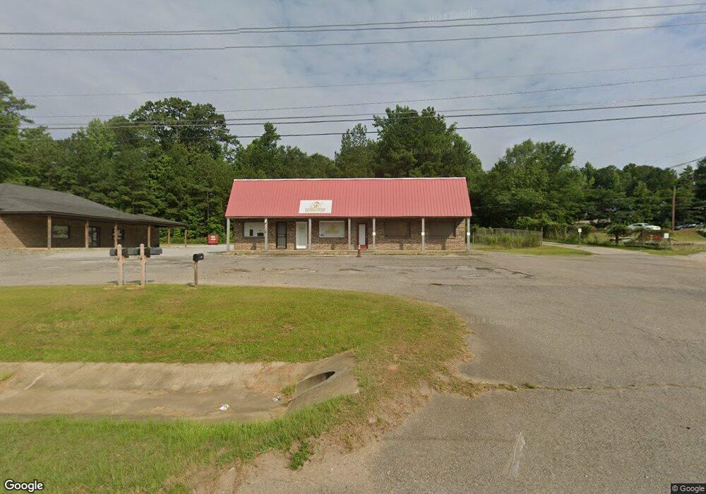
5690 Highway 43 N Unit A Northport, AL 35473
Estimated Value: $626,816
--
Bed
1
Bath
600
Sq Ft
$1,045/Sq Ft
Est. Value
About This Home
This home is located at 5690 Highway 43 N Unit A, Northport, AL 35473 and is currently estimated at $626,816, approximately $1,044 per square foot. 5690 Highway 43 N Unit A is a home located in Tuscaloosa County with nearby schools including Crestmont Elementary School, Echols Middle School, and Tuscaloosa County High School.
Ownership History
Date
Name
Owned For
Owner Type
Purchase Details
Closed on
Jan 15, 2025
Sold by
Lake Karen
Bought by
5690 Highway 43 Llc
Current Estimated Value
Purchase Details
Closed on
Jan 11, 2017
Sold by
Madison Phillip M
Bought by
Lake Brian and Lake Karen
Home Financials for this Owner
Home Financials are based on the most recent Mortgage that was taken out on this home.
Original Mortgage
$210,000
Interest Rate
4.16%
Mortgage Type
Commercial
Purchase Details
Closed on
Jan 3, 2017
Sold by
Phillips Stanley
Bought by
Madison Phillip M and Madison Sheila G
Home Financials for this Owner
Home Financials are based on the most recent Mortgage that was taken out on this home.
Original Mortgage
$210,000
Interest Rate
4.16%
Mortgage Type
Commercial
Create a Home Valuation Report for This Property
The Home Valuation Report is an in-depth analysis detailing your home's value as well as a comparison with similar homes in the area
Home Values in the Area
Average Home Value in this Area
Purchase History
| Date | Buyer | Sale Price | Title Company |
|---|---|---|---|
| 5690 Highway 43 Llc | $615,000 | None Listed On Document | |
| 5690 Highway 43 Llc | $615,000 | None Listed On Document | |
| Lake Brian | $210,000 | -- | |
| Lake Brian | $210,000 | -- | |
| Madison Phillip M | $200,000 | -- |
Source: Public Records
Mortgage History
| Date | Status | Borrower | Loan Amount |
|---|---|---|---|
| Previous Owner | Lake Brian | $210,000 |
Source: Public Records
Tax History Compared to Growth
Tax History
| Year | Tax Paid | Tax Assessment Tax Assessment Total Assessment is a certain percentage of the fair market value that is determined by local assessors to be the total taxable value of land and additions on the property. | Land | Improvement |
|---|---|---|---|---|
| 2024 | $3,110 | $115,200 | $7,560 | $107,640 |
| 2023 | $3,110 | $115,660 | $7,560 | $108,100 |
| 2022 | $3,135 | $116,120 | $7,560 | $108,560 |
| 2021 | $3,147 | $116,560 | $7,560 | $109,000 |
| 2020 | $1,130 | $41,860 | $7,560 | $34,300 |
| 2019 | $1,130 | $41,860 | $7,560 | $34,300 |
| 2018 | $1,160 | $42,980 | $7,560 | $35,420 |
| 2017 | $1,160 | $0 | $0 | $0 |
| 2016 | $919 | $0 | $0 | $0 |
| 2015 | $919 | $0 | $0 | $0 |
| 2014 | -- | $34,040 | $7,560 | $26,480 |
Source: Public Records
Map
Nearby Homes
- 5204 Applewood Dr
- 5206 Azalea Trail
- TBD U S 43 Unit Lot 2
- 5118 Azalea Trail
- 5203 Candlewood Dr
- 5304 Candlewood Dr
- 5213 Oak Way
- 4115 Malvern Hill Dr
- 5120 Stewart Parc Dr
- 4922 Allums Ave
- 4007 Savanah St
- 4801 Boh Ave
- 5100 Oak Way
- 4531 White Dogwood Ln
- 4810 Oak Way
- 7419 Trestle Place
- 3726 Cattail Ct
- 7224 Trestle Place
- 4605 Smithfield Ln
- 4600 Oak Way
- 5690 Highway 43 N Unit B
- 5690 Highway 43 N
- 5690 Highway 43 N
- 5625 Highway 171 Cutoff Rd
- 5720 Highway 43 N
- 5725 Highway 171 Cutoff Rd
- 5620 Highway 171 Cutoff Rd
- 5549 Highway 171 Cutoff Rd
- 5801 Highway 171 Cutoff Rd
- 5680 Highway 171 Cutoff Rd
- 5600 Highway 171 Cutoff Rd
- 5815 Highway 171 Cutoff Rd
- 5005 Lindsey Dr
- 5433 Moores Cir Unit 5
- 5433 Moores Cir
- 5429 Moores Cir
- 5437 Moores Cir
- 5425 Moores Cir
- 5102 Pinedale Dr
- 5441 Moores Cir