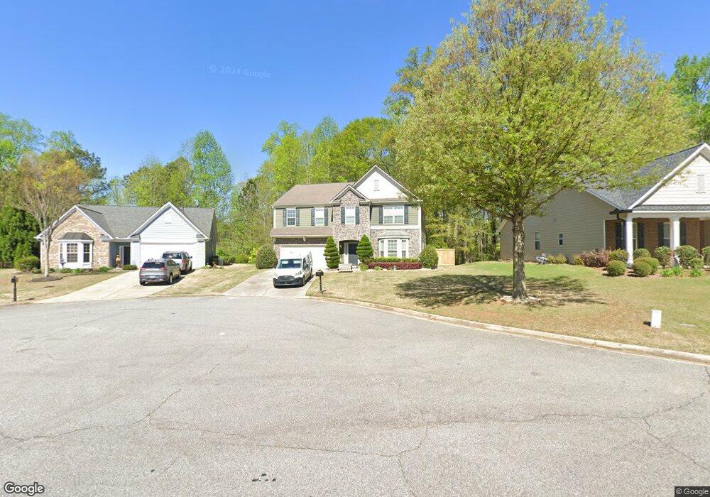
5690 Livingston Ct Cumming, GA 30028
Estimated Value: $480,000 - $522,350
4
Beds
3
Baths
3,143
Sq Ft
$159/Sq Ft
Est. Value
About This Home
This home is located at 5690 Livingston Ct, Cumming, GA 30028 and is currently estimated at $499,088, approximately $158 per square foot. 5690 Livingston Ct is a home located in Forsyth County with nearby schools including Silver City Elementary School, North Forsyth Middle School, and North Forsyth High School.
Ownership History
Date
Name
Owned For
Owner Type
Purchase Details
Closed on
Jun 23, 2011
Sold by
Dr Horton Inc
Bought by
Velasco Patricia and Velasco Rudolfo
Current Estimated Value
Home Financials for this Owner
Home Financials are based on the most recent Mortgage that was taken out on this home.
Original Mortgage
$180,310
Outstanding Balance
$122,062
Interest Rate
4.25%
Mortgage Type
FHA
Estimated Equity
$377,026
Create a Home Valuation Report for This Property
The Home Valuation Report is an in-depth analysis detailing your home's value as well as a comparison with similar homes in the area
Home Values in the Area
Average Home Value in this Area
Purchase History
| Date | Buyer | Sale Price | Title Company |
|---|---|---|---|
| Velasco Patricia | $185,500 | -- |
Source: Public Records
Mortgage History
| Date | Status | Borrower | Loan Amount |
|---|---|---|---|
| Open | Velasco Patricia | $180,310 |
Source: Public Records
Tax History Compared to Growth
Tax History
| Year | Tax Paid | Tax Assessment Tax Assessment Total Assessment is a certain percentage of the fair market value that is determined by local assessors to be the total taxable value of land and additions on the property. | Land | Improvement |
|---|---|---|---|---|
| 2025 | $4,627 | $202,268 | $54,000 | $148,268 |
| 2024 | $4,627 | $188,672 | $52,000 | $136,672 |
| 2023 | $4,429 | $179,952 | $38,000 | $141,952 |
| 2022 | $3,706 | $119,208 | $18,000 | $101,208 |
| 2021 | $3,292 | $119,208 | $18,000 | $101,208 |
| 2020 | $3,063 | $110,904 | $18,000 | $92,904 |
| 2019 | $3,043 | $110,036 | $18,000 | $92,036 |
| 2018 | $3,022 | $109,288 | $18,000 | $91,288 |
| 2017 | $2,699 | $97,264 | $18,000 | $79,264 |
| 2016 | $2,404 | $86,624 | $15,200 | $71,424 |
| 2015 | $2,626 | $94,464 | $15,200 | $79,264 |
| 2014 | $2,100 | $79,304 | $12,000 | $67,304 |
Source: Public Records
Map
Nearby Homes
- 5415 Fieldfreen Dr
- 5260 Fieldgate Ridge Dr
- Essex Plan at Kennison Creek
- 5340 Mundy Ct
- 5435 Trescott Path
- 5270 Mundy Ct
- 4775 Baldwin Dr
- 4810 Hopewell Manor Dr
- Shelby Plan at Hopewell Reserve
- Emerson Plan at Hopewell Reserve
- Canton II Plan at Hopewell Reserve
- Riverside Plan at Hopewell Reserve
- 5030 Mundy Dr
- 5315 Hopewell Manor Dr
- 4720 Montane St
- 4730 Montane St
- 4950 Fieldstone View Cir
- 4840 Montane St
- 4830 Montane St
- 4875 Montane St
- 5690 Livingston Ct Unit 321
- 5680 Livingston Ct
- 5710 Livingston Ct
- 5670 Livingston Ct
- 5720 Livingston Ct
- 5650 Livingston Ct
- 5715 Livingston Ct
- 5695 Livingston Ct
- 5685 Livingston Ct
- 5705 Livingston Ct
- 5640 Livingston Ct
- 5675 Livingston Ct
- 5665 Livingston Ct
- 5970 Stevehaven Ln Unit 29
- 5970 Stevehaven Ln
- 5980 Stevehaven Ln
- 5655 Livingston Ct
- 5960 Stevehaven Ln
- 5645 Livingston Ct
- 5345 Stevehaven Ln