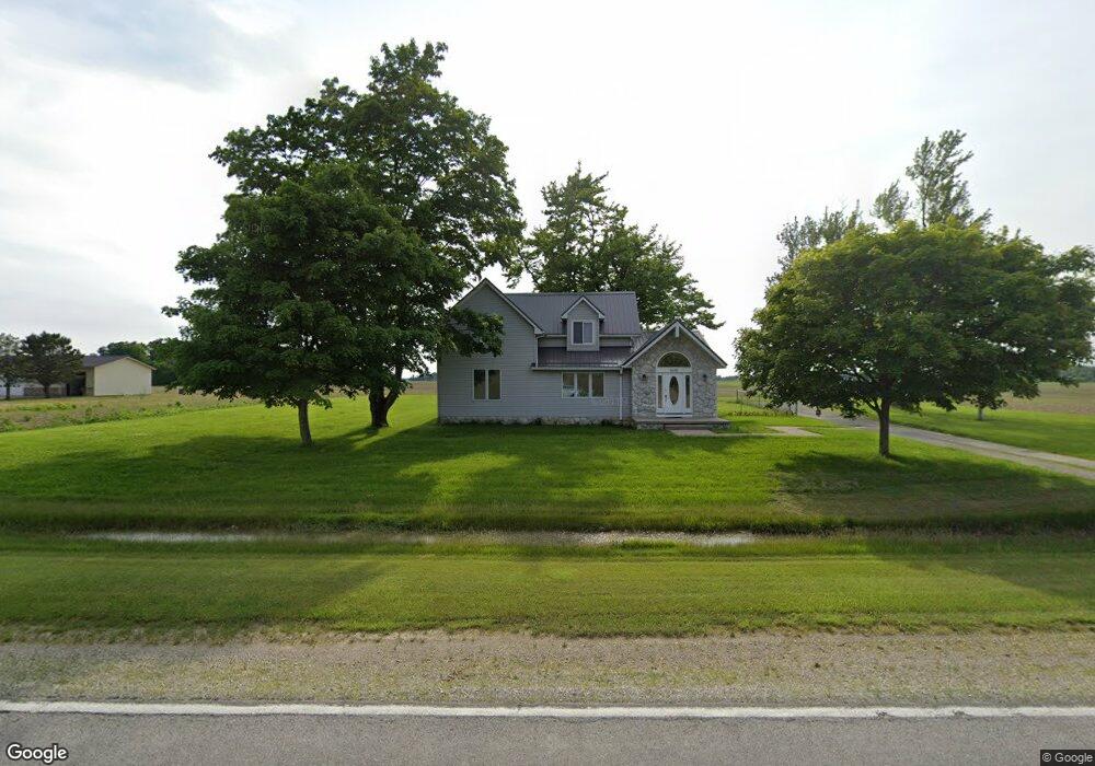
5690 N State Road 301 Craigville, IN 46731
Estimated Value: $237,000 - $323,000
4
Beds
3
Baths
3,601
Sq Ft
$78/Sq Ft
Est. Value
About This Home
This home is located at 5690 N State Road 301, Craigville, IN 46731 and is currently estimated at $280,002, approximately $77 per square foot. 5690 N State Road 301 is a home located in Wells County with nearby schools including Norwell High School and Bethlehem Lutheran School.
Ownership History
Date
Name
Owned For
Owner Type
Purchase Details
Closed on
Jun 18, 2009
Sold by
Markle Bank
Bought by
Voght Adam D and Voght Mary Beth
Current Estimated Value
Home Financials for this Owner
Home Financials are based on the most recent Mortgage that was taken out on this home.
Original Mortgage
$132,498
Outstanding Balance
$84,120
Interest Rate
4.86%
Mortgage Type
New Conventional
Estimated Equity
$195,882
Purchase Details
Closed on
Jun 17, 2009
Sold by
Marklebank
Bought by
Voght Adam D and Voght Mary Beth
Home Financials for this Owner
Home Financials are based on the most recent Mortgage that was taken out on this home.
Original Mortgage
$132,498
Outstanding Balance
$84,120
Interest Rate
4.86%
Mortgage Type
New Conventional
Estimated Equity
$195,882
Purchase Details
Closed on
Oct 3, 2007
Sold by
Sheriff Of Wells Co
Bought by
Markle Bank
Create a Home Valuation Report for This Property
The Home Valuation Report is an in-depth analysis detailing your home's value as well as a comparison with similar homes in the area
Home Values in the Area
Average Home Value in this Area
Purchase History
| Date | Buyer | Sale Price | Title Company |
|---|---|---|---|
| Voght Adam D | $129,900 | Wells County Land Title | |
| Voght Adam D | -- | None Available | |
| Markle Bank | $135,000 | -- | |
| Markle Bank | $135,000 | None Available |
Source: Public Records
Mortgage History
| Date | Status | Borrower | Loan Amount |
|---|---|---|---|
| Open | Voght Adam D | $132,498 |
Source: Public Records
Tax History Compared to Growth
Tax History
| Year | Tax Paid | Tax Assessment Tax Assessment Total Assessment is a certain percentage of the fair market value that is determined by local assessors to be the total taxable value of land and additions on the property. | Land | Improvement |
|---|---|---|---|---|
| 2024 | $1,587 | $242,000 | $43,000 | $199,000 |
| 2023 | $1,446 | $227,100 | $39,200 | $187,900 |
| 2022 | $1,063 | $191,100 | $28,200 | $162,900 |
| 2021 | $912 | $171,400 | $28,200 | $143,200 |
| 2020 | $790 | $170,400 | $28,200 | $142,200 |
| 2019 | $819 | $169,700 | $24,100 | $145,600 |
| 2018 | $736 | $156,800 | $21,900 | $134,900 |
| 2017 | $575 | $155,300 | $21,900 | $133,400 |
| 2016 | $566 | $153,100 | $21,800 | $131,300 |
| 2014 | $549 | $142,400 | $20,000 | $122,400 |
| 2013 | $492 | $138,400 | $19,200 | $119,200 |
Source: Public Records
Map
Nearby Homes
- 6068 N West St
- 6010 N 600 W
- 7805 N 600 E
- 4035 E 800 N
- 5020 N 400 W
- 6936 N State Road 1
- 3803 U S 224
- 3585 N 400 Rd W
- TBD N State Road 1
- Harmony Plan at Crosswind Lakes
- Chatham Plan at Crosswind Lakes
- TBD E 900 N
- 410 Piper Ct
- 305 Piper Ct
- 406 Piper Ct
- 444 Goldenrod Ct
- 430 Goldenrod Ct
- 660 Malfoy Ct
- 630 Malfoy Ct
- 610 Malfoy Ct
- 5626 N State Road 301
- 5657 N State Road 301
- 5786 N State Road 301
- 5799 N 700 E
- 5495 N State Road 301
- 6856 E Us Highway 224
- 6915 E Us Highway 224
- 7176 E Us Highway 224
- 6715 E Us Highway 224
- 7255 E Us Highway 224
- 7370 E Us Highway 224
- 6611 E Us Highway 224
- 7359 E Us Highway 224
- 7418 E Us Highway 224
- 7418 E U S 224
- 6515 E Us Highway 224
- 6456 E Us Highway 224
- 6515 U S 224
- 6434 E Us Highway 224
- 7435 E Us Highway 224