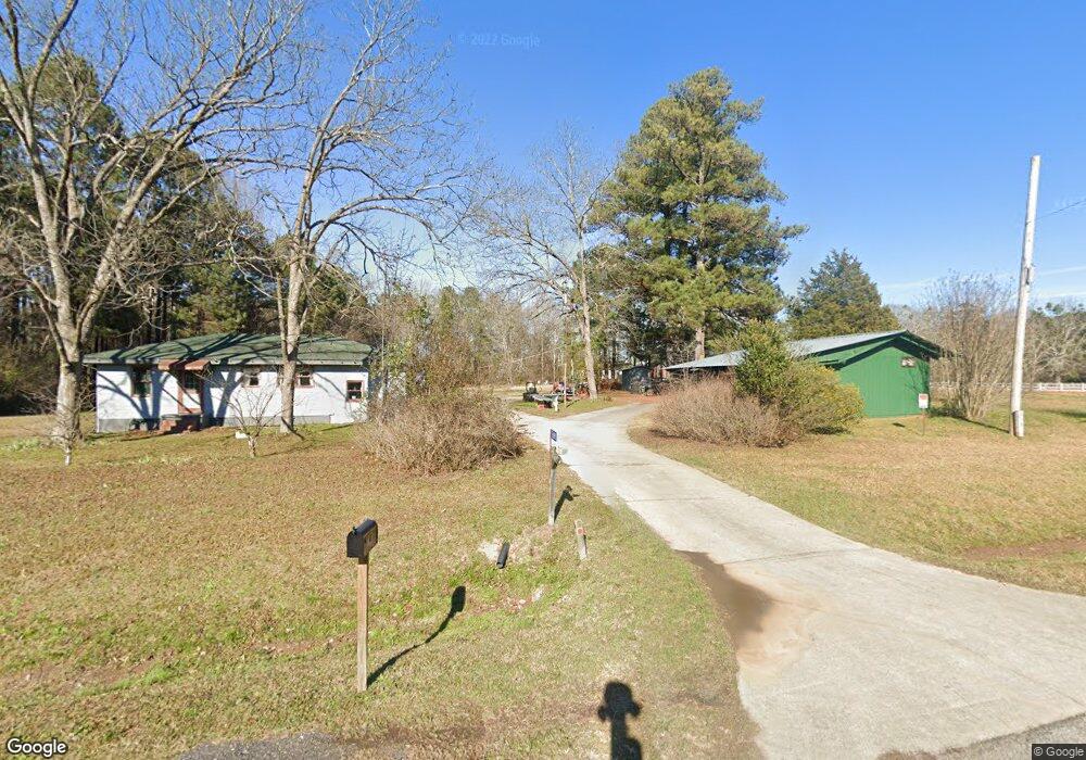
5691 Highway 278 Rutledge, GA 30663
Estimated Value: $365,000 - $397,000
3
Beds
1
Bath
1,100
Sq Ft
$343/Sq Ft
Est. Value
About This Home
This home is located at 5691 Highway 278, Rutledge, GA 30663 and is currently estimated at $376,930, approximately $342 per square foot. 5691 Highway 278 is a home located in Morgan County with nearby schools including Morgan County Primary School, Morgan County Elementary School, and Morgan County Middle School.
Ownership History
Date
Name
Owned For
Owner Type
Purchase Details
Closed on
Aug 3, 2022
Sold by
Mcnure Andrew William Estate
Bought by
Koduru Srividya
Current Estimated Value
Home Financials for this Owner
Home Financials are based on the most recent Mortgage that was taken out on this home.
Original Mortgage
$256,000
Outstanding Balance
$244,335
Interest Rate
5.3%
Mortgage Type
New Conventional
Estimated Equity
$132,595
Purchase Details
Closed on
Dec 1, 2008
Sold by
Mcnure Andrew William
Bought by
Mcnure Doris Evelyn
Purchase Details
Closed on
Mar 24, 1978
Sold by
Carter James E
Bought by
Mcnure Andrew William
Create a Home Valuation Report for This Property
The Home Valuation Report is an in-depth analysis detailing your home's value as well as a comparison with similar homes in the area
Home Values in the Area
Average Home Value in this Area
Purchase History
| Date | Buyer | Sale Price | Title Company |
|---|---|---|---|
| Koduru Srividya | $320,000 | -- | |
| Mcnure Doris Evelyn | -- | -- | |
| Mcnure Andrew William | $15,000 | -- |
Source: Public Records
Mortgage History
| Date | Status | Borrower | Loan Amount |
|---|---|---|---|
| Open | Koduru Srividya | $256,000 |
Source: Public Records
Tax History Compared to Growth
Tax History
| Year | Tax Paid | Tax Assessment Tax Assessment Total Assessment is a certain percentage of the fair market value that is determined by local assessors to be the total taxable value of land and additions on the property. | Land | Improvement |
|---|---|---|---|---|
| 2024 | $2,723 | $119,512 | $38,100 | $81,412 |
| 2023 | $2,533 | $107,777 | $33,867 | $73,910 |
| 2022 | $610 | $42,325 | $13,840 | $28,485 |
| 2021 | $1,040 | $42,325 | $13,840 | $28,485 |
| 2020 | $1,049 | $42,325 | $13,840 | $28,485 |
| 2019 | $1,066 | $42,325 | $13,840 | $28,485 |
| 2018 | $1,060 | $41,444 | $12,959 | $28,485 |
| 2017 | $1,069 | $41,263 | $12,959 | $28,304 |
| 2016 | $998 | $37,728 | $12,582 | $25,147 |
| 2015 | $1,033 | $38,568 | $12,080 | $26,488 |
| 2014 | $765 | $29,348 | $12,760 | $16,588 |
| 2013 | -- | $22,768 | $11,080 | $11,688 |
Source: Public Records
Map
Nearby Homes
- 2070 Walter Shepherd Rd
- 5521 Atlanta Hwy
- 5761 W Dixie Hwy
- 0 Hawkins Academy Rd Unit 10561655
- 5761B W Dixie Hwy
- 1310 Chilton Woods Rd
- 306 W Main St
- 224 Hollis St
- 1971 Centennial Rd
- 5168 Parkview Rd
- 5187 Parkview Rd
- 2535 Willow Ln
- 745 Amber Lakes Ct Unit 2
- 0 Sewell Rd Unit 1023310
- 0 Sewell Rd Unit 10458533
- 5691 Atlanta Hwy
- 5691 Hwy 278
- 5710 Atlanta Hwy
- 5690 Atlanta Hwy
- 5730 Atlanta Hwy
- 2630 Old Mill Rd
- 5750 Atlanta Hwy
- 5661 Atlanta Hwy
- 2750 Old Mill Rd
- 2620 Old Mill Rd
- 5760 Atlanta Hwy
- 2770 Old Mill Rd
- 5580 Atlanta Hwy
- 2790 Old Mill Rd
- 5810 Atlanta Hwy
- 5791 Atlanta Hwy
- 2801 Old Mill Rd
- 2581 Old Mill Rd
- 2810 Old Mill Rd
- 2591 Old Mill Rd