56910 Walker Rd Scappoose, OR 97056
Estimated Value: $692,000 - $717,116
3
Beds
3
Baths
2,181
Sq Ft
$323/Sq Ft
Est. Value
About This Home
This home is located at 56910 Walker Rd, Scappoose, OR 97056 and is currently estimated at $704,558, approximately $323 per square foot. 56910 Walker Rd is a home located in Columbia County with nearby schools including Scappoose High School.
Ownership History
Date
Name
Owned For
Owner Type
Purchase Details
Closed on
Mar 13, 2024
Sold by
Hunter Daniel Arthur and Hunter Kriste Jo
Bought by
Hunter Living Trust and Hunter
Current Estimated Value
Purchase Details
Closed on
May 25, 2007
Sold by
Moore Althea and Hogenkamp Althea
Bought by
Hunter Daniel Arthur and Hunter Kriste Jo
Home Financials for this Owner
Home Financials are based on the most recent Mortgage that was taken out on this home.
Original Mortgage
$570,000
Interest Rate
6.14%
Mortgage Type
Construction
Create a Home Valuation Report for This Property
The Home Valuation Report is an in-depth analysis detailing your home's value as well as a comparison with similar homes in the area
Home Values in the Area
Average Home Value in this Area
Purchase History
| Date | Buyer | Sale Price | Title Company |
|---|---|---|---|
| Hunter Living Trust | -- | None Listed On Document | |
| Hunter Daniel Arthur | $234,270 | Ticor Title |
Source: Public Records
Mortgage History
| Date | Status | Borrower | Loan Amount |
|---|---|---|---|
| Previous Owner | Hunter Daniel Arthur | $570,000 |
Source: Public Records
Tax History Compared to Growth
Tax History
| Year | Tax Paid | Tax Assessment Tax Assessment Total Assessment is a certain percentage of the fair market value that is determined by local assessors to be the total taxable value of land and additions on the property. | Land | Improvement |
|---|---|---|---|---|
| 2025 | $4,816 | $359,025 | $73,395 | $285,630 |
| 2024 | $4,677 | $348,577 | $71,257 | $277,320 |
| 2023 | $4,654 | $338,424 | $74,594 | $263,830 |
| 2022 | $4,446 | $328,568 | $71,888 | $256,680 |
| 2021 | $4,322 | $319,007 | $62,837 | $256,170 |
| 2020 | $3,971 | $309,722 | $64,802 | $244,920 |
| 2019 | $3,872 | $300,704 | $62,234 | $238,470 |
| 2018 | $3,768 | $291,951 | $65,181 | $226,770 |
| 2017 | $3,714 | $283,453 | $63,283 | $220,170 |
| 2016 | $3,683 | $275,200 | $61,440 | $213,760 |
| 2015 | $3,480 | $267,192 | $59,132 | $208,060 |
| 2014 | $3,396 | $259,419 | $57,389 | $202,030 |
Source: Public Records
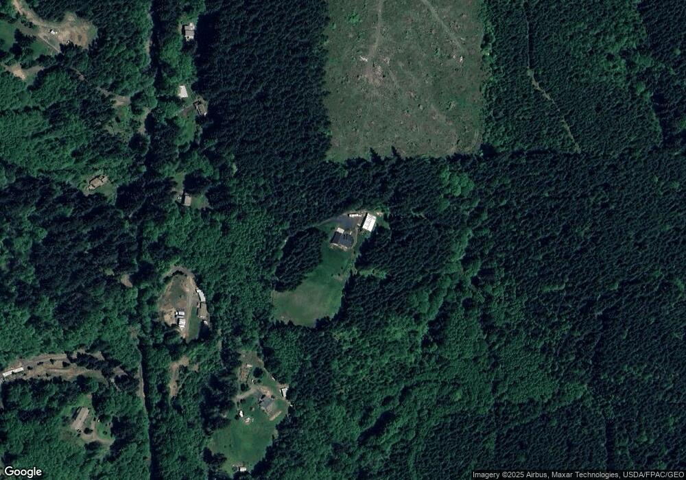
Map
Nearby Homes
- 30004 Scappoose Vernonia Hwy
- 55496 Pioneer Rd
- 28995 Scappoose Vernonia Hwy
- 57647 Cedar Springs Dr
- 31287 New Kirk Rd
- 0 Viewcrest Dr Unit 24577481
- 0 Parcel 1 Peter St St Unit 174014860
- 0 Peter St Unit 1S 480042051
- 57232 Cedar Creek Rd
- 32991 Rodney St
- 31444 New Kirk Rd
- 32650 Oester Rd
- 31917 Brooks Rd
- 0 Reid Rd
- 0 Oester Rd
- 0 Armstrong Rd Unit 101 23014009
- 32005 Scappoose Vernonia Hwy
- 32084 Brooks Rd
- 0 Wight Dr Unit Lot 3 675106164
- 33336 Crown Point Dr
- 56980 Walker Rd
- 57068 Walker Rd
- 56888 Walker Rd
- 56951 Walker Rd
- 57070 Walker Rd
- 56757 Walker Rd
- 56743 Walker Rd Unit 57
- 56733 Walker Rd
- 56644 Walker Rd
- 56644 Walker (Near) Rd
- 57168 Walker Rd
- 57111 Walker Rd
- 57166 Walker Rd
- 56817 Walker Rd
- 57308 Walker Rd
- 57239 Walker Rd
- 56594 Walker Rd
- 57049 Walker Rd
- 57319 Walker Rd
- 57330 Walker Rd