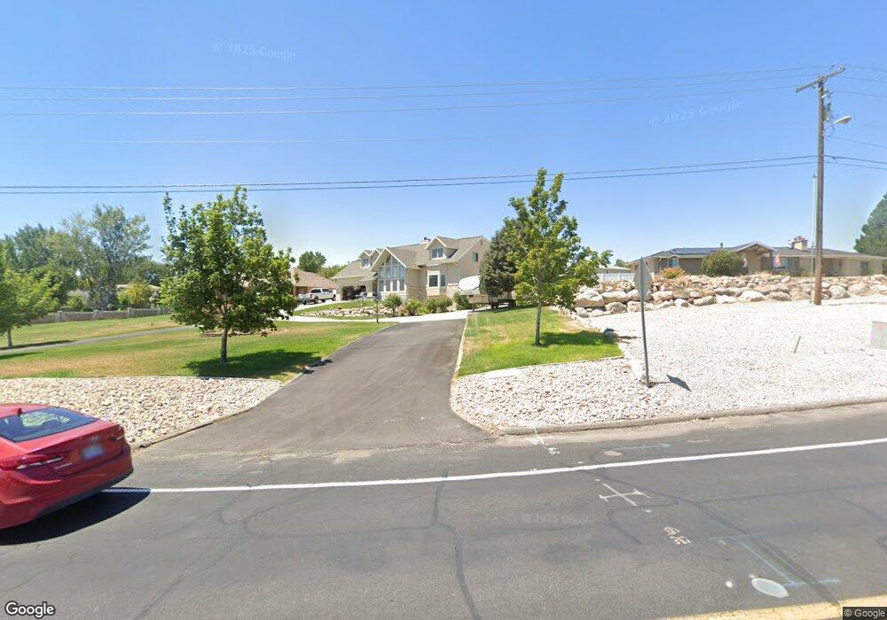
5694 S Canal St Taylorsville, UT 84123
Estimated Value: $707,000 - $946,000
5
Beds
4
Baths
4,620
Sq Ft
$188/Sq Ft
Est. Value
About This Home
This home is located at 5694 S Canal St, Taylorsville, UT 84123 and is currently estimated at $866,784, approximately $187 per square foot. 5694 S Canal St is a home located in Salt Lake County with nearby schools including Plymouth Elementary School, Eisenhower Jr High School, and Taylorsville High School.
Ownership History
Date
Name
Owned For
Owner Type
Purchase Details
Closed on
Jun 18, 2019
Sold by
Lenning David and Lenning Toni
Bought by
Lenning David A and Lenning Toni D
Current Estimated Value
Home Financials for this Owner
Home Financials are based on the most recent Mortgage that was taken out on this home.
Original Mortgage
$480,345
Outstanding Balance
$422,341
Interest Rate
4.1%
Mortgage Type
VA
Estimated Equity
$444,443
Purchase Details
Closed on
Sep 12, 2005
Sold by
Crittenden Douglas O and Crittenden Susan C
Bought by
Lenning David and Lenning Toni
Home Financials for this Owner
Home Financials are based on the most recent Mortgage that was taken out on this home.
Original Mortgage
$293,600
Interest Rate
7.75%
Mortgage Type
New Conventional
Create a Home Valuation Report for This Property
The Home Valuation Report is an in-depth analysis detailing your home's value as well as a comparison with similar homes in the area
Home Values in the Area
Average Home Value in this Area
Purchase History
| Date | Buyer | Sale Price | Title Company |
|---|---|---|---|
| Lenning David A | -- | Real Advantage Ttl Ins Agcy | |
| Lenning David | -- | Sutherland Title |
Source: Public Records
Mortgage History
| Date | Status | Borrower | Loan Amount |
|---|---|---|---|
| Open | Lenning David A | $480,345 | |
| Closed | Lenning David | $293,600 |
Source: Public Records
Tax History Compared to Growth
Tax History
| Year | Tax Paid | Tax Assessment Tax Assessment Total Assessment is a certain percentage of the fair market value that is determined by local assessors to be the total taxable value of land and additions on the property. | Land | Improvement |
|---|---|---|---|---|
| 2025 | $4,808 | $854,400 | $284,800 | $569,600 |
| 2024 | $4,808 | $788,400 | $277,600 | $510,800 |
| 2023 | $4,650 | $748,000 | $266,900 | $481,100 |
| 2022 | $4,747 | $770,300 | $261,600 | $508,700 |
| 2021 | $4,174 | $589,900 | $172,100 | $417,800 |
| 2020 | $4,118 | $550,800 | $132,200 | $418,600 |
| 2019 | $4,054 | $529,400 | $132,200 | $397,200 |
| 2018 | $3,963 | $498,900 | $126,700 | $372,200 |
| 2017 | $3,502 | $463,500 | $126,700 | $336,800 |
| 2016 | $3,738 | $481,600 | $126,700 | $354,900 |
| 2015 | $3,702 | $457,600 | $146,700 | $310,900 |
| 2014 | $3,891 | $472,300 | $153,600 | $318,700 |
Source: Public Records
Map
Nearby Homes
- 1273 W Brister Dr
- 1334 Portside Way Unit 165
- 5435 S Break Water Dr
- 1332 W Ocean Ct
- 1380 W Ocean Ct
- 5449 S Coastal Ct
- 1370 W Telegraph Hill Dr
- 1178 W Brandonwood Dr
- 1401 Beacon Hill Dr Unit 118
- 1381 Beacon Hill Dr
- 1297 Glencoe Dr
- 1193 W Dun Robin Ct
- 1179 W Dun Robin Ct
- 903 W Bullion St
- 913 W Bullion St Unit 10
- Hirst 2 Plan at The Gallery at Bullion - Townhomes
- Caro 2 Plan at The Gallery at Bullion - Townhomes
- Sargent Plan at The Gallery at Bullion - Single Family Homes
- Gomez Plan at The Gallery at Bullion - Single Family Homes
- Dexter Plan at The Gallery at Bullion - Single Family Homes