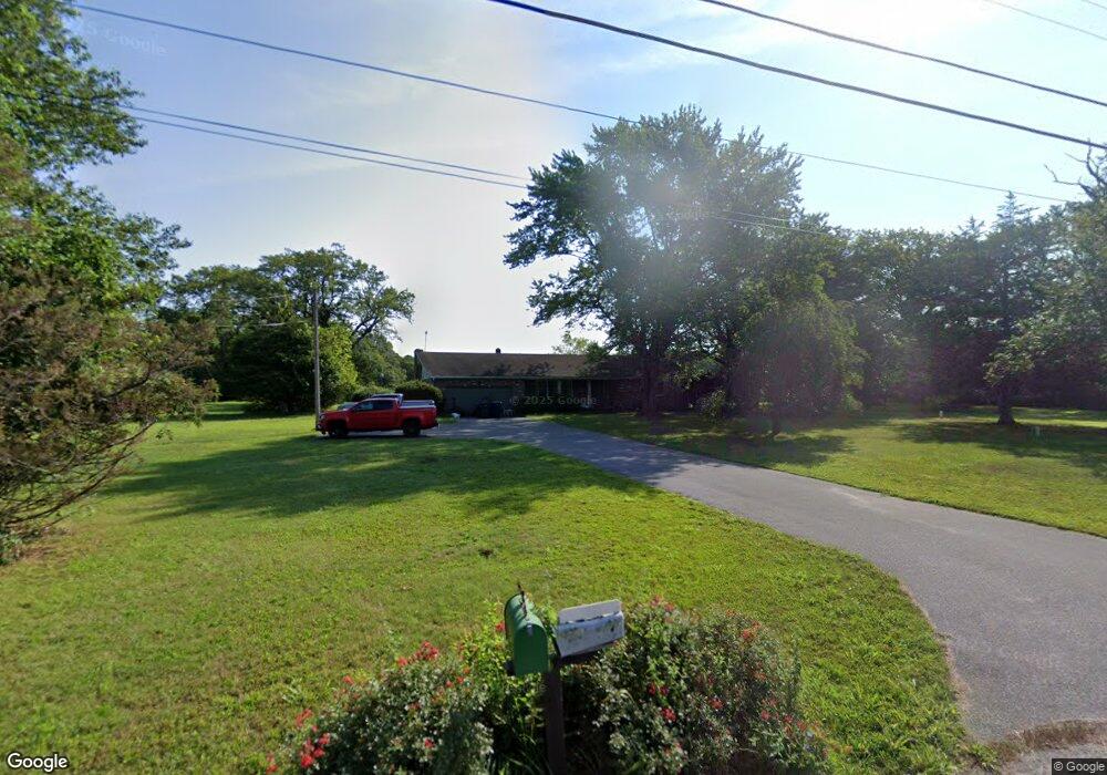
5698 Laurel St Mays Landing, NJ 08330
Estimated Value: $427,000 - $546,000
--
Bed
--
Bath
1,958
Sq Ft
$236/Sq Ft
Est. Value
About This Home
This home is located at 5698 Laurel St, Mays Landing, NJ 08330 and is currently estimated at $461,517, approximately $235 per square foot. 5698 Laurel St is a home located in Atlantic County with nearby schools including Joseph Shaner School, George L. Hess Educational Complex, and William Davies Middle School.
Ownership History
Date
Name
Owned For
Owner Type
Purchase Details
Closed on
Aug 31, 2005
Sold by
Reinhard Patricia
Bought by
Grim Jeffrey and Grim Ann
Current Estimated Value
Home Financials for this Owner
Home Financials are based on the most recent Mortgage that was taken out on this home.
Original Mortgage
$130,000
Outstanding Balance
$69,507
Interest Rate
5.84%
Mortgage Type
Purchase Money Mortgage
Estimated Equity
$392,010
Purchase Details
Closed on
Mar 15, 2002
Sold by
Reinhard Patricia and Reinhard Janet
Bought by
Reinhard Patricia and Reinhard Janet
Create a Home Valuation Report for This Property
The Home Valuation Report is an in-depth analysis detailing your home's value as well as a comparison with similar homes in the area
Home Values in the Area
Average Home Value in this Area
Purchase History
| Date | Buyer | Sale Price | Title Company |
|---|---|---|---|
| Grim Jeffrey | $325,000 | -- | |
| Reinhard Patricia | -- | -- |
Source: Public Records
Mortgage History
| Date | Status | Borrower | Loan Amount |
|---|---|---|---|
| Open | Grim Jeffrey | $130,000 |
Source: Public Records
Tax History Compared to Growth
Tax History
| Year | Tax Paid | Tax Assessment Tax Assessment Total Assessment is a certain percentage of the fair market value that is determined by local assessors to be the total taxable value of land and additions on the property. | Land | Improvement |
|---|---|---|---|---|
| 2025 | $7,284 | $212,300 | $45,700 | $166,600 |
| 2024 | $7,284 | $212,300 | $45,700 | $166,600 |
| 2023 | $6,849 | $212,300 | $45,700 | $166,600 |
| 2022 | $6,849 | $212,300 | $45,700 | $166,600 |
| 2021 | $6,834 | $212,300 | $45,700 | $166,600 |
| 2020 | $6,834 | $212,300 | $45,700 | $166,600 |
| 2019 | $6,851 | $212,300 | $45,700 | $166,600 |
| 2018 | $6,611 | $212,300 | $45,700 | $166,600 |
| 2017 | $6,507 | $212,300 | $45,700 | $166,600 |
| 2016 | $6,324 | $212,300 | $45,700 | $166,600 |
| 2015 | $6,110 | $212,300 | $45,700 | $166,600 |
| 2014 | $6,053 | $230,400 | $52,200 | $178,200 |
Source: Public Records
Map
Nearby Homes
- 5688 Laurel St
- 5714 Laurel St
- 5677 Laurel St
- 5678 Laurel St
- 5638 Laurel St
- 5709 Laurel St
- 5637 Laurel St
- 5744 Laurel St
- 5756 Laurel St
- 5768 Laurel St
- 5780 Laurel St
- 5677 Holly St
- 2702 Cleveland Ave
- 2720 Cleveland Ave
- 5781 Laurel St
- 00000 Laurel St
- 5727 Holly St
- 5647 Holly St
- 5812 Laurel St
- 5747 Holly St