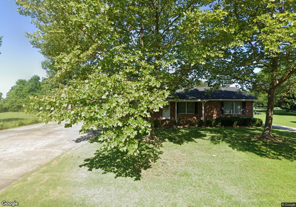
5698 Walnut St Rock Hall, MD 21661
Estimated Value: $426,273 - $537,000
3
Beds
2
Baths
1,456
Sq Ft
$323/Sq Ft
Est. Value
About This Home
This home is located at 5698 Walnut St, Rock Hall, MD 21661 and is currently estimated at $470,318, approximately $323 per square foot. 5698 Walnut St is a home located in Kent County with nearby schools including Kent County Middle School and Kent County High School.
Ownership History
Date
Name
Owned For
Owner Type
Purchase Details
Closed on
Dec 13, 2011
Sold by
Kendall Calvin R Tr Arthur E
Bought by
Tfc Walnut Street Llc
Current Estimated Value
Purchase Details
Closed on
Dec 31, 2008
Sold by
Kendall Calvin R &Lois C Trustees
Bought by
Kendall Calvin R Tr and Kendall Calvin R Arthur E
Purchase Details
Closed on
Oct 7, 2008
Sold by
Kendall Calvin R &Lois C Trustees
Bought by
Kendall Calvin R Tr and Kendall Calvin R Arthur E
Purchase Details
Closed on
Oct 8, 1996
Sold by
Kendall Calvin R and Kendall Lois C
Bought by
Kendall Calvin R &Lois C Trustees
Create a Home Valuation Report for This Property
The Home Valuation Report is an in-depth analysis detailing your home's value as well as a comparison with similar homes in the area
Purchase History
| Date | Buyer | Sale Price | Title Company |
|---|---|---|---|
| Tfc Walnut Street Llc | $262,500 | -- | |
| Kendall Calvin R Tr | -- | -- | |
| Kendall Calvin R Tr | -- | -- | |
| Kendall Calvin R &Lois C Trustees | -- | -- |
Source: Public Records
Tax History
| Year | Tax Paid | Tax Assessment Tax Assessment Total Assessment is a certain percentage of the fair market value that is determined by local assessors to be the total taxable value of land and additions on the property. | Land | Improvement |
|---|---|---|---|---|
| 2025 | $3,791 | $250,400 | $0 | $0 |
| 2024 | $3,328 | $218,400 | $107,300 | $111,100 |
| 2023 | $3,309 | $217,133 | $0 | $0 |
| 2022 | $3,247 | $215,867 | $0 | $0 |
| 2021 | $3,151 | $214,600 | $107,500 | $107,100 |
| 2020 | $3,151 | $213,800 | $0 | $0 |
| 2019 | $3,140 | $213,000 | $0 | $0 |
| 2018 | $3,085 | $212,200 | $107,500 | $104,700 |
| 2017 | $3,085 | $212,200 | $0 | $0 |
| 2016 | -- | $212,200 | $0 | $0 |
| 2015 | $2,948 | $219,300 | $0 | $0 |
| 2014 | $2,948 | $219,300 | $0 | $0 |
Source: Public Records
Map
Nearby Homes
- 5666 Walnut St
- 20812 Mercer Ave
- 5786 S Hawthorne Ave
- 20992 Rock Hall Ave
- 21090 W Sharp St Unit 133
- 21090 W Sharp St Unit 112
- 5827 S Hawthorne Ave
- 5807 Blue Claw Ct
- 21103 Striper Run
- 21124 Striper Run
- 21186 Chesapeake Ave
- 21131 Striper Run
- 21133 Striper Run
- 5979 Lawton Ave
- 6119 New St Unit 2
- 5980 Lawton Ave
- #2 Lawton Ave
- 21235 Rock Hall Ave
- 5916 N Main St
- 21305 Haven Rd
- 5708 Walnut St
- 5716 Walnut St
- 5705 Walnut St
- 5730 Walnut St
- 20839 Bayside Ave
- 0 Walnut St
- 5719 Walnut St
- 20831 Bayside Ave
- 20873 Bayside Ave
- 0 Bayside Ave Unit 1007649728
- 0 Bayside Ave Unit MDKE2002934
- 0 Bayside Ave Unit MDKE117610
- 0 Bayside Ave Unit MDKE116936
- 0 Bayside Ave Unit 1003451300
- Lot 2 Bayside Ave
- 20856 Bayside Ave
- 5667 Walnut St
- 20840 Bayside Ave
- 20812 Bayside Ave
- 20870 Bayside Ave
Your Personal Tour Guide
Ask me questions while you tour the home.