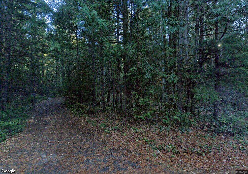
56986 N Bank Rd McKenzie Bridge, OR 97413
Estimated Value: $574,783 - $936,000
3
Beds
1
Bath
1,328
Sq Ft
$567/Sq Ft
Est. Value
About This Home
This home is located at 56986 N Bank Rd, McKenzie Bridge, OR 97413 and is currently estimated at $752,946, approximately $566 per square foot. 56986 N Bank Rd is a home located in Lane County with nearby schools including Mckenzie Elementary School.
Ownership History
Date
Name
Owned For
Owner Type
Purchase Details
Closed on
May 24, 2004
Sold by
Maxwell W Dean and Maxwell Rita Hope
Bought by
Gilbertson Michael A and Gilbertson Leslie F
Current Estimated Value
Home Financials for this Owner
Home Financials are based on the most recent Mortgage that was taken out on this home.
Original Mortgage
$288,000
Outstanding Balance
$133,795
Interest Rate
5.37%
Mortgage Type
Purchase Money Mortgage
Estimated Equity
$619,151
Purchase Details
Closed on
May 3, 2002
Sold by
Macdonald Peter S and Macdonald Sharron L
Bought by
Maxwell W Dean and Maxwell Rita Hope
Create a Home Valuation Report for This Property
The Home Valuation Report is an in-depth analysis detailing your home's value as well as a comparison with similar homes in the area
Home Values in the Area
Average Home Value in this Area
Purchase History
| Date | Buyer | Sale Price | Title Company |
|---|---|---|---|
| Gilbertson Michael A | $360,000 | Western Title & Escrow Co | |
| Maxwell W Dean | $275,000 | Fidelity National Title Co |
Source: Public Records
Mortgage History
| Date | Status | Borrower | Loan Amount |
|---|---|---|---|
| Open | Gilbertson Michael A | $288,000 | |
| Closed | Gilbertson Michael A | $36,000 |
Source: Public Records
Tax History Compared to Growth
Tax History
| Year | Tax Paid | Tax Assessment Tax Assessment Total Assessment is a certain percentage of the fair market value that is determined by local assessors to be the total taxable value of land and additions on the property. | Land | Improvement |
|---|---|---|---|---|
| 2024 | $3,548 | $361,723 | -- | -- |
| 2023 | $3,548 | $351,188 | $0 | $0 |
| 2022 | $3,300 | $340,960 | $0 | $0 |
| 2021 | $3,209 | $331,030 | $0 | $0 |
| 2020 | $3,093 | $321,389 | $0 | $0 |
| 2019 | $2,967 | $312,029 | $0 | $0 |
| 2018 | $2,873 | $294,117 | $0 | $0 |
| 2017 | $2,752 | $294,117 | $0 | $0 |
| 2016 | $3,201 | $285,550 | $0 | $0 |
| 2015 | $3,183 | $277,233 | $0 | $0 |
| 2014 | $3,108 | $269,158 | $0 | $0 |
Source: Public Records
Map
Nearby Homes
- 57255 N Bank Rd
- 56642 Mckenzie Hwy
- 56483 Mckenzie Hwy Unit 1
- 56483 Mckenzie Hwy
- 56411 Mckenzie Hwy Unit 6
- 0 Alma Dr Unit 155780752
- 56294 Hall Dr
- 0 King Rd E Unit 154043130
- 0 McKenzie River Dr Unit 1800 613921739
- 54432 Mckenzie Hwy Unit 38
- 54432 Mckenzie Hwy Unit 18
- 54432 Mckenzie Hwy Unit 37
- 54432 Mckenzie Hwy Unit 24
- 54432 Mckenzie Hwy Unit 23
- 54432 Mckenzie Hwy Unit 9
- 54444 McKenzie River Dr
- 91569 Dearborn Island Rd
- 91747 Blue River Reservoir Rd
- 91737 Blue River Reservoir Rd
- 52984 Mckenzie Hwy
- 56968 N Bank Rd
- 57004 N Bank Rd
- 56975 Mckenzie Hwy
- 56965 Mckenzie Hwy
- 56948 N Bank Rd
- 57020 N Bank Rd
- 56955 Mckenzie Hwy
- 56918 N Bank Rd
- 56905 Mckenzie Hwy
- 57009 N Bank Rd Unit 1
- 57009 N Bank Rd
- 56985 N Bank Rd
- 56971 N Bank Rd
- 56991 N Bank Rd
- 57096 N Bank Rd Unit 7
- 57096 N Bank Rd Unit 4
- 57096 N Bank Rd Unit 6
- 57096 N Bank Rd Unit 3
- 57096 N Bank Rd Unit 2
