Estimated Value: $443,000 - $921,000
3
Beds
5
Baths
2,063
Sq Ft
$338/Sq Ft
Est. Value
About This Home
This home is located at 5699 N 427, Pryor, OK 74361 and is currently estimated at $697,727, approximately $338 per square foot. 5699 N 427 is a home located in Mayes County with nearby schools including Bernita Hughes Elementary School, Adair Middle School, and Adair High School.
Ownership History
Date
Name
Owned For
Owner Type
Purchase Details
Closed on
Oct 29, 2015
Sold by
Clark William Keith
Bought by
Thompson Leslie S
Current Estimated Value
Home Financials for this Owner
Home Financials are based on the most recent Mortgage that was taken out on this home.
Original Mortgage
$500,000
Outstanding Balance
$419,576
Interest Rate
3.94%
Mortgage Type
Purchase Money Mortgage
Estimated Equity
$278,151
Purchase Details
Closed on
Jun 20, 1994
Sold by
Oliver Dewey Mayor Foun
Bought by
Clark William K
Create a Home Valuation Report for This Property
The Home Valuation Report is an in-depth analysis detailing your home's value as well as a comparison with similar homes in the area
Home Values in the Area
Average Home Value in this Area
Purchase History
| Date | Buyer | Sale Price | Title Company |
|---|---|---|---|
| Thompson Leslie S | $500,000 | None Available | |
| Clark William K | $700,000 | -- |
Source: Public Records
Mortgage History
| Date | Status | Borrower | Loan Amount |
|---|---|---|---|
| Open | Thompson Leslie S | $500,000 |
Source: Public Records
Tax History Compared to Growth
Tax History
| Year | Tax Paid | Tax Assessment Tax Assessment Total Assessment is a certain percentage of the fair market value that is determined by local assessors to be the total taxable value of land and additions on the property. | Land | Improvement |
|---|---|---|---|---|
| 2024 | $3,479 | $36,705 | $5,376 | $31,329 |
| 2023 | $3,479 | $35,636 | $5,270 | $30,366 |
| 2022 | $2,952 | $34,598 | $5,110 | $29,488 |
| 2021 | $2,886 | $33,590 | $4,865 | $28,725 |
| 2020 | $2,833 | $32,612 | $4,862 | $27,750 |
| 2019 | $2,868 | $32,666 | $4,197 | $28,469 |
| 2018 | $2,857 | $32,666 | $4,197 | $28,469 |
| 2017 | $2,761 | $32,666 | $4,197 | $28,469 |
| 2016 | $2,772 | $32,666 | $4,197 | $28,469 |
| 2015 | $901 | $11,217 | $4,197 | $7,020 |
| 2014 | $4,236 | $49,040 | $9,728 | $39,312 |
Source: Public Records
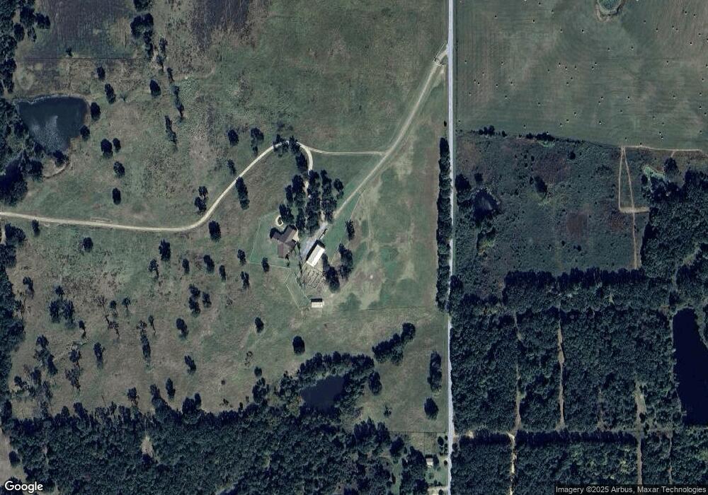
Map
Nearby Homes
- 0 W 440 Rd Unit 2522316
- 6628 N 427
- 6312 N 428
- 3751 N 427
- 7130 W 420 Rd
- 7895 N 428 Rd
- 5378 W 450
- 20944 E 440 Rd
- 16185 S Cedarcrest Dr
- 16251 S Cedarcrest Dr
- 20512 E 430 Rd
- 16400 Hubbard Rd
- 20700 E 420 Rd
- 3031 N 430
- 1825 N 4257 Rd
- 18622 S Fern Place
- 4801 W 410 Rd
- 21540 Oklahoma 28 A
- 0 S 4230 Rd Unit 2540322
- 1488 N 429