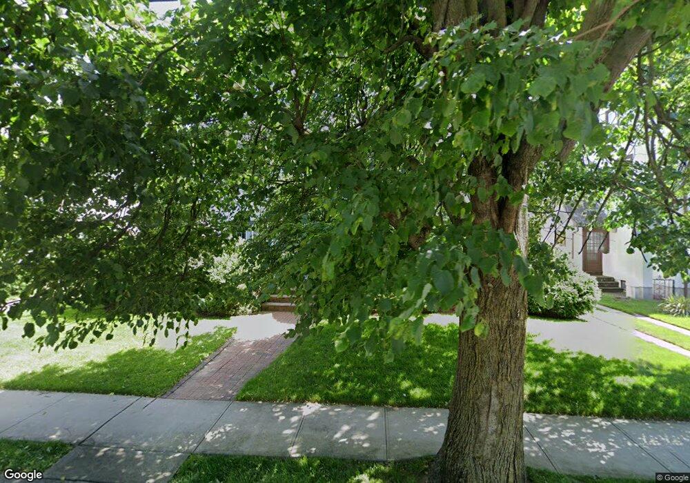
57 Argyle Rd West Hempstead, NY 11552
Estimated Value: $714,000 - $782,488
4
Beds
2
Baths
1,826
Sq Ft
$410/Sq Ft
Est. Value
About This Home
This home is located at 57 Argyle Rd, West Hempstead, NY 11552 and is currently estimated at $748,244, approximately $409 per square foot. 57 Argyle Rd is a home located in Nassau County with nearby schools including Chestnut Street School, West Hempstead Middle School, and West Hempstead Secondary School.
Ownership History
Date
Name
Owned For
Owner Type
Purchase Details
Closed on
Aug 16, 2011
Sold by
Mannix James G and Mannix Maureen
Bought by
Salvo Nancy
Current Estimated Value
Home Financials for this Owner
Home Financials are based on the most recent Mortgage that was taken out on this home.
Original Mortgage
$310,000
Outstanding Balance
$213,371
Interest Rate
4.52%
Mortgage Type
Purchase Money Mortgage
Estimated Equity
$534,873
Create a Home Valuation Report for This Property
The Home Valuation Report is an in-depth analysis detailing your home's value as well as a comparison with similar homes in the area
Home Values in the Area
Average Home Value in this Area
Purchase History
| Date | Buyer | Sale Price | Title Company |
|---|---|---|---|
| Salvo Nancy | $414,500 | -- | |
| Salvo Nancy | $414,500 | -- | |
| Salvo Nancy | $414,500 | -- | |
| Salvo Nancy | $414,500 | -- |
Source: Public Records
Mortgage History
| Date | Status | Borrower | Loan Amount |
|---|---|---|---|
| Open | Salvo Nancy | $310,000 | |
| Closed | Salvo Nancy | $310,000 |
Source: Public Records
Tax History Compared to Growth
Tax History
| Year | Tax Paid | Tax Assessment Tax Assessment Total Assessment is a certain percentage of the fair market value that is determined by local assessors to be the total taxable value of land and additions on the property. | Land | Improvement |
|---|---|---|---|---|
| 2025 | $11,734 | $472 | $144 | $328 |
| 2024 | $3,966 | $493 | $152 | $341 |
| 2023 | $8,980 | $466 | $142 | $324 |
| 2022 | $8,980 | $498 | $152 | $346 |
| 2021 | $11,894 | $480 | $147 | $333 |
| 2020 | $7,144 | $524 | $516 | $8 |
| 2019 | $7,614 | $561 | $517 | $44 |
| 2018 | $7,865 | $599 | $0 | $0 |
| 2017 | $5,337 | $636 | $441 | $195 |
| 2016 | $8,422 | $796 | $552 | $244 |
| 2015 | $3,410 | $796 | $552 | $244 |
| 2014 | $3,410 | $796 | $552 | $244 |
| 2013 | $3,009 | $754 | $552 | $202 |
Source: Public Records
Map
Nearby Homes
- 47 Stratford Rd
- 9 May Ct
- 60 Long Dr
- 170 Ivy St
- 50 Mayfair Ave
- 30 Cathedral Ave Unit 4A
- 44 Saint Pauls Rd S
- 22 Mulford Place Unit 2D
- 22 Mulford Place Unit 6C
- 181 Oak St
- 197 Ivy St
- 179 Fairlawn Ave
- 35 Mulford Place
- 14 Parsons Dr
- 24 Parsons Dr
- 42 Sunset Dr
- 140 Long Dr
- 252 Lexington Ave
- 82 Hilton Ave
- 87 Elton St