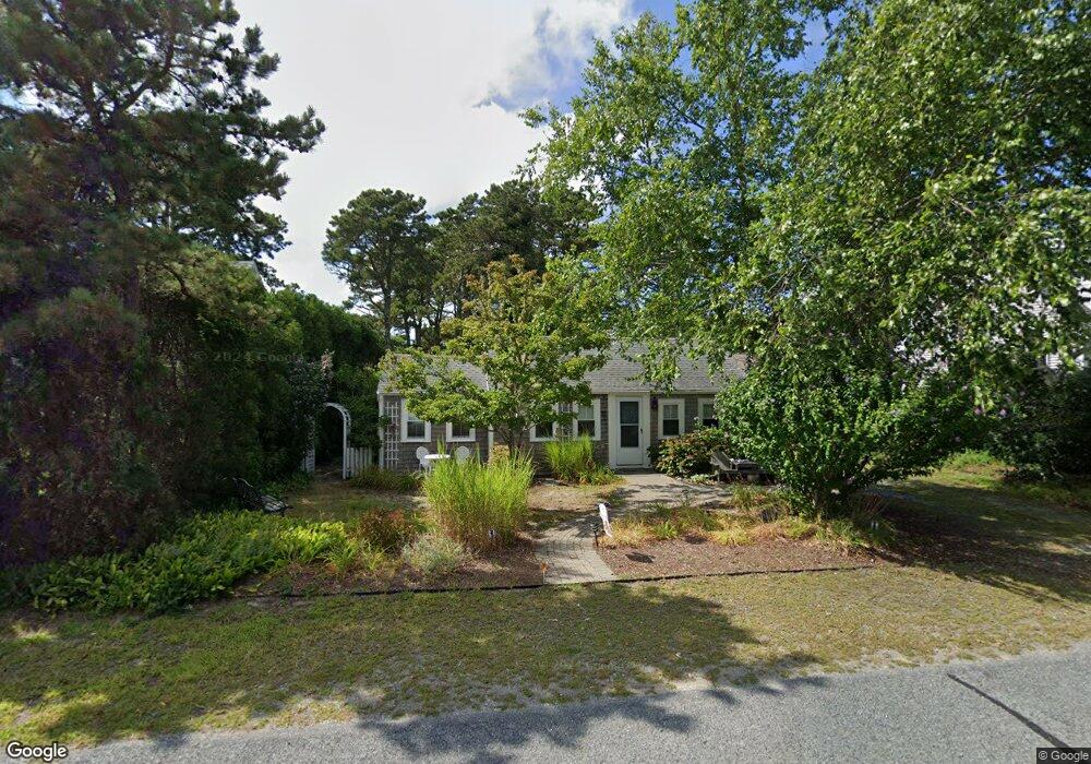
57 Bain Rd Dennis Port, MA 02639
Dennis Port NeighborhoodEstimated Value: $430,000 - $633,000
2
Beds
1
Bath
650
Sq Ft
$827/Sq Ft
Est. Value
About This Home
This home is located at 57 Bain Rd, Dennis Port, MA 02639 and is currently estimated at $537,833, approximately $827 per square foot. 57 Bain Rd is a home located in Barnstable County with nearby schools including Dennis-Yarmouth Regional High School and St. Pius X. School.
Ownership History
Date
Name
Owned For
Owner Type
Purchase Details
Closed on
Feb 26, 2020
Sold by
Grushey William O and Grushey Barbara A
Bought by
Dunbar Donald G and Dunbar Meagan E
Current Estimated Value
Home Financials for this Owner
Home Financials are based on the most recent Mortgage that was taken out on this home.
Original Mortgage
$224,000
Outstanding Balance
$198,758
Interest Rate
3.6%
Mortgage Type
New Conventional
Estimated Equity
$339,075
Purchase Details
Closed on
Aug 14, 1998
Sold by
Blackburn Elaine K and Goodwin Suzanne C
Bought by
Grushey William O and Grushey Barbara A
Home Financials for this Owner
Home Financials are based on the most recent Mortgage that was taken out on this home.
Original Mortgage
$69,600
Interest Rate
6.94%
Mortgage Type
Purchase Money Mortgage
Create a Home Valuation Report for This Property
The Home Valuation Report is an in-depth analysis detailing your home's value as well as a comparison with similar homes in the area
Home Values in the Area
Average Home Value in this Area
Purchase History
| Date | Buyer | Sale Price | Title Company |
|---|---|---|---|
| Dunbar Donald G | $280,000 | None Available | |
| Grushey William O | $87,000 | -- |
Source: Public Records
Mortgage History
| Date | Status | Borrower | Loan Amount |
|---|---|---|---|
| Open | Dunbar Donald G | $224,000 | |
| Previous Owner | Grushey William O | $69,600 |
Source: Public Records
Tax History Compared to Growth
Tax History
| Year | Tax Paid | Tax Assessment Tax Assessment Total Assessment is a certain percentage of the fair market value that is determined by local assessors to be the total taxable value of land and additions on the property. | Land | Improvement |
|---|---|---|---|---|
| 2025 | $2,000 | $461,800 | $279,000 | $182,800 |
| 2024 | $1,830 | $416,800 | $268,300 | $148,500 |
| 2023 | $1,706 | $365,400 | $243,900 | $121,500 |
| 2022 | $1,540 | $275,000 | $192,200 | $82,800 |
| 2021 | $1,526 | $253,000 | $188,400 | $64,600 |
| 2020 | $1,443 | $236,600 | $188,400 | $48,200 |
| 2019 | $1,541 | $249,700 | $200,600 | $49,100 |
| 2018 | $1,588 | $250,400 | $191,000 | $59,400 |
| 2017 | $1,461 | $237,600 | $175,900 | $61,700 |
| 2016 | $1,427 | $218,500 | $165,800 | $52,700 |
| 2015 | $1,398 | $218,500 | $165,800 | $52,700 |
| 2014 | $1,247 | $196,300 | $155,800 | $40,500 |
Source: Public Records
Map
Nearby Homes
- 64 Beaten Rd
- 37 Ocean Dr Unit 2
- 112 Old Wharf Rd Unit E4
- 112 Old Wharf Rd Unit E1
- 120 Old Wharf Rd Unit 11
- 154 Old Wharf Rd Unit 26
- 154 Old Wharf Rd Unit 14
- 217 Old Wharf Rd Unit 64
- 241 Old Wharf Rd Unit 82
- 241 Old Wharf Rd Unit 127
- 241 Old Wharf Rd Unit 90
- 80 Michaels Ave
- 262 Old Wharf Rd Unit 67
- 262 Old Wharf Rd Unit 5
- 262 Old Wharf Rd Unit 5
- 262 Old Wharf Rd Unit 20
- 262 Old Wharf Rd Unit 87
- 31 Easy St
- 37 Beach Hills Rd
- 37-A Beach Hills Rd