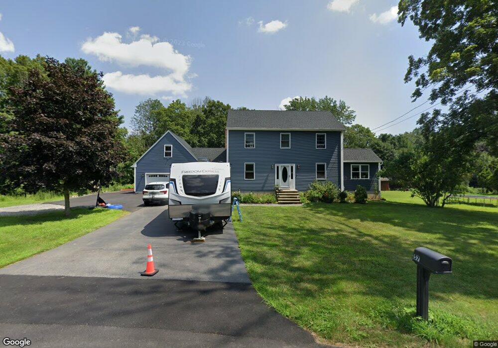
57 Barnett Rd Sutton, MA 01590
Estimated Value: $522,000 - $718,000
3
Beds
3
Baths
1,856
Sq Ft
$345/Sq Ft
Est. Value
About This Home
This home is located at 57 Barnett Rd, Sutton, MA 01590 and is currently estimated at $640,361, approximately $345 per square foot. 57 Barnett Rd is a home located in Worcester County with nearby schools including Sutton Elementary School, Sutton Middle School, and Sutton High School.
Ownership History
Date
Name
Owned For
Owner Type
Purchase Details
Closed on
Feb 19, 2016
Sold by
Balthazar Kimberly
Bought by
A & M Ret
Current Estimated Value
Purchase Details
Closed on
Jan 7, 2011
Sold by
Sexton Lawrence J
Bought by
Balthazar Kimberly
Home Financials for this Owner
Home Financials are based on the most recent Mortgage that was taken out on this home.
Original Mortgage
$188,800
Interest Rate
4.4%
Mortgage Type
Purchase Money Mortgage
Purchase Details
Closed on
Nov 4, 1998
Sold by
Best Built Homes and Hackathorn Mark
Bought by
Sexton Lawrence and Sexton Paula
Home Financials for this Owner
Home Financials are based on the most recent Mortgage that was taken out on this home.
Original Mortgage
$175,000
Interest Rate
6.64%
Mortgage Type
Purchase Money Mortgage
Create a Home Valuation Report for This Property
The Home Valuation Report is an in-depth analysis detailing your home's value as well as a comparison with similar homes in the area
Home Values in the Area
Average Home Value in this Area
Purchase History
| Date | Buyer | Sale Price | Title Company |
|---|---|---|---|
| A & M Ret | -- | -- | |
| Balthazar Kimberly | $236,000 | -- | |
| Sexton Lawrence | $199,500 | -- |
Source: Public Records
Mortgage History
| Date | Status | Borrower | Loan Amount |
|---|---|---|---|
| Previous Owner | Sexton Lawrence | $22,000 | |
| Previous Owner | Balthazar Kimberly | $188,800 | |
| Previous Owner | Sexton Lawrence | $158,000 | |
| Previous Owner | Sexton Lawrence | $175,000 |
Source: Public Records
Tax History
| Year | Tax Paid | Tax Assessment Tax Assessment Total Assessment is a certain percentage of the fair market value that is determined by local assessors to be the total taxable value of land and additions on the property. | Land | Improvement |
|---|---|---|---|---|
| 2025 | $6,878 | $572,200 | $182,000 | $390,200 |
| 2024 | $6,918 | $545,600 | $174,000 | $371,600 |
| 2023 | $5,564 | $401,700 | $158,000 | $243,700 |
| 2022 | $5,298 | $349,000 | $126,800 | $222,200 |
| 2021 | $386 | $328,300 | $126,800 | $201,500 |
| 2020 | $0 | $328,300 | $126,800 | $201,500 |
| 2019 | $5,123 | $310,100 | $126,800 | $183,300 |
| 2018 | $14,931 | $281,100 | $108,200 | $172,900 |
| 2017 | $4,495 | $272,400 | $95,300 | $177,100 |
| 2016 | $4,439 | $266,100 | $95,300 | $170,800 |
| 2015 | $4,227 | $253,400 | $95,300 | $158,100 |
| 2014 | $4,065 | $240,800 | $94,500 | $146,300 |
Source: Public Records
Map
Nearby Homes
- 61 Barnett Rd
- 80 Barnett Rd
- 51 Barnett Rd
- 65 Barnett Rd
- 90R Barnett Rd
- 66 Barnett Rd
- 67 Barnett Rd
- 16 Quabbin Path
- 9 Quabbin Path
- 45 Barnett Rd
- 46 Barnett Rd
- 53 Quabbin Path Unit 14
- 53 Quabbin Path
- 70 Barnett Rd
- 73 Barnett Rd
- 77 Barnett Rd
- 14 Quabbin Path
- 47 Quabbin Path
- 11 Quabbin Path
- 74 Barnett Rd
Your Personal Tour Guide
Ask me questions while you tour the home.