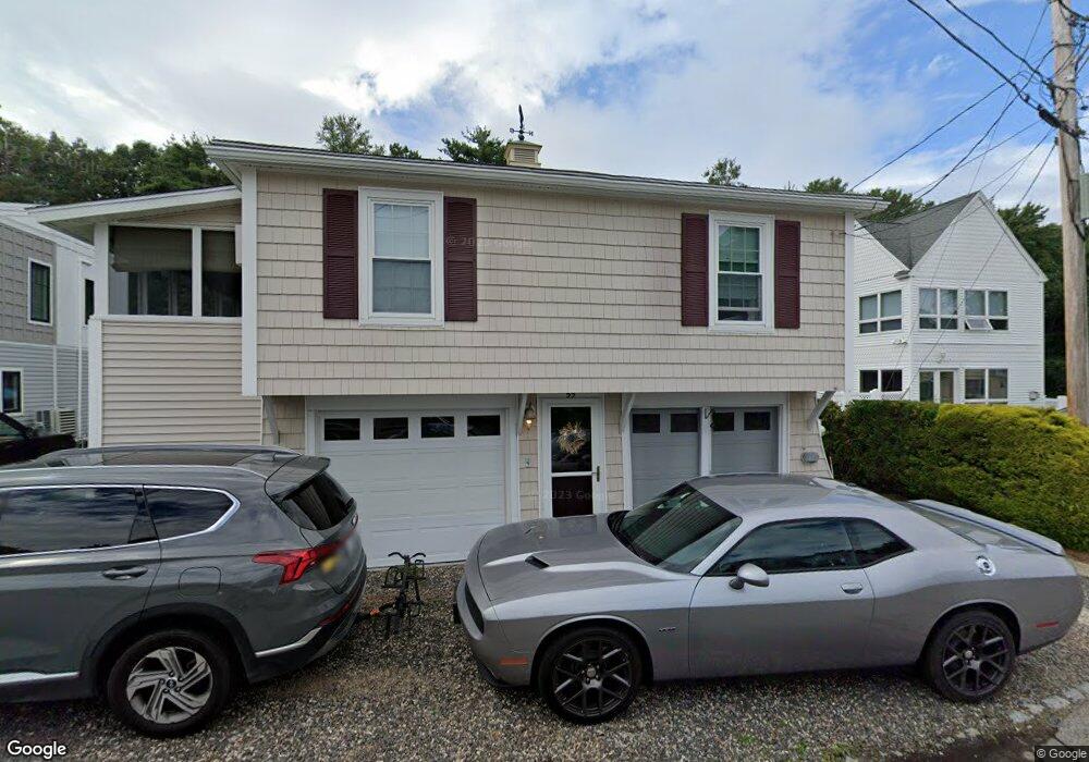
57 Bayview Ave Ogunquit, ME 03907
Ogunquit NeighborhoodEstimated Value: $566,000 - $832,000
3
Beds
2
Baths
1,032
Sq Ft
$709/Sq Ft
Est. Value
About This Home
This home is located at 57 Bayview Ave, Ogunquit, ME 03907 and is currently estimated at $731,977, approximately $709 per square foot. 57 Bayview Ave is a home located in York County with nearby schools including Wells Junior High School, Wells Elementary School, and Wells High School.
Ownership History
Date
Name
Owned For
Owner Type
Purchase Details
Closed on
Jul 17, 2006
Sold by
Holder Linda J and Shillue Noreen P
Bought by
Macleod Pamela J and Macleod Mark
Current Estimated Value
Home Financials for this Owner
Home Financials are based on the most recent Mortgage that was taken out on this home.
Original Mortgage
$338,000
Outstanding Balance
$201,326
Interest Rate
6.71%
Mortgage Type
Purchase Money Mortgage
Estimated Equity
$530,651
Create a Home Valuation Report for This Property
The Home Valuation Report is an in-depth analysis detailing your home's value as well as a comparison with similar homes in the area
Home Values in the Area
Average Home Value in this Area
Purchase History
| Date | Buyer | Sale Price | Title Company |
|---|---|---|---|
| Macleod Pamela J | -- | -- |
Source: Public Records
Mortgage History
| Date | Status | Borrower | Loan Amount |
|---|---|---|---|
| Open | Macleod Pamela J | $338,000 |
Source: Public Records
Tax History
| Year | Tax Paid | Tax Assessment Tax Assessment Total Assessment is a certain percentage of the fair market value that is determined by local assessors to be the total taxable value of land and additions on the property. | Land | Improvement |
|---|---|---|---|---|
| 2024 | $3,829 | $592,800 | $206,300 | $386,500 |
| 2023 | $3,829 | $592,800 | $206,300 | $386,500 |
| 2022 | $3,746 | $592,800 | $206,300 | $386,500 |
| 2021 | $3,983 | $489,300 | $178,400 | $310,900 |
| 2020 | $3,914 | $489,300 | $178,400 | $310,900 |
| 2019 | $3,914 | $489,300 | $178,400 | $310,900 |
| 2018 | $3,827 | $483,800 | $178,400 | $305,400 |
| 2017 | $3,667 | $483,800 | $178,400 | $305,400 |
| 2016 | $3,590 | $443,800 | $129,700 | $314,100 |
| 2015 | $3,581 | $443,800 | $129,700 | $314,100 |
| 2014 | $3,444 | $443,800 | $129,700 | $314,100 |
Source: Public Records
Map
Nearby Homes
- 31 Rebecca Rd
- 488 Main St Unit 7
- 76 Post Rd Unit 21M
- 9 Bourne Ave Unit B6
- 168 Ocean Ave
- 191 Tatnic Rd Unit 73
- 1 Old County Rd Unit 165
- 1 Old County Rd Unit 155
- 14 Valleybrook Rd Unit 14
- 25 Shore Rd Unit A
- 20 Shore Rd Unit 2A,B,C,D
- 106 S Tibbetts Ave
- 59 Meadow Ln
- 412 Post Rd Unit 304
- 412 Post Rd Unit 145
- 310 Furbish Rd
- 430 Post Rd Unit 320
- 430 Post Rd Unit 181
- 430 Post Rd Unit 256
- 430 Post Rd Unit 177
Your Personal Tour Guide
Ask me questions while you tour the home.