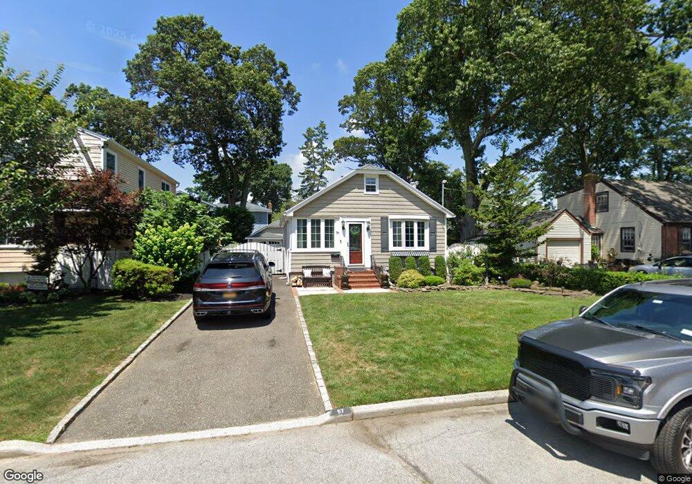
57 Birch St Merrick, NY 11566
Estimated Value: $613,539 - $666,000
Studio
1
Bath
866
Sq Ft
$739/Sq Ft
Est. Value
About This Home
This home is located at 57 Birch St, Merrick, NY 11566 and is currently estimated at $639,770, approximately $738 per square foot. 57 Birch St is a home located in Nassau County with nearby schools including Merrick Avenue Middle School, Sanford H Calhoun High School, and Grace Christian Academy.
Ownership History
Date
Name
Owned For
Owner Type
Purchase Details
Closed on
Jan 12, 2011
Sold by
Federal National Mortgage Association
Bought by
Hendershot Nicole
Current Estimated Value
Home Financials for this Owner
Home Financials are based on the most recent Mortgage that was taken out on this home.
Original Mortgage
$314,577
Interest Rate
4.87%
Mortgage Type
FHA
Purchase Details
Closed on
Dec 13, 2000
Sold by
Magliochetti Christiano Pastina
Bought by
Cohen Bennet
Purchase Details
Closed on
May 27, 1997
Create a Home Valuation Report for This Property
The Home Valuation Report is an in-depth analysis detailing your home's value as well as a comparison with similar homes in the area
Home Values in the Area
Average Home Value in this Area
Purchase History
| Date | Buyer | Sale Price | Title Company |
|---|---|---|---|
| Hendershot Nicole | $299,730 | -- | |
| Cohen Bennet | $227,000 | William Broder | |
| -- | -- | -- |
Source: Public Records
Mortgage History
| Date | Status | Borrower | Loan Amount |
|---|---|---|---|
| Previous Owner | Hendershot Nicole | $314,577 |
Source: Public Records
Tax History
| Year | Tax Paid | Tax Assessment Tax Assessment Total Assessment is a certain percentage of the fair market value that is determined by local assessors to be the total taxable value of land and additions on the property. | Land | Improvement |
|---|---|---|---|---|
| 2025 | $9,555 | $364 | $173 | $191 |
| 2024 | $2,743 | $368 | $175 | $193 |
Source: Public Records
Map
Nearby Homes
- 70 Nancy Blvd
- 1563 Stevens Ave
- 1680 Lake Ave
- 20 Kenneth Ave
- 19 Margaret Blvd
- 18 Helene Ave
- 16 Margaret Blvd
- 2 Garfield St
- 1448 Dewey Ave
- 2016 Abbot Ave
- 138 Hewlett Ave
- 2298 Cleveland St
- 1715 Remson Ave
- 2452 Coolidge Ave
- 2434 Martin Ave
- 24 Loines Ave
- TBD Camp Ave
- 2009 Newbridge Rd
- 2489 Beltagh Ave
- 116 Winifred Dr
Your Personal Tour Guide
Ask me questions while you tour the home.